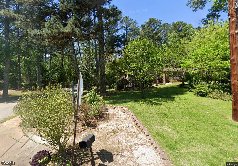
4556 Ranger Rd Unit 1 Stone Mountain, GA 30083
Estimated Value: $235,891 - $271,000
3
Beds
2
Baths
1,776
Sq Ft
$141/Sq Ft
Est. Value
About This Home
This home is located at 4556 Ranger Rd Unit 1, Stone Mountain, GA 30083 and is currently estimated at $250,973, approximately $141 per square foot. 4556 Ranger Rd Unit 1 is a home located in DeKalb County with nearby schools including Allgood Elementary School, Freedom Middle School, and Clarkston High School.
Ownership History
Date
Name
Owned For
Owner Type
Purchase Details
Closed on
Feb 15, 2019
Sold by
P Fin Ii Llc
Bought by
Pfin Ii F Llc
Current Estimated Value
Purchase Details
Closed on
May 15, 2017
Sold by
Not Provided
Bought by
P Fin Ii Llc
Purchase Details
Closed on
May 20, 2014
Sold by
Srp Sub Llc
Bought by
Tarbert Llc
Purchase Details
Closed on
Mar 4, 2014
Sold by
Core Tonya
Bought by
Srp Sub Llc
Purchase Details
Closed on
Aug 9, 1996
Sold by
Harrington Diane J
Bought by
Core Tonya
Create a Home Valuation Report for This Property
The Home Valuation Report is an in-depth analysis detailing your home's value as well as a comparison with similar homes in the area
Home Values in the Area
Average Home Value in this Area
Purchase History
| Date | Buyer | Sale Price | Title Company |
|---|---|---|---|
| Pfin Ii F Llc | -- | -- | |
| P Fin Ii Llc | $5,596,636 | -- | |
| Tarbert Llc | -- | -- | |
| Srp Sub Llc | $52,000 | -- | |
| Core Tonya | $88,800 | -- |
Source: Public Records
Mortgage History
| Date | Status | Borrower | Loan Amount |
|---|---|---|---|
| Closed | Core Tonya | $0 |
Source: Public Records
Tax History Compared to Growth
Tax History
| Year | Tax Paid | Tax Assessment Tax Assessment Total Assessment is a certain percentage of the fair market value that is determined by local assessors to be the total taxable value of land and additions on the property. | Land | Improvement |
|---|---|---|---|---|
| 2025 | $4,106 | $83,600 | $15,884 | $67,716 |
| 2024 | $4,185 | $85,480 | $16,000 | $69,480 |
| 2023 | $4,185 | $93,480 | $16,000 | $77,480 |
| 2022 | $3,883 | $80,720 | $6,000 | $74,720 |
| 2021 | $2,730 | $54,440 | $6,000 | $48,440 |
| 2020 | $2,601 | $51,520 | $6,000 | $45,520 |
| 2019 | $2,559 | $50,560 | $6,000 | $44,560 |
| 2018 | $1,534 | $40,431 | $5,092 | $35,339 |
| 2017 | $1,935 | $36,160 | $3,960 | $32,200 |
| 2016 | $1,505 | $26,360 | $3,960 | $22,400 |
| 2014 | $960 | $13,680 | $3,967 | $9,713 |
Source: Public Records
Map
Nearby Homes
- 4578 Craghill Cir
- 4561 Garden Hills Dr
- 4595 Garden Hills Dr
- 4584 Garden Hills Dr
- 498 Prince of Wales
- 497 Prince of Wales
- 535 Prince of Wales
- 4616 Garden Hills Dr Unit 1
- 539 Prince of Wales
- 465 Prince of Wales
- 573 Allgood Rd
- 4634 Garden Hills Dr
- 419 Prince of Wales
- 4610 Rockbridge Rd
- 488 Barclay Ct
- 404 Prince of Wales
- 400 Prince of Wales
- 398 Prince of Wales
- 4657 Garden Hills Dr
- 4727 Garden Hills Dr
- 4548 Ranger Rd
- 531 Rowland Rd
- 4540 Ranger Rd
- 545 Rowland Rd
- 4532 Ranger Rd Unit 1
- 508 Chartley Dr Unit 1
- 516 Chartley Dr
- 511 Rowland Rd
- 4535 Ranger Rd
- 4524 Ranger Rd
- 555 Rowland Rd
- 500 Chartley Dr
- 514 Rowland Rd
- 524 Rowland Rd
- 499 Rowland Rd
- 540 Rowland Rd
- 5519 Chartley Dr
- 492 Chartley Dr
- 506 Rowland Rd
- 550 Rowland Rd