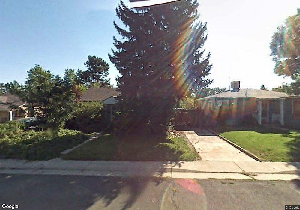
4556 S Pearl St Englewood, CO 80113
Bellewood NeighborhoodEstimated Value: $440,000 - $474,000
2
Beds
1
Bath
1,382
Sq Ft
$330/Sq Ft
Est. Value
About This Home
This home is located at 4556 S Pearl St, Englewood, CO 80113 and is currently estimated at $455,971, approximately $329 per square foot. 4556 S Pearl St is a home located in Arapahoe County with nearby schools including Cherrelyn Elementary School, Englewood Middle School, and Englewood High School.
Ownership History
Date
Name
Owned For
Owner Type
Purchase Details
Closed on
May 15, 2013
Sold by
Faull David J
Bought by
Kimbrough Jaymes and Kimbrough Michael
Current Estimated Value
Home Financials for this Owner
Home Financials are based on the most recent Mortgage that was taken out on this home.
Original Mortgage
$162,011
Outstanding Balance
$114,233
Interest Rate
3.37%
Mortgage Type
FHA
Estimated Equity
$341,738
Purchase Details
Closed on
Dec 26, 1986
Sold by
Conversion Arapco
Bought by
Faull David J
Purchase Details
Closed on
Jul 4, 1776
Bought by
Conversion Arapco
Create a Home Valuation Report for This Property
The Home Valuation Report is an in-depth analysis detailing your home's value as well as a comparison with similar homes in the area
Home Values in the Area
Average Home Value in this Area
Purchase History
| Date | Buyer | Sale Price | Title Company |
|---|---|---|---|
| Kimbrough Jaymes | $165,000 | None Available | |
| Faull David J | -- | -- | |
| Conversion Arapco | -- | -- |
Source: Public Records
Mortgage History
| Date | Status | Borrower | Loan Amount |
|---|---|---|---|
| Open | Kimbrough Jaymes | $162,011 |
Source: Public Records
Tax History Compared to Growth
Tax History
| Year | Tax Paid | Tax Assessment Tax Assessment Total Assessment is a certain percentage of the fair market value that is determined by local assessors to be the total taxable value of land and additions on the property. | Land | Improvement |
|---|---|---|---|---|
| 2024 | $2,045 | $29,071 | -- | -- |
| 2023 | $2,045 | $29,071 | $0 | $0 |
| 2022 | $1,759 | $24,145 | $0 | $0 |
| 2021 | $1,752 | $24,145 | $0 | $0 |
| 2020 | $1,381 | $18,805 | $0 | $0 |
| 2019 | $1,372 | $18,805 | $0 | $0 |
| 2018 | $1,455 | $18,605 | $0 | $0 |
| 2017 | $1,442 | $18,605 | $0 | $0 |
| 2016 | $1,202 | $14,686 | $0 | $0 |
| 2015 | $992 | $14,686 | $0 | $0 |
| 2014 | -- | $13,365 | $0 | $0 |
| 2013 | -- | $14,930 | $0 | $0 |
Source: Public Records
Map
Nearby Homes
- 4401 S Clarkson St
- 4420 S Grant St
- 4720 S Pennsylvania St
- 4720 S Grant St
- 4680 S Sherman St
- 4794 S Pearl St
- 4291 S Clarkson St
- 4703 S Sherman St
- 4822 S Grant St
- 4728 S Acoma St
- 4893 S Sherman St
- 4125 S Washington St
- 4127 S Logan St
- 1515 E Tufts Ave
- 4588 S Cherokee St
- 4087 S Clarkson St
- 4779 S Bannock St
- 664 S Washington Cir
- 4401 S Delaware St
- 4221 S Cherokee St
- 4548 S Pearl St
- 4564 S Pearl St
- 4572 S Pearl St
- 4557 S Washington St
- 4565 S Washington St
- 4549 S Washington St
- 4532 S Pearl St
- 4590 S Pearl St
- 4573 S Washington St
- 4541 S Washington St
- 4565 S Pearl St
- 4559 S Pearl St
- 4569 S Pearl St
- 4524 S Pearl St
- 4596 S Pearl St
- 669 E Tufts Ave
- 4533 S Washington St
- 4555 S Pearl St
- 4577 S Pearl St
- 4541 S Pearl St