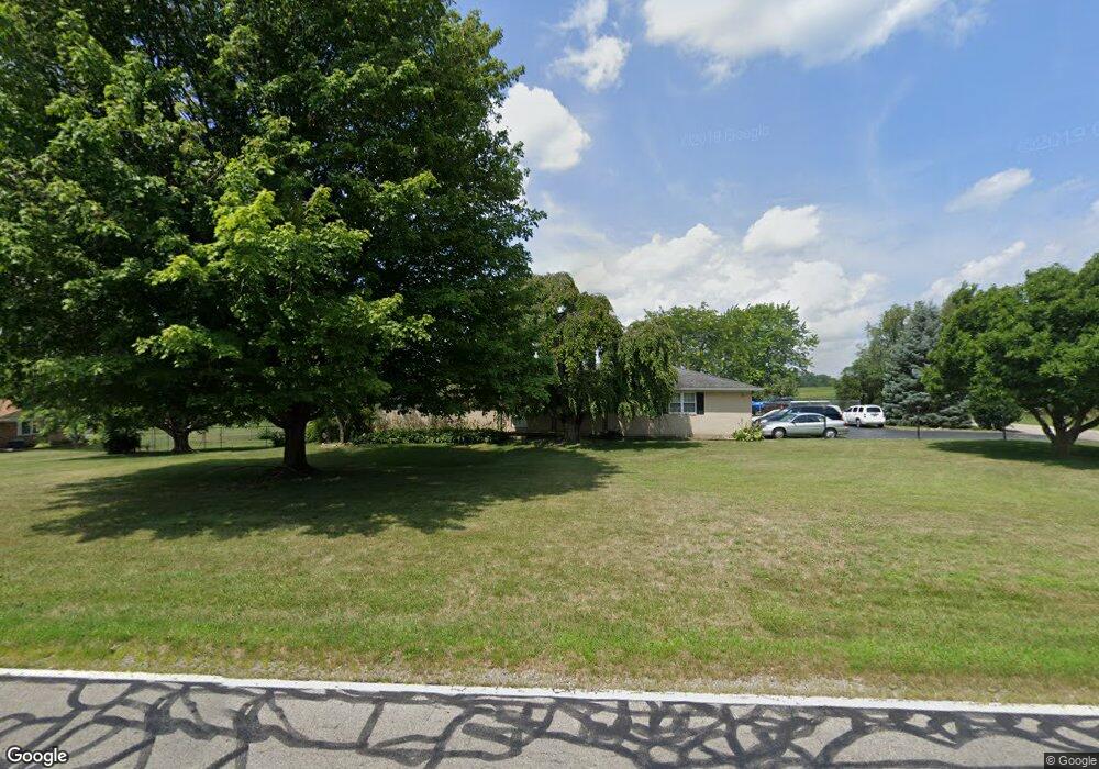
4557 Bosart Rd Springfield, OH 45503
Estimated Value: $286,000 - $317,000
3
Beds
2
Baths
1,624
Sq Ft
$185/Sq Ft
Est. Value
About This Home
This home is located at 4557 Bosart Rd, Springfield, OH 45503 and is currently estimated at $300,153, approximately $184 per square foot. 4557 Bosart Rd is a home located in Clark County with nearby schools including Northridge Elementary School, Kenton Ridge Middle & High School, and Emmanuel Christian Academy.
Ownership History
Date
Name
Owned For
Owner Type
Purchase Details
Closed on
Jan 29, 1996
Sold by
Lapp Earl R
Bought by
Ronald E & Bethany A Turner Jr
Current Estimated Value
Home Financials for this Owner
Home Financials are based on the most recent Mortgage that was taken out on this home.
Original Mortgage
$102,400
Interest Rate
7.19%
Mortgage Type
New Conventional
Create a Home Valuation Report for This Property
The Home Valuation Report is an in-depth analysis detailing your home's value as well as a comparison with similar homes in the area
Home Values in the Area
Average Home Value in this Area
Purchase History
| Date | Buyer | Sale Price | Title Company |
|---|---|---|---|
| Ronald E & Bethany A Turner Jr | $128,000 | -- |
Source: Public Records
Mortgage History
| Date | Status | Borrower | Loan Amount |
|---|---|---|---|
| Closed | Ronald E & Bethany A Turner Jr | $102,400 |
Source: Public Records
Tax History
| Year | Tax Paid | Tax Assessment Tax Assessment Total Assessment is a certain percentage of the fair market value that is determined by local assessors to be the total taxable value of land and additions on the property. | Land | Improvement |
|---|---|---|---|---|
| 2025 | $3,392 | $106,190 | $23,510 | $82,680 |
| 2024 | $3,280 | $77,560 | $19,530 | $58,030 |
| 2023 | $3,280 | $77,560 | $19,530 | $58,030 |
| 2022 | $3,293 | $77,560 | $19,530 | $58,030 |
| 2021 | $3,421 | $68,220 | $16,150 | $52,070 |
| 2020 | $3,424 | $68,220 | $16,150 | $52,070 |
| 2019 | $3,490 | $68,220 | $16,150 | $52,070 |
| 2018 | $3,134 | $58,870 | $14,850 | $44,020 |
| 2017 | $2,685 | $64,684 | $14,854 | $49,830 |
| 2016 | $2,667 | $64,684 | $14,854 | $49,830 |
| 2015 | $2,936 | $65,976 | $16,146 | $49,830 |
| 2014 | $2,935 | $65,976 | $16,146 | $49,830 |
| 2013 | $2,867 | $65,976 | $16,146 | $49,830 |
Source: Public Records
Map
Nearby Homes
- 4898 Brannan Dr E
- 4890 Brannan Dr W Unit 4890
- 4642 Laredo St
- 3972 Covington Dr Unit 3972
- 4732 Lehigh Dr
- 4028 Ryland Dr Unit 4028
- 4652 Reno Ln Unit 15
- 4385 Helena Ct
- 4480 Tacoma St
- 4841 Chippendale Dr
- 1644 Delmar Dr
- 4322 Midfield St Unit 15
- 1341 Student Ave
- 1811 Saint Andrews Ct
- 1415 Montego Dr
- 1738 Berwick Dr Unit 107
- 1977 Willoughby Ave
- 4802 Willowbrook Dr
- 1505 Kingsgate Rd
- 1503 Kingsgate Rd
Your Personal Tour Guide
Ask me questions while you tour the home.