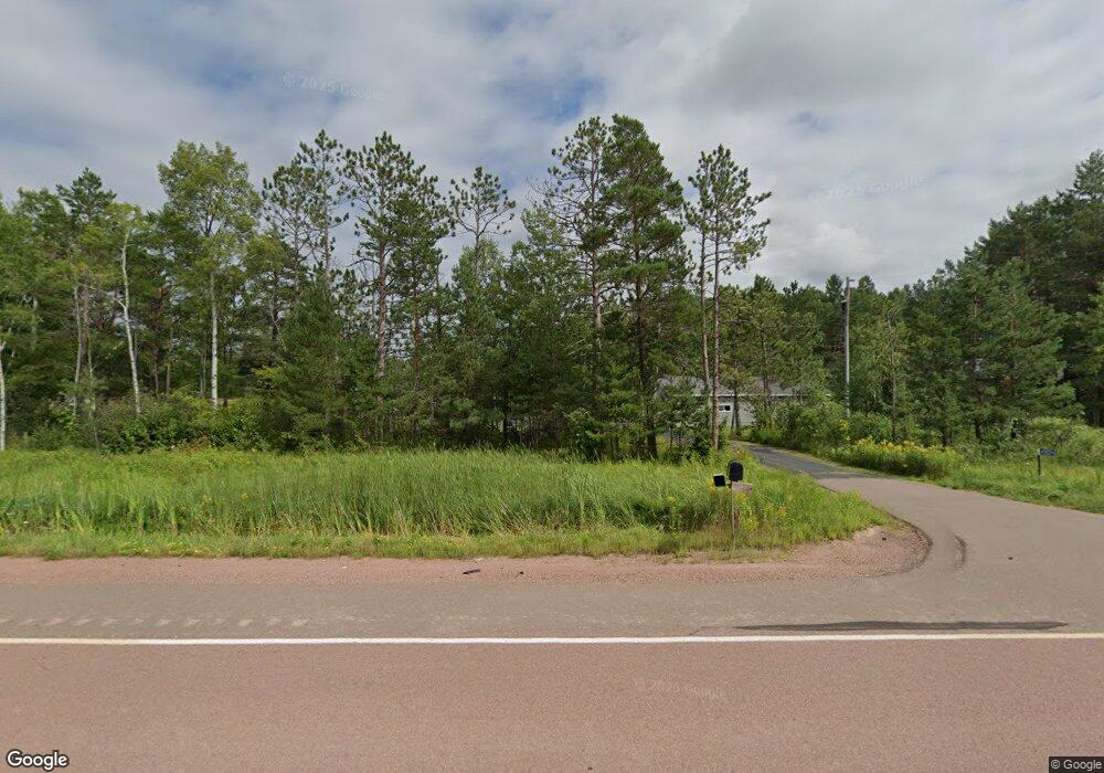
45574 State Highway 13 Ashland, WI 54806
Estimated Value: $229,000 - $304,894
--
Bed
--
Bath
--
Sq Ft
40.83
Acres
About This Home
This home is located at 45574 State Highway 13, Ashland, WI 54806 and is currently estimated at $258,474. 45574 State Highway 13 is a home located in Ashland County with nearby schools including Ashland High School.
Ownership History
Date
Name
Owned For
Owner Type
Purchase Details
Closed on
Apr 26, 2012
Sold by
Shilts Marianne
Bought by
Mousseau Joseph M and Mousseau Wendy K
Current Estimated Value
Purchase Details
Closed on
Sep 28, 2009
Sold by
Shilts Marianne
Bought by
Jepson Kenneth A and Jepson Roxanne L
Purchase Details
Closed on
Apr 9, 2009
Sold by
Shilts Marianne
Bought by
Jepson Kenneth A and Jepson Roxanne L
Home Financials for this Owner
Home Financials are based on the most recent Mortgage that was taken out on this home.
Original Mortgage
$130,000
Interest Rate
4.92%
Create a Home Valuation Report for This Property
The Home Valuation Report is an in-depth analysis detailing your home's value as well as a comparison with similar homes in the area
Home Values in the Area
Average Home Value in this Area
Purchase History
| Date | Buyer | Sale Price | Title Company |
|---|---|---|---|
| Mousseau Joseph M | $120,000 | Choice Title | |
| Jepson Kenneth A | $10,000 | None Available | |
| Jepson Kenneth A | $130,000 | None Available |
Source: Public Records
Mortgage History
| Date | Status | Borrower | Loan Amount |
|---|---|---|---|
| Previous Owner | Jepson Kenneth A | $130,000 |
Source: Public Records
Tax History Compared to Growth
Tax History
| Year | Tax Paid | Tax Assessment Tax Assessment Total Assessment is a certain percentage of the fair market value that is determined by local assessors to be the total taxable value of land and additions on the property. | Land | Improvement |
|---|---|---|---|---|
| 2024 | $3,538 | $146,300 | $50,800 | $95,500 |
| 2023 | $3,124 | $146,300 | $50,800 | $95,500 |
| 2022 | $2,851 | $146,300 | $50,800 | $95,500 |
| 2021 | $2,832 | $146,300 | $50,800 | $95,500 |
| 2020 | $2,444 | $131,600 | $50,800 | $80,800 |
| 2019 | $2,303 | $131,600 | $50,800 | $80,800 |
| 2018 | $2,311 | $131,600 | $50,800 | $80,800 |
| 2017 | $2,500 | $131,600 | $50,800 | $80,800 |
| 2016 | $2,687 | $131,600 | $50,800 | $80,800 |
| 2015 | $2,770 | $131,600 | $50,800 | $80,800 |
| 2014 | $2,440 | $131,600 | $50,800 | $80,800 |
| 2013 | $2,423 | $129,400 | $50,800 | $78,600 |
Source: Public Records
Map
Nearby Homes
- 00 County Highway 13
- 000 Redinger Rd
- 48424 Beaser Rd
- 64895 Tim Ln
- TBD Marengo River Rd E
- 67131 Marengo River Rd E
- 30775 Petrin Rd
- 49746 Griffith Rd
- 30085 Kelly Rd
- Mason Unit WI 54856
- 60214 Osredkar Rd
- 62701 County Highway C
- 00004 Government Rd
- 0000 Ashland Bayfield Rd
- 64500 Setzke Rd
- 60445 Summit Rd W
- 2213 Maple Ln
- 00 State Highway 13
- 2XX 22nd St
- XXX 22nd St
- 45638 State Highway 13
- 45599 State Highway 13
- 45422 State Highway 13
- 45729 State Highway 13
- 45638 Hwy 13
- 45366 State Highway 13
- 45795 State Highway 13
- 45288 State Highway 13
- 45907 State Highway 13
- 45140 State Highway 13
- 46033 State Highway 13
- 64288 Charles Johnson Rd
- 64104 Charles Johnson Rd
- 45767 Redinger Rd
- 45794 Redinger Rd
- 64408 Charles Johnson Rd
- 64049 Charles Johnson Rd
- 64598 Charles Johnson Rd
- 64508 Charles Johnson Rd
- 46323 State Highway 13