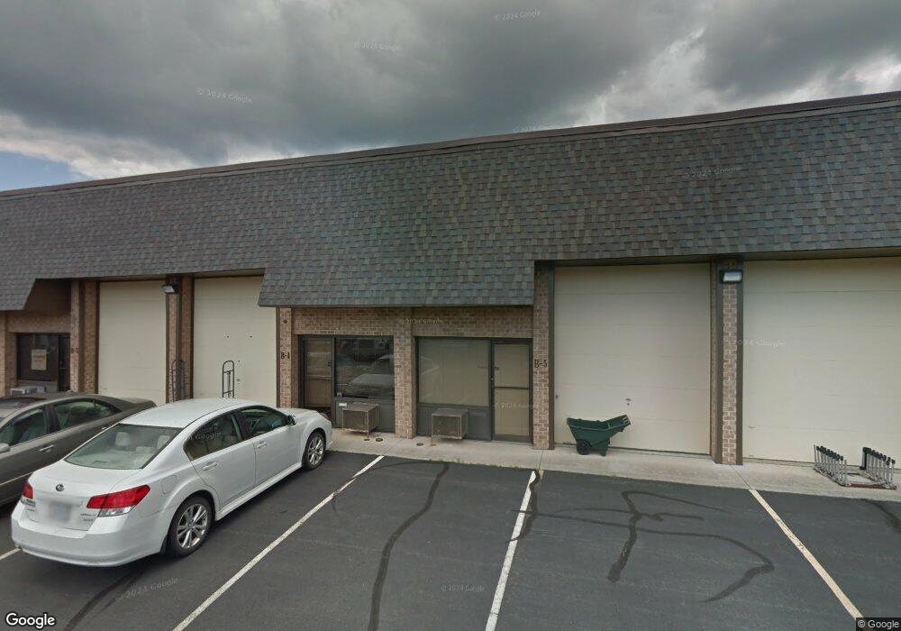
45575 Shepard Dr Unit 101 Sterling, VA 20164
Estimated Value: $313,464
--
Bed
--
Bath
1,190
Sq Ft
$263/Sq Ft
Est. Value
About This Home
This home is located at 45575 Shepard Dr Unit 101, Sterling, VA 20164 and is currently estimated at $313,464, approximately $263 per square foot. 45575 Shepard Dr Unit 101 is a home located in Loudoun County with nearby schools including Guilford Elementary School, Sterling Middle School, and Park View High School.
Ownership History
Date
Name
Owned For
Owner Type
Purchase Details
Closed on
Jan 30, 2025
Sold by
Lyndsay Group Inc
Bought by
C & P Sterling Llc
Current Estimated Value
Home Financials for this Owner
Home Financials are based on the most recent Mortgage that was taken out on this home.
Original Mortgage
$198,000
Outstanding Balance
$167,701
Interest Rate
6.72%
Mortgage Type
New Conventional
Estimated Equity
$145,763
Purchase Details
Closed on
Feb 26, 1999
Sold by
International Four Inc
Bought by
Johnson Richard
Home Financials for this Owner
Home Financials are based on the most recent Mortgage that was taken out on this home.
Original Mortgage
$177,400
Interest Rate
6.76%
Create a Home Valuation Report for This Property
The Home Valuation Report is an in-depth analysis detailing your home's value as well as a comparison with similar homes in the area
Home Values in the Area
Average Home Value in this Area
Purchase History
| Date | Buyer | Sale Price | Title Company |
|---|---|---|---|
| C & P Sterling Llc | $305,000 | Commonwealth Land Title | |
| Johnson Richard | $221,730 | -- |
Source: Public Records
Mortgage History
| Date | Status | Borrower | Loan Amount |
|---|---|---|---|
| Open | C & P Sterling Llc | $198,000 | |
| Previous Owner | Johnson Richard | $177,400 |
Source: Public Records
Tax History Compared to Growth
Tax History
| Year | Tax Paid | Tax Assessment Tax Assessment Total Assessment is a certain percentage of the fair market value that is determined by local assessors to be the total taxable value of land and additions on the property. | Land | Improvement |
|---|---|---|---|---|
| 2025 | $1,981 | $214,200 | $59,500 | $154,700 |
| 2024 | $2,033 | $202,300 | $59,500 | $142,800 |
| 2023 | $1,562 | $178,500 | $59,500 | $119,000 |
| 2022 | $1,589 | $178,500 | $59,500 | $119,000 |
| 2021 | $1,749 | $178,500 | $59,500 | $119,000 |
| 2020 | $1,847 | $178,500 | $59,500 | $119,000 |
| 2019 | $1,865 | $178,500 | $59,500 | $119,000 |
| 2018 | $1,937 | $178,500 | $59,500 | $119,000 |
| 2017 | $2,008 | $178,500 | $59,500 | $119,000 |
| 2016 | $1,908 | $166,600 | $0 | $0 |
| 2015 | $1,823 | $101,150 | $0 | $101,150 |
| 2014 | $1,856 | $101,150 | $0 | $101,150 |
Source: Public Records
Map
Nearby Homes
- 1043B Margate Ct
- 1048A Margate Ct
- 1054 Mycroft Ct
- 901 Holborn Ct
- 1049B Brixton Ct Unit B
- 1048A Brixton Ct
- 1028A Brixton Ct
- 907 Windsor Ct
- 965 Holborn Ct Unit 43
- 1008 Temple Ct
- 935 Sherwood Ct
- 1029 S Ironwood Rd
- 100 W Poplar Rd
- 45401 Daveno Square
- 45394 Daveno Square
- 705 S Birch St
- 703 S Concord Ct
- 702 Williamsburg Rd
- 45433 Clarkes Crossing Square
- 402 W Maple Ave
- 45575 Shepard Dr Unit 201
- 45575 Shepard Dr Unit 101
- 45573 Shepard Dr Unit 201
- 45573 Shepard Dr Unit 101
- 45579 Shepard Dr Unit 101
- 45571 Shepard Dr
- 1420 Shepard Dr Unit B-10
- 1420 Shepard Dr Unit B-12
- 1420 Shepard Dr Unit B8
- 1420 Shepard Dr Unit B-1
- 45589 Shepard Dr Unit 101
- 45591 Shepard Dr Unit 201
- 45593 Shepard Dr Unit 210
- 45593 Shepard Dr Unit 201
- 100 Glenn Dr Unit A-10
- 100 Glenn Dr Unit A-9
- 45595 Shepard Dr Unit 101
- 1400 Shepard Dr Unit 200
- 1400 Shepard Dr
- 1402 Shepard Dr Unit 205
