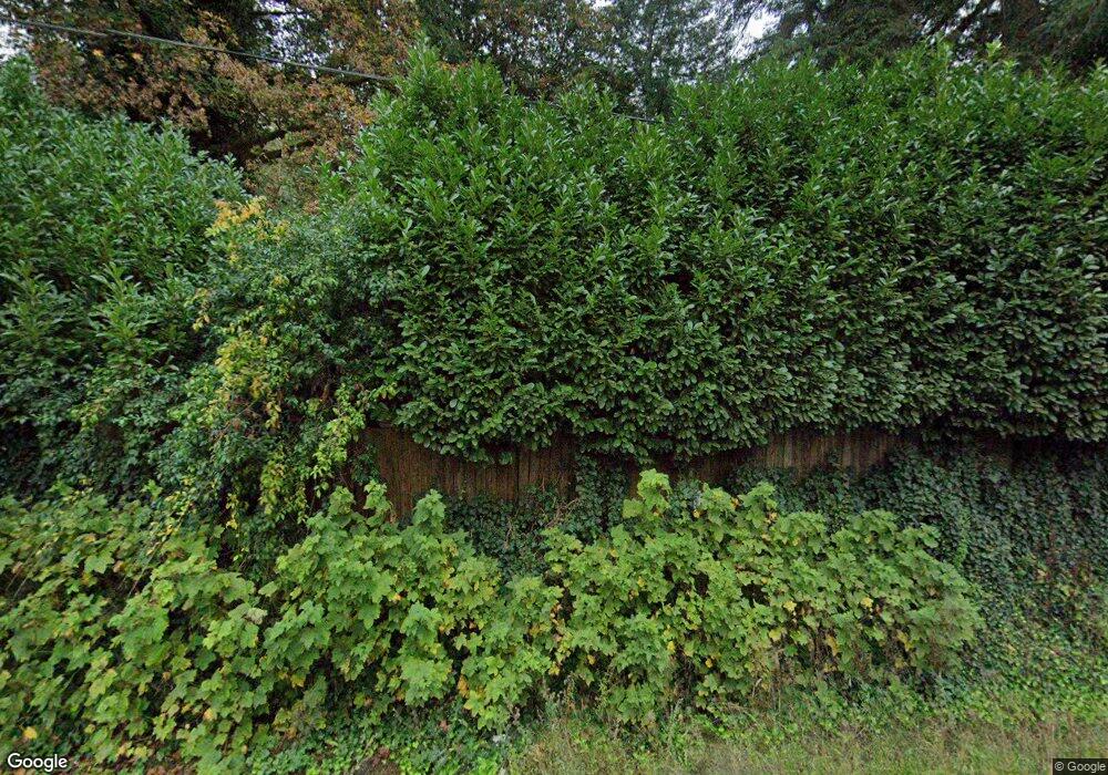
45584 Santiam Hwy Foster, OR 97345
Estimated Value: $157,000 - $279,000
1
Bed
1
Bath
547
Sq Ft
$399/Sq Ft
Est. Value
About This Home
This home is located at 45584 Santiam Hwy, Foster, OR 97345 and is currently estimated at $218,000, approximately $398 per square foot. 45584 Santiam Hwy is a home located in Linn County with nearby schools including Sweet Home High School.
Ownership History
Date
Name
Owned For
Owner Type
Purchase Details
Closed on
Feb 28, 2018
Sold by
Wfi Llc
Bought by
Obrien Donald P and Brien Donna O
Current Estimated Value
Home Financials for this Owner
Home Financials are based on the most recent Mortgage that was taken out on this home.
Original Mortgage
$50,000
Interest Rate
4.04%
Mortgage Type
New Conventional
Purchase Details
Closed on
Feb 16, 2018
Sold by
Wfi Llc
Bought by
Brien Donald P O and Brien Donna L O
Home Financials for this Owner
Home Financials are based on the most recent Mortgage that was taken out on this home.
Original Mortgage
$50,000
Interest Rate
4.04%
Mortgage Type
New Conventional
Purchase Details
Closed on
May 7, 2010
Sold by
Hermens Rose M
Bought by
Obrien Donna Lee
Create a Home Valuation Report for This Property
The Home Valuation Report is an in-depth analysis detailing your home's value as well as a comparison with similar homes in the area
Home Values in the Area
Average Home Value in this Area
Purchase History
| Date | Buyer | Sale Price | Title Company |
|---|---|---|---|
| Obrien Donald P | $70,000 | First American Title | |
| Brien Donald P O | $70,000 | First American Title | |
| Obrien Donna Lee | $10,000 | None Available |
Source: Public Records
Mortgage History
| Date | Status | Borrower | Loan Amount |
|---|---|---|---|
| Closed | Obrien Donald P | $50,000 | |
| Closed | Brien Donald P O | $50,000 |
Source: Public Records
Tax History Compared to Growth
Tax History
| Year | Tax Paid | Tax Assessment Tax Assessment Total Assessment is a certain percentage of the fair market value that is determined by local assessors to be the total taxable value of land and additions on the property. | Land | Improvement |
|---|---|---|---|---|
| 2025 | $782 | $54,720 | -- | -- |
| 2024 | $760 | $53,130 | -- | -- |
| 2023 | $719 | $51,590 | $0 | $0 |
| 2022 | $708 | $50,090 | $0 | $0 |
| 2021 | $679 | $48,640 | $0 | $0 |
| 2020 | $666 | $47,230 | $0 | $0 |
| 2019 | $653 | $45,860 | $0 | $0 |
| 2018 | $635 | $44,530 | $0 | $0 |
| 2017 | $618 | $43,240 | $0 | $0 |
| 2016 | $597 | $41,990 | $0 | $0 |
| 2015 | $587 | $40,770 | $0 | $0 |
| 2014 | $570 | $39,590 | $0 | $0 |
Source: Public Records
Map
Nearby Homes
- 48785 Santiam Hwy
- 000 Hufford Rd
- 0 High Deck (Tl800) Rd Unit 820101
- 0 Riggs Hill Unit TL1316
- 45265 Sunnyside Dr
- 43743 (next to) Viewpoint Ln
- TL 1800 Riggs Hill Rd
- 0 Viewpoint Ln Unit 490512169
- 0 Highway 20 Lot Unit 3000
- 0 Scholl's Addition (Lot Unit 8) 819608
- 1060 54th Ave
- 1700 Dr
- Tax Lot 1700 Jones Dr
- 0 56th Ave Unit 2000 Av
- 0 56th Av (Lot 2000)
- 5351 Osage St
- 1702 54th Ave
- 1383 53rd Ave
- 5211 Redwood St
- 4913 Mimosa Cir
- 45572 Santiam Hwy
- 49035 Santiam Hwy
- 45536 Santiam Hwy
- 45536 Santiam Hwy
- 45630 Santiam Hwy
- 45536 Santiam Hwy
- 45508 Santiam Hwy
- 45509 Santiam Hwy
- 45590 Santiam Hwy
- 45501 Santiam Hwy
- 45501 Santiam Hwy
- 45400 Santiam Hwy
- 45400 Santiam Hwy
- 43711 Viewpoint Ln
- 9999 Cascadia Dr
- 6313 Lake Pointe Way
- 45700 Santiam Hwy
- 45700 Santiam Hwy
- 45370 Santiam Hwy
- 45829 Santiam Hwy
