Estimated Value: $617,000 - $891,958
4
Beds
3
Baths
2,561
Sq Ft
$301/Sq Ft
Est. Value
About This Home
This home is located at 45599 SE Highway 26, Sandy, OR 97055 and is currently estimated at $770,240, approximately $300 per square foot. 45599 SE Highway 26 is a home located in Clackamas County with nearby schools including Firwood Elementary School, Cedar Ridge Middle School, and Sandy High School.
Ownership History
Date
Name
Owned For
Owner Type
Purchase Details
Closed on
Jul 19, 2022
Sold by
Wells George N
Bought by
Wells Family Trust
Current Estimated Value
Purchase Details
Closed on
Dec 10, 2004
Sold by
Wells Tracy J
Bought by
Wells George N
Home Financials for this Owner
Home Financials are based on the most recent Mortgage that was taken out on this home.
Original Mortgage
$359,650
Interest Rate
5.7%
Mortgage Type
Stand Alone Refi Refinance Of Original Loan
Purchase Details
Closed on
Feb 25, 2004
Sold by
Wells George N
Bought by
Wells George N and Wells Tracy J
Home Financials for this Owner
Home Financials are based on the most recent Mortgage that was taken out on this home.
Original Mortgage
$333,700
Interest Rate
5.62%
Mortgage Type
Stand Alone Refi Refinance Of Original Loan
Create a Home Valuation Report for This Property
The Home Valuation Report is an in-depth analysis detailing your home's value as well as a comparison with similar homes in the area
Home Values in the Area
Average Home Value in this Area
Purchase History
| Date | Buyer | Sale Price | Title Company |
|---|---|---|---|
| Wells Family Trust | -- | Tillson Law Pc | |
| Wells George N | -- | Pacific Nw Title | |
| Wells George N | -- | First American | |
| Wells George N | -- | First American |
Source: Public Records
Mortgage History
| Date | Status | Borrower | Loan Amount |
|---|---|---|---|
| Previous Owner | Wells George N | $359,650 | |
| Previous Owner | Wells George N | $333,700 |
Source: Public Records
Tax History Compared to Growth
Tax History
| Year | Tax Paid | Tax Assessment Tax Assessment Total Assessment is a certain percentage of the fair market value that is determined by local assessors to be the total taxable value of land and additions on the property. | Land | Improvement |
|---|---|---|---|---|
| 2024 | $5,491 | $411,894 | -- | -- |
| 2023 | $5,491 | $399,898 | $0 | $0 |
| 2022 | $5,191 | $388,251 | $0 | $0 |
| 2021 | $5,010 | $376,943 | $0 | $0 |
| 2020 | $4,873 | $365,965 | $0 | $0 |
| 2019 | $4,860 | $355,306 | $0 | $0 |
| 2018 | $4,720 | $344,957 | $0 | $0 |
| 2017 | $4,616 | $334,910 | $0 | $0 |
| 2016 | $4,453 | $325,155 | $0 | $0 |
| 2015 | $4,329 | $315,684 | $0 | $0 |
| 2014 | $4,220 | $306,489 | $0 | $0 |
Source: Public Records
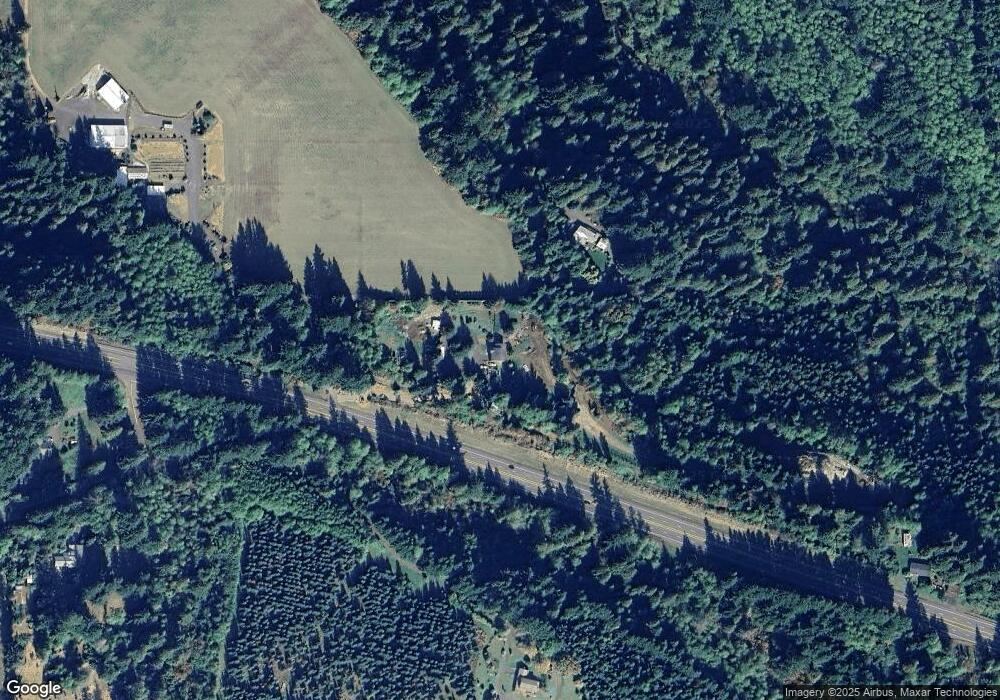
Map
Nearby Homes
- 44871 SE Highway 26
- 45495 SE Coalman Rd
- 20671 SE Greenleaf Dr
- 43940 SE Music Camp Rd
- 44434 SE Coalman Rd
- 19151 SE Veneer Ln
- 45990 SE Jadrny Rd
- 21385 SE Firwood Rd
- 42125 SE Luzon Ln
- 23861 SE 442nd Ave
- 41890 Deschutes Ave Unit 82A
- 41865 Deschutes Ave Unit 61
- 41800 Deschutes Ave Unit 86A
- 19005 Ochoco Ct Unit 65
- 18905 Crooked River St Unit 46
- 19025 Ochoco Ct Unit 67
- 19100 Ochoco Ct Unit Lot 70
- 41820 Deschutes Ave Unit Lot 85B
- The Wildcat Plan at Hoodview Heights
- The Rock Creek Plan at Hoodview Heights
- 45710 SE Paha Loop Dr
- 45545 SE Highway 26
- 45545 SE Highway 26
- 45232 SE Paha Loop Dr
- 46121 SE Highway 26
- 44995 SE Paha Loop Dr
- 21021 SE Mccabe Rd
- 44825 SE Highway 26
- 0 SE Mccabe Rd
- 44831 SE Highway 26
- 44859 SE Highway 26
- 46700 SE Coalman Rd
- 46734 SE Coalman Rd
- 44794 SE Highway 26
- 44821 SE Highway 26
- 44801 SE Highway 26
- 46248 SE Coalman Rd
- 46500 SE Highway 26
- 44891 SE Highway 26
- 44861 SE Highway 26