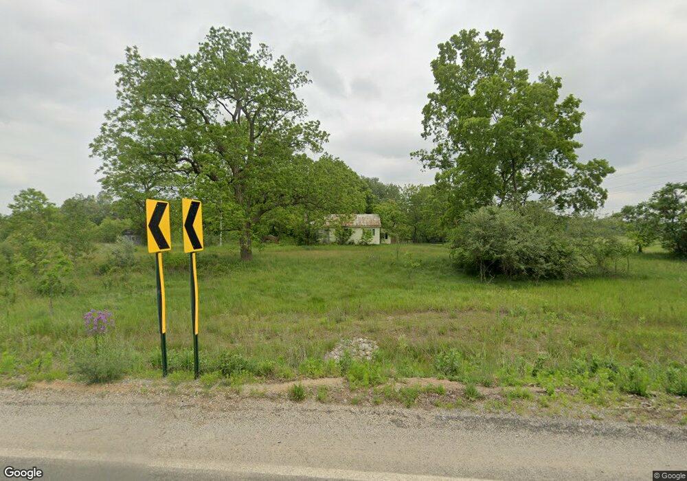
456 133rd Ave Wayland, MI 49348
Estimated Value: $252,272 - $322,000
--
Bed
1
Bath
1,178
Sq Ft
$245/Sq Ft
Est. Value
About This Home
This home is located at 456 133rd Ave, Wayland, MI 49348 and is currently estimated at $288,757, approximately $245 per square foot. 456 133rd Ave is a home located in Allegan County with nearby schools including Wayland High School.
Create a Home Valuation Report for This Property
The Home Valuation Report is an in-depth analysis detailing your home's value as well as a comparison with similar homes in the area
Home Values in the Area
Average Home Value in this Area
Tax History Compared to Growth
Tax History
| Year | Tax Paid | Tax Assessment Tax Assessment Total Assessment is a certain percentage of the fair market value that is determined by local assessors to be the total taxable value of land and additions on the property. | Land | Improvement |
|---|---|---|---|---|
| 2025 | $2,231 | $125,400 | $47,400 | $78,000 |
| 2024 | $2,039 | $124,300 | $52,200 | $72,100 |
| 2023 | $2,091 | $91,300 | $47,400 | $43,900 |
| 2022 | $2,039 | $67,500 | $27,800 | $39,700 |
| 2021 | $1,878 | $63,900 | $27,800 | $36,100 |
| 2020 | $1,837 | $63,300 | $25,300 | $38,000 |
| 2019 | $1,793 | $54,800 | $25,300 | $29,500 |
| 2018 | $904 | $52,500 | $28,900 | $23,600 |
| 2017 | $0 | $52,300 | $28,900 | $23,400 |
| 2016 | $0 | $46,300 | $27,900 | $18,400 |
| 2015 | -- | $46,300 | $27,900 | $18,400 |
| 2014 | -- | $43,800 | $27,100 | $16,700 |
| 2013 | -- | $42,700 | $27,100 | $15,600 |
Source: Public Records
Map
Nearby Homes
- 516 131st Ave
- 3214 7th St
- 3269 Stonehill Ct
- 3296 Stonehill Ct
- 590 129th Ave
- 3282 Stonehill Ct
- 843 Wild Flower Ct
- 835 Wild Flower Ct
- 330 Lotz Ct
- 619 137th Ave
- 401 Anderson Dr
- 2841 Odawa Trail
- 12720 S Grey Ct
- 12857 Michael Dr Unit 49
- 1164 E Bernie Ct
- 146 Hanlon Ct
- 212 E Superior St
- 1391 Shadowridge Dr
- 110 E Sycamore St
- 545 N Main St