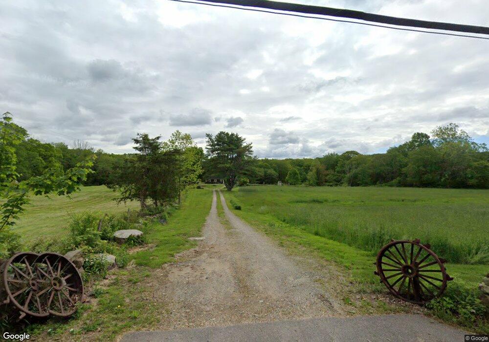
456 Taugwonk Rd Stonington, CT 06378
Estimated Value: $546,000 - $1,088,000
3
Beds
2
Baths
3,116
Sq Ft
$282/Sq Ft
Est. Value
About This Home
This home is located at 456 Taugwonk Rd, Stonington, CT 06378 and is currently estimated at $877,842, approximately $281 per square foot. 456 Taugwonk Rd is a home located in New London County with nearby schools including Stonington Middle School, Stonington High School, and Pine Point School.
Ownership History
Date
Name
Owned For
Owner Type
Purchase Details
Closed on
Sep 29, 2000
Sold by
Harrington Susan B
Bought by
Booker Daniel N and Booker Martha
Current Estimated Value
Home Financials for this Owner
Home Financials are based on the most recent Mortgage that was taken out on this home.
Original Mortgage
$50,000
Interest Rate
7.94%
Mortgage Type
Purchase Money Mortgage
Create a Home Valuation Report for This Property
The Home Valuation Report is an in-depth analysis detailing your home's value as well as a comparison with similar homes in the area
Home Values in the Area
Average Home Value in this Area
Purchase History
| Date | Buyer | Sale Price | Title Company |
|---|---|---|---|
| Booker Daniel N | $350,000 | -- | |
| Booker Daniel N | $350,000 | -- |
Source: Public Records
Mortgage History
| Date | Status | Borrower | Loan Amount |
|---|---|---|---|
| Closed | Booker Daniel N | $50,000 |
Source: Public Records
Tax History Compared to Growth
Tax History
| Year | Tax Paid | Tax Assessment Tax Assessment Total Assessment is a certain percentage of the fair market value that is determined by local assessors to be the total taxable value of land and additions on the property. | Land | Improvement |
|---|---|---|---|---|
| 2025 | $9,644 | $503,590 | $125,890 | $377,700 |
| 2024 | $9,231 | $503,590 | $125,890 | $377,700 |
| 2023 | $9,145 | $503,590 | $125,890 | $377,700 |
| 2022 | $8,730 | $356,470 | $105,370 | $251,100 |
| 2021 | $8,801 | $356,470 | $105,370 | $251,100 |
| 2020 | $8,616 | $356,470 | $105,370 | $251,100 |
| 2019 | $8,673 | $356,470 | $105,370 | $251,100 |
| 2018 | $8,381 | $356,470 | $105,370 | $251,100 |
| 2017 | $7,781 | $326,100 | $108,100 | $218,000 |
| 2016 | $7,520 | $326,100 | $108,100 | $218,000 |
| 2015 | $7,197 | $326,100 | $108,100 | $218,000 |
| 2014 | $6,907 | $326,100 | $108,100 | $218,000 |
Source: Public Records
Map
Nearby Homes
- 579 Taugwonk Rd
- 587 Taugwonk Rd
- 4 Damato Dr
- 135 Stony Brook Rd
- 19 Oak Dr
- 321 N Anguilla Rd
- 20 Providence New London Turnpike Unit Lot 19
- 20 Providence-Nl Turnpike Unit 14A
- 550 Al Harvey Rd
- 46 Dawley Dr
- 508 Al Harvey Rd
- 16 N Anguilla Rd
- 26 Pinecrest Rd
- 3 Fairview Dr
- 130 Stephen Dr
- 87 Elmridge Rd
- 106 Stephen Dr
- 770 Pequot Trail
- 28 Golden Spur
- 1 Circle Dr
- 455 Taugwonk Rd
- 439 Taugwonk Rd
- 476 Taugwonk Rd
- 467 Taugwonk Rd
- 481 Taugwonk Rd
- 491 Taugwonk Rd
- 503 Taugwonk Rd
- 519 Taugwonk Rd
- 522 Taugwonk Rd
- 538 Taugwonk Rd
- 531 Taugwonk Rd
- 369 Taugwonk Rd
- 544 Taugwonk Rd
- 56 Stony Brook Rd
- 547 Taugwonk Rd
- 0 Jeremy Hill Rd
- 54 Stony Brook Rd
- 564 Taugwonk Rd
- 58 Stony Brook Rd
- 523 Taugwonk Rd