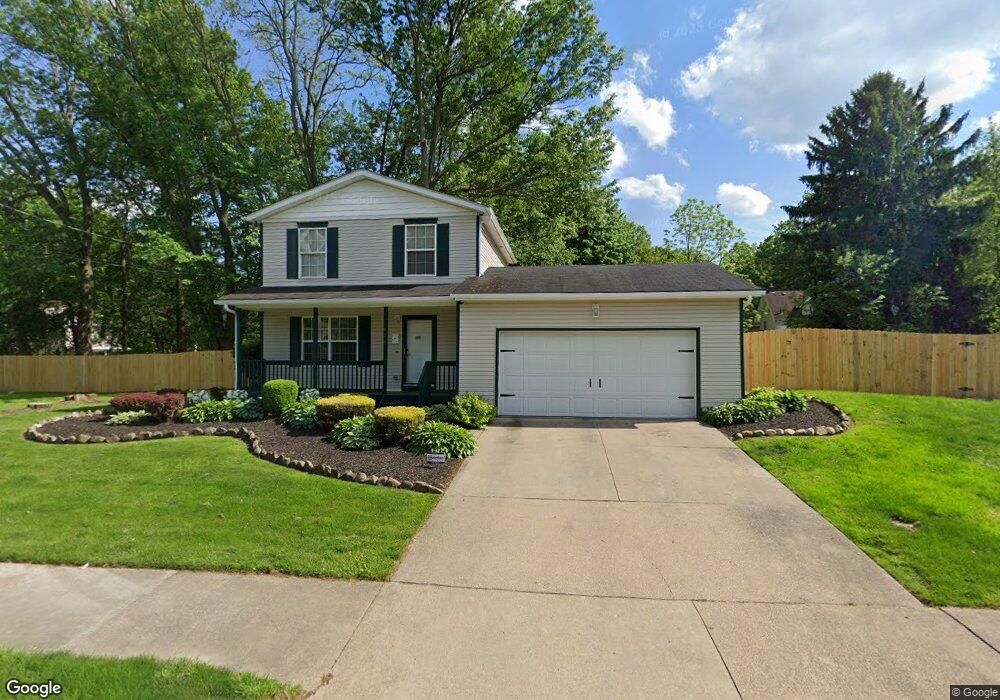
456 W Thornton St Akron, OH 44307
Sherbondy Hill NeighborhoodEstimated Value: $70,000 - $158,000
3
Beds
2
Baths
1,134
Sq Ft
$102/Sq Ft
Est. Value
About This Home
This home is located at 456 W Thornton St, Akron, OH 44307 and is currently estimated at $115,521, approximately $101 per square foot. 456 W Thornton St is a home located in Summit County with nearby schools including St. Bernard-St. Mary Elementary School.
Ownership History
Date
Name
Owned For
Owner Type
Purchase Details
Closed on
Apr 21, 2003
Sold by
Corporation Urban Neighborhood Development Ie
Bought by
Elston Byron T
Current Estimated Value
Home Financials for this Owner
Home Financials are based on the most recent Mortgage that was taken out on this home.
Original Mortgage
$75,378
Interest Rate
5.78%
Mortgage Type
VA
Purchase Details
Closed on
Jun 19, 2000
Sold by
Byrd Johnnie W and Byrd Marvie M
Bought by
Urban Neighborhood Development Corp
Create a Home Valuation Report for This Property
The Home Valuation Report is an in-depth analysis detailing your home's value as well as a comparison with similar homes in the area
Home Values in the Area
Average Home Value in this Area
Purchase History
| Date | Buyer | Sale Price | Title Company |
|---|---|---|---|
| Elston Byron T | $73,900 | Land America/Lawyers Title | |
| Urban Neighborhood Development Corp | $3,500 | Endress/Lawyers Title |
Source: Public Records
Mortgage History
| Date | Status | Borrower | Loan Amount |
|---|---|---|---|
| Previous Owner | Elston Byron T | $75,378 |
Source: Public Records
Tax History Compared to Growth
Tax History
| Year | Tax Paid | Tax Assessment Tax Assessment Total Assessment is a certain percentage of the fair market value that is determined by local assessors to be the total taxable value of land and additions on the property. | Land | Improvement |
|---|---|---|---|---|
| 2025 | $1,581 | $27,300 | $3,689 | $23,611 |
| 2024 | $1,581 | $27,300 | $3,689 | $23,611 |
| 2023 | $1,581 | $27,300 | $3,689 | $23,611 |
| 2022 | $1,314 | $16,058 | $2,170 | $13,888 |
| 2021 | $1,315 | $16,058 | $2,170 | $13,888 |
| 2020 | $2,038 | $16,060 | $2,170 | $13,890 |
| 2019 | $2,567 | $21,630 | $10,070 | $11,560 |
| 2018 | $1,140 | $12,520 | $960 | $11,560 |
| 2017 | $1,094 | $12,520 | $960 | $11,560 |
| 2016 | $1,095 | $12,860 | $960 | $11,900 |
| 2015 | $1,094 | $12,860 | $960 | $11,900 |
| 2014 | $1,087 | $12,860 | $960 | $11,900 |
| 2013 | $1,071 | $12,910 | $960 | $11,950 |
Source: Public Records
Map
Nearby Homes
- 1063 Raymond St
- 949 Raymond St
- 1001 Celina Ave
- 834 Kenyon St
- 963 Penn Ave
- 364 Campbell St
- 1174 La Croix Ave
- 1132 Bristol Terrace
- 810 Amherst St
- 677 Vernon Odom Blvd
- 817 Raymond St
- 849 Amherst St
- 151 Russell Ave
- 721 Vernon Odom Blvd
- 738 Longview Ave
- 737 Vernon Odom Blvd
- 699 Fultz St
- 286 W Miller Ave
- 4 Manila Place
- 794 Ruth Ave
- 460 W Thornton St
- 450 W Thornton St
- 1054 Norka St
- 1060 Norka St
- 1056 Norka St
- 1059 Schumacher Ave
- 1061 Schumacher Ave
- 455 W Thornton St
- 1064 Norka St
- 447 W Thornton St
- 1065 Schumacher Ave
- 1068 Norka St
- 438 W Thornton St
- 1049 Norka St
- 1067 Schumacher Ave
- 445 W Thornton St
- 469 W Thornton St
- 1072 Norka St
- 1058 Schumacher Ave
- 443 W Thornton St