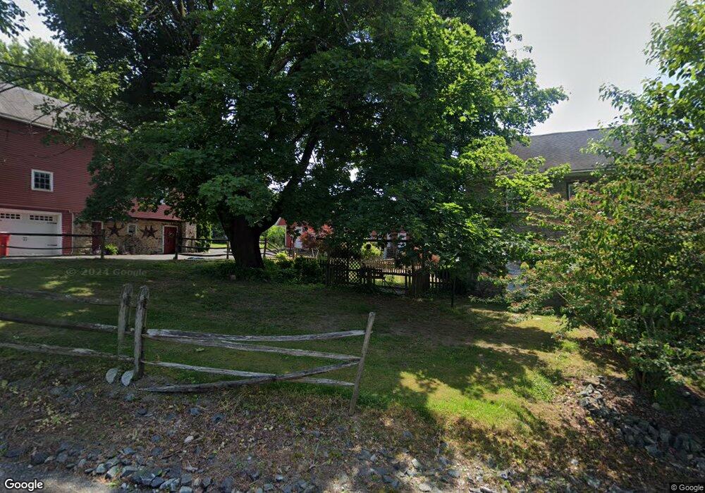
4560 Mill Rd Emmaus, PA 18049
Estimated Value: $532,632 - $806,000
4
Beds
2
Baths
2,252
Sq Ft
$280/Sq Ft
Est. Value
About This Home
This home is located at 4560 Mill Rd, Emmaus, PA 18049 and is currently estimated at $630,908, approximately $280 per square foot. 4560 Mill Rd is a home located in Lehigh County with nearby schools including Macungie Elementary School, Eyer Middle School, and Emmaus High School.
Ownership History
Date
Name
Owned For
Owner Type
Purchase Details
Closed on
Sep 14, 2007
Sold by
Aten David R
Bought by
Erie Robert W
Current Estimated Value
Home Financials for this Owner
Home Financials are based on the most recent Mortgage that was taken out on this home.
Original Mortgage
$408,405
Outstanding Balance
$260,292
Interest Rate
6.7%
Mortgage Type
New Conventional
Estimated Equity
$370,616
Purchase Details
Closed on
Dec 22, 1986
Sold by
Whitaker Judith A
Bought by
Aten Judith A and Aten David R
Purchase Details
Closed on
Jul 24, 1985
Sold by
Norman Alan W and Norman Marion N
Bought by
Whitaker Judith A
Create a Home Valuation Report for This Property
The Home Valuation Report is an in-depth analysis detailing your home's value as well as a comparison with similar homes in the area
Home Values in the Area
Average Home Value in this Area
Purchase History
| Date | Buyer | Sale Price | Title Company |
|---|---|---|---|
| Erie Robert W | $429,900 | -- | |
| Aten Judith A | -- | -- | |
| Whitaker Judith A | $123,700 | -- |
Source: Public Records
Mortgage History
| Date | Status | Borrower | Loan Amount |
|---|---|---|---|
| Open | Erie Robert W | $408,405 |
Source: Public Records
Tax History
| Year | Tax Paid | Tax Assessment Tax Assessment Total Assessment is a certain percentage of the fair market value that is determined by local assessors to be the total taxable value of land and additions on the property. | Land | Improvement |
|---|---|---|---|---|
| 2025 | $8,456 | $331,200 | $73,800 | $257,400 |
| 2024 | $8,081 | $331,200 | $73,800 | $257,400 |
| 2023 | $7,918 | $331,200 | $73,800 | $257,400 |
| 2022 | $7,728 | $331,200 | $257,400 | $73,800 |
| 2021 | $7,562 | $331,200 | $73,800 | $257,400 |
| 2020 | $7,489 | $331,200 | $73,800 | $257,400 |
| 2019 | $7,442 | $331,200 | $73,800 | $257,400 |
| 2018 | $7,252 | $331,200 | $73,800 | $257,400 |
| 2017 | $7,123 | $331,200 | $73,800 | $257,400 |
| 2016 | -- | $331,200 | $73,800 | $257,400 |
| 2015 | -- | $331,200 | $73,800 | $257,400 |
| 2014 | -- | $331,200 | $73,800 | $257,400 |
Source: Public Records
Map
Nearby Homes
- 4471 Stole Rd
- 3868 Mink Rd
- 3985 Mink Rd
- 1717 W Minor St
- 210 S 16th St
- 3641 Samantha Ln Unit 49
- 3643 Samantha Ln Unit 50
- 4441 Taviston Ct E
- 3740 Samantha Ln
- 4476 Lenni Cir
- 5065 Maple Ridge Way
- 5095 Maple Ridge Way Unit Homesite 13
- 4835 Shimerville Rd
- 5401 Red Oak Dr
- 5125 Maple Ridge Way
- 4859 Vera Cruz Rd
- 3508 Lenape Ln
- 4434 Taviston Ct E
- 3540 Lenape Ln
- 3513 Lenape Ln
Your Personal Tour Guide
Ask me questions while you tour the home.