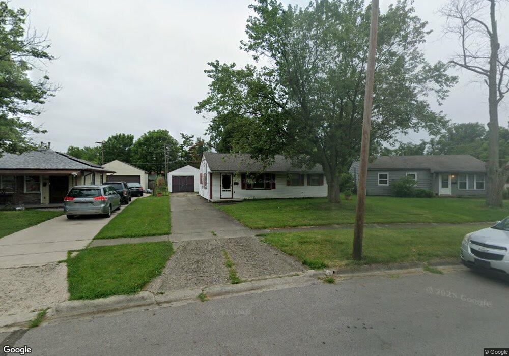
4561 Errington Rd Columbus, OH 43227
Shady Lane NeighborhoodEstimated Value: $197,023 - $224,000
3
Beds
1
Bath
1,236
Sq Ft
$167/Sq Ft
Est. Value
About This Home
This home is located at 4561 Errington Rd, Columbus, OH 43227 and is currently estimated at $207,006, approximately $167 per square foot. 4561 Errington Rd is a home located in Franklin County with nearby schools including Shady Lane Elementary School, Sherwood Middle School, and Walnut Ridge High School.
Ownership History
Date
Name
Owned For
Owner Type
Purchase Details
Closed on
Apr 1, 2024
Sold by
Root Jody A
Bought by
Milo Capital X Llc
Current Estimated Value
Purchase Details
Closed on
Mar 12, 2024
Sold by
Root Jody A
Bought by
Milo Capital X Llc
Purchase Details
Closed on
Apr 30, 1997
Sold by
Cain Candy J
Bought by
Root Jody A and Root Patricia A
Home Financials for this Owner
Home Financials are based on the most recent Mortgage that was taken out on this home.
Original Mortgage
$69,172
Interest Rate
8.05%
Mortgage Type
FHA
Purchase Details
Closed on
Aug 8, 1990
Purchase Details
Closed on
Dec 1, 1986
Create a Home Valuation Report for This Property
The Home Valuation Report is an in-depth analysis detailing your home's value as well as a comparison with similar homes in the area
Home Values in the Area
Average Home Value in this Area
Purchase History
| Date | Buyer | Sale Price | Title Company |
|---|---|---|---|
| Milo Capital X Llc | $55,000 | Columbus Title | |
| Milo Capital X Llc | $55,000 | Columbus Title | |
| Root Jody A | $69,900 | -- | |
| -- | $62,000 | -- | |
| -- | -- | -- |
Source: Public Records
Mortgage History
| Date | Status | Borrower | Loan Amount |
|---|---|---|---|
| Previous Owner | Root Jody A | $69,172 |
Source: Public Records
Tax History Compared to Growth
Tax History
| Year | Tax Paid | Tax Assessment Tax Assessment Total Assessment is a certain percentage of the fair market value that is determined by local assessors to be the total taxable value of land and additions on the property. | Land | Improvement |
|---|---|---|---|---|
| 2024 | $2,636 | $57,510 | $18,200 | $39,310 |
| 2023 | $2,548 | $57,505 | $18,200 | $39,305 |
| 2022 | $1,322 | $25,490 | $6,830 | $18,660 |
| 2021 | $1,324 | $25,490 | $6,830 | $18,660 |
| 2020 | $1,326 | $25,490 | $6,830 | $18,660 |
| 2019 | $1,217 | $20,060 | $5,460 | $14,600 |
| 2018 | $1,208 | $20,060 | $5,460 | $14,600 |
| 2017 | $1,216 | $20,060 | $5,460 | $14,600 |
| 2016 | $1,324 | $19,990 | $5,360 | $14,630 |
| 2015 | $1,202 | $19,990 | $5,360 | $14,630 |
| 2014 | $1,205 | $19,990 | $5,360 | $14,630 |
| 2013 | $699 | $23,520 | $6,300 | $17,220 |
Source: Public Records
Map
Nearby Homes
- 1563 Genoa Place
- 4467 Grimsby Rd
- 4484 Grimsby Rd
- 4571 Aragon Ave
- 1571 Baxter Dr
- 4501 Amesbury Rd
- 4530 Amesbury Rd
- 4677 E Livingston Ave
- 1607 Shady Lane Rd
- 1543 S Hamilton Rd
- 1618 S Hamilton Rd
- 1281 Maetzel Dr
- 1691 Shady Lane Rd
- 4701 Janis Dr
- 4295 Colby Ave
- 1693 Gaynor Rd
- 1678 Huxley Dr
- 1752 S Hamilton Rd
- 4589 Belfast Dr
- 4475 Ellery Dr
- 4567 Errington Rd
- 4553 Errington Rd
- 4560 E Livingston Ave
- 4552 E Livingston Ave
- 4571 Errington Rd
- 4547 Errington Rd
- 4566 E Livingston Ave
- 1489 Simpson Dr
- 4544 E Livingston Ave
- 1481 Simpson Dr
- 4539 Errington Rd
- 1475 Simpson Dr
- 4577 Errington Rd
- 4562 Errington Rd
- 4554 Errington Rd
- 4536 E Livingston Ave
- 4576 E Livingston Ave
- 1469 Simpson Dr
- 4544 Errington Rd
- 4583 Errington Rd