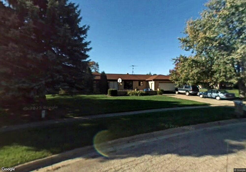
4561 Homestead Ln Portage, MI 49024
Estimated Value: $290,000 - $339,000
3
Beds
2
Baths
2,530
Sq Ft
$124/Sq Ft
Est. Value
About This Home
This home is located at 4561 Homestead Ln, Portage, MI 49024 and is currently estimated at $314,333, approximately $124 per square foot. 4561 Homestead Ln is a home located in Kalamazoo County with nearby schools including Moorsbridge Elementary School, Portage West Middle School, and Portage Central High School.
Ownership History
Date
Name
Owned For
Owner Type
Purchase Details
Closed on
Jan 27, 2006
Sold by
Clark Leah L
Bought by
Double Christopher K
Current Estimated Value
Home Financials for this Owner
Home Financials are based on the most recent Mortgage that was taken out on this home.
Original Mortgage
$153,000
Outstanding Balance
$105,036
Interest Rate
10.24%
Mortgage Type
Fannie Mae Freddie Mac
Estimated Equity
$209,297
Create a Home Valuation Report for This Property
The Home Valuation Report is an in-depth analysis detailing your home's value as well as a comparison with similar homes in the area
Home Values in the Area
Average Home Value in this Area
Purchase History
| Date | Buyer | Sale Price | Title Company |
|---|---|---|---|
| Double Christopher K | -- | None Available |
Source: Public Records
Mortgage History
| Date | Status | Borrower | Loan Amount |
|---|---|---|---|
| Open | Double Christopher K | $153,000 |
Source: Public Records
Tax History Compared to Growth
Tax History
| Year | Tax Paid | Tax Assessment Tax Assessment Total Assessment is a certain percentage of the fair market value that is determined by local assessors to be the total taxable value of land and additions on the property. | Land | Improvement |
|---|---|---|---|---|
| 2025 | $4,293 | $132,000 | $0 | $0 |
| 2024 | $3,780 | $124,900 | $0 | $0 |
| 2023 | $3,603 | $112,600 | $0 | $0 |
| 2022 | $3,893 | $105,100 | $0 | $0 |
| 2021 | $3,762 | $100,300 | $0 | $0 |
| 2020 | $3,681 | $96,900 | $0 | $0 |
| 2019 | $331 | $89,000 | $0 | $0 |
| 2018 | $0 | $80,600 | $0 | $0 |
| 2017 | $0 | $80,000 | $0 | $0 |
| 2016 | -- | $78,000 | $0 | $0 |
| 2015 | -- | $76,100 | $0 | $0 |
| 2014 | -- | $75,000 | $0 | $0 |
Source: Public Records
Map
Nearby Homes
- 4186 Vanderbilt Ave
- 8420 S 12th St
- 5151 W R Ave
- 5191 W R Ave
- 5284 Green Pine Ln
- 5353 Chickadee Dr
- 5420 Whippoorwill Dr
- 7873 Shepherds Glen Ct
- 5727 Bob White Ave
- 8030 Wimbledon Dr Unit 35
- 7961 Kilmory Cir
- 4788 Norfolk Cir
- 5660 Saddle Club Dr
- 2623 Vanderbilt Ave
- 3653 Tartan Cir
- 2413 Shady Oak Cove Unit 68
- 5456 Stoney Brook Rd
- 2600 W Centre Ave Unit +/- 1 Acre
- 2351 W Centre Ave
- 5825 Saddle Club Dr
- 4571 Homestead Ln
- 4592 Wishing Well Ct
- 4535 Homestead Ln
- 8737 Angling Rd
- 4581 Homestead Ln
- 4534 Homestead Ln
- 4501 Homestead Ln
- 4566 Wishing Well Ct
- 4646 Wishing Well Ct
- 8715 Angling Rd
- 4500 Homestead Ln
- 8691 Angling Rd
- 4585 Wishing Well Ct
- 4603 Frontier Ave
- 4535 Frontier Ave
- 4540 Wishing Well Ct
- 4469 Homestead Ln
- 8795 Angling Rd
- 4503 Frontier Ave
- 4657 Frontier Ave