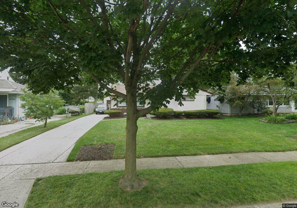
4562 Amesbury Rd Columbus, OH 43227
Shady Lane NeighborhoodEstimated Value: $195,000 - $246,000
3
Beds
2
Baths
1,104
Sq Ft
$201/Sq Ft
Est. Value
About This Home
This home is located at 4562 Amesbury Rd, Columbus, OH 43227 and is currently estimated at $221,582, approximately $200 per square foot. 4562 Amesbury Rd is a home located in Franklin County with nearby schools including Shady Lane Elementary School, Sherwood Middle School, and Walnut Ridge High School.
Ownership History
Date
Name
Owned For
Owner Type
Purchase Details
Closed on
Oct 29, 1999
Sold by
Snider James E
Bought by
King Regina P
Current Estimated Value
Home Financials for this Owner
Home Financials are based on the most recent Mortgage that was taken out on this home.
Original Mortgage
$77,147
Outstanding Balance
$23,606
Interest Rate
7.78%
Mortgage Type
FHA
Estimated Equity
$197,976
Purchase Details
Closed on
Jul 28, 1993
Purchase Details
Closed on
Jul 28, 1992
Create a Home Valuation Report for This Property
The Home Valuation Report is an in-depth analysis detailing your home's value as well as a comparison with similar homes in the area
Home Values in the Area
Average Home Value in this Area
Purchase History
| Date | Buyer | Sale Price | Title Company |
|---|---|---|---|
| King Regina P | $77,200 | Lawyers Title | |
| -- | -- | -- | |
| -- | $68,000 | -- |
Source: Public Records
Mortgage History
| Date | Status | Borrower | Loan Amount |
|---|---|---|---|
| Open | King Regina P | $77,147 |
Source: Public Records
Tax History Compared to Growth
Tax History
| Year | Tax Paid | Tax Assessment Tax Assessment Total Assessment is a certain percentage of the fair market value that is determined by local assessors to be the total taxable value of land and additions on the property. | Land | Improvement |
|---|---|---|---|---|
| 2024 | $2,917 | $65,000 | $16,800 | $48,200 |
| 2023 | $2,880 | $64,995 | $16,800 | $48,195 |
| 2022 | $1,612 | $31,080 | $6,300 | $24,780 |
| 2021 | $1,615 | $31,080 | $6,300 | $24,780 |
| 2020 | $1,617 | $31,080 | $6,300 | $24,780 |
| 2019 | $1,484 | $24,470 | $5,040 | $19,430 |
| 2018 | $1,521 | $24,470 | $5,040 | $19,430 |
| 2017 | $1,484 | $24,470 | $5,040 | $19,430 |
| 2016 | $1,718 | $25,940 | $4,940 | $21,000 |
| 2015 | $1,560 | $25,940 | $4,940 | $21,000 |
| 2014 | $1,564 | $25,940 | $4,940 | $21,000 |
| 2013 | $907 | $30,520 | $5,810 | $24,710 |
Source: Public Records
Map
Nearby Homes
- 4530 Amesbury Rd
- 4501 Amesbury Rd
- 4484 Grimsby Rd
- 4467 Grimsby Rd
- 1281 Maetzel Dr
- 4571 Aragon Ave
- 1563 Genoa Place
- 4677 E Livingston Ave
- 1571 Baxter Dr
- 1607 Shady Lane Rd
- 1543 S Hamilton Rd
- 4295 Colby Ave
- 1130 Little Plum Ln
- 1618 S Hamilton Rd
- 4363 E Mound St
- 4701 Janis Dr
- 1068 Ross Rd
- 1691 Shady Lane Rd
- 1085 S Hamilton Rd
- 1291 Westphal Ave
- 4554 Amesbury Rd
- 4570 Amesbury Rd
- 1303 Huntly Dr
- 4548 Amesbury Rd
- 4578 Amesbury Rd
- 1305 Huntly Dr
- 1301 Huntly Dr
- 4561 Amesbury Rd
- 4555 Amesbury Rd
- 1307 Huntly Dr
- 4540 Amesbury Rd
- 4586 Amesbury Rd
- 4569 Amesbury Rd
- 4547 Amesbury Rd
- 1299 Huntly Dr
- 4575 Amesbury Rd
- 4537 Amesbury Rd
- 1317 Simpson Dr
- 1325 Simpson Dr
- 1309 Simpson Dr