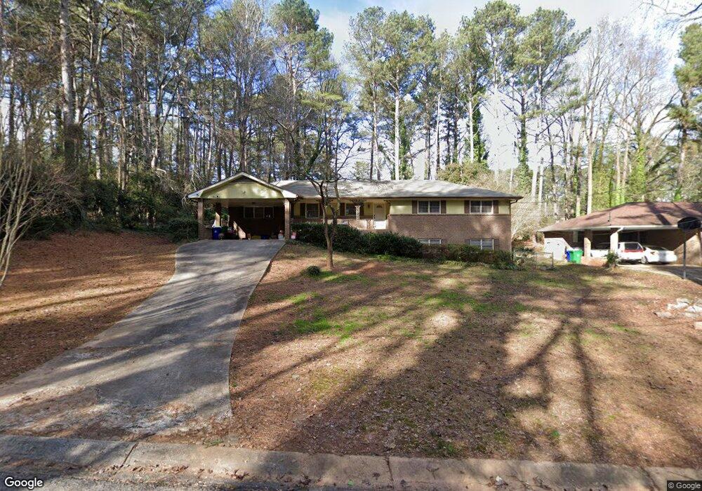
4562 Delanie Ct Stone Mountain, GA 30083
Estimated Value: $251,270 - $327,000
3
Beds
2
Baths
1,845
Sq Ft
$153/Sq Ft
Est. Value
About This Home
This home is located at 4562 Delanie Ct, Stone Mountain, GA 30083 and is currently estimated at $282,568, approximately $153 per square foot. 4562 Delanie Ct is a home located in DeKalb County with nearby schools including Allgood Elementary School, Freedom Middle School, and Clarkston High School.
Ownership History
Date
Name
Owned For
Owner Type
Purchase Details
Closed on
Jul 30, 2010
Sold by
Matthews Richard A
Bought by
Thomas Ellen
Current Estimated Value
Home Financials for this Owner
Home Financials are based on the most recent Mortgage that was taken out on this home.
Original Mortgage
$127,645
Outstanding Balance
$88,062
Interest Rate
5.5%
Mortgage Type
FHA
Estimated Equity
$194,506
Purchase Details
Closed on
May 31, 2006
Sold by
Doherty Gayle M
Bought by
Matthews Richard A and Haygood David
Create a Home Valuation Report for This Property
The Home Valuation Report is an in-depth analysis detailing your home's value as well as a comparison with similar homes in the area
Home Values in the Area
Average Home Value in this Area
Purchase History
| Date | Buyer | Sale Price | Title Company |
|---|---|---|---|
| Thomas Ellen | $130,000 | -- | |
| Matthews Richard A | $100,000 | -- |
Source: Public Records
Mortgage History
| Date | Status | Borrower | Loan Amount |
|---|---|---|---|
| Open | Thomas Ellen | $127,645 |
Source: Public Records
Tax History Compared to Growth
Tax History
| Year | Tax Paid | Tax Assessment Tax Assessment Total Assessment is a certain percentage of the fair market value that is determined by local assessors to be the total taxable value of land and additions on the property. | Land | Improvement |
|---|---|---|---|---|
| 2025 | $2,690 | $105,120 | $16,000 | $89,120 |
| 2024 | $2,498 | $96,000 | $16,000 | $80,000 |
| 2023 | $2,498 | $106,560 | $16,000 | $90,560 |
| 2022 | $2,140 | $84,240 | $5,720 | $78,520 |
| 2021 | $1,631 | $62,200 | $5,720 | $56,480 |
| 2020 | $1,553 | $58,640 | $5,720 | $52,920 |
| 2019 | $1,627 | $62,040 | $5,720 | $56,320 |
| 2018 | $1,156 | $55,160 | $5,720 | $49,440 |
| 2017 | $1,282 | $46,280 | $5,720 | $40,560 |
| 2016 | $849 | $28,240 | $5,720 | $22,520 |
| 2014 | $684 | $20,920 | $5,680 | $15,240 |
Source: Public Records
Map
Nearby Homes
- 708 Delanie Way
- 573 Allgood Rd
- 534 Woodcrest Manor Dr
- 736 Valley Creek Dr
- 488 Barclay Ct
- 4428 Nantucket Cove
- 4595 Garden Hills Dr
- 4603 Ruby Rd
- 4584 Garden Hills Dr
- 811 Corundum Ct
- 550 S Rays Rd
- 550 S Rays (8 6 Acres) Rd
- 498 Prince of Wales
- 440 Sheppard Xing Ct
- 486 Prince of Wales
- 4616 Garden Hills Dr Unit 1
- 497 Prince of Wales
- 4238 Rue Saint Michel
- 539 Prince of Wales
- 4820 Banner Elk Dr
- 4570 Delanie Ct Unit 2
- 4449 Heavitree Ct
- 4441 Heavitree Ct
- 4554 Delanie Ct
- 4578 Delanie Ct
- 4457 Heavitree Ct
- 4433 Heavitree Ct
- 667 Delanie Way
- 2722 Delanie Ct
- 4465 Heavitree Ct
- 4586 Delanie Ct
- 4425 Heavitree Ct
- 4518 Allgood Springs Dr
- 685 Delanie Way
- 4526 Allgood Springs Dr
- 4473 Heavitree Ct
- 4536 Allgood Springs Dr
- 0 Heavitree Ct Unit 8216166
- 0 Heavitree Ct Unit 7071720
- 4596 Delanie Ct Unit 2