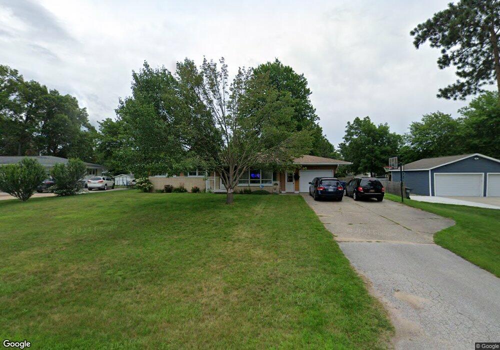
4562 Oriole St Muskegon, MI 49444
Estimated Value: $250,000 - $269,000
3
Beds
1
Bath
1,748
Sq Ft
$150/Sq Ft
Est. Value
About This Home
This home is located at 4562 Oriole St, Muskegon, MI 49444 and is currently estimated at $262,079, approximately $149 per square foot. 4562 Oriole St is a home located in Muskegon County with nearby schools including Fruitport High School, Edgewood Elementary Academy, and Dr. Martin Luther King Academy.
Ownership History
Date
Name
Owned For
Owner Type
Purchase Details
Closed on
Mar 20, 2003
Sold by
Fisher Richard D and Fisher Mary L
Bought by
Vanstelle Duane and Vanstelle Erin K
Current Estimated Value
Home Financials for this Owner
Home Financials are based on the most recent Mortgage that was taken out on this home.
Original Mortgage
$82,000
Outstanding Balance
$35,432
Interest Rate
5.95%
Mortgage Type
Unknown
Estimated Equity
$226,647
Create a Home Valuation Report for This Property
The Home Valuation Report is an in-depth analysis detailing your home's value as well as a comparison with similar homes in the area
Home Values in the Area
Average Home Value in this Area
Purchase History
| Date | Buyer | Sale Price | Title Company |
|---|---|---|---|
| Vanstelle Duane | $102,500 | Harbor Title |
Source: Public Records
Mortgage History
| Date | Status | Borrower | Loan Amount |
|---|---|---|---|
| Open | Vanstelle Duane | $82,000 | |
| Closed | Vanstelle Duane | $15,375 |
Source: Public Records
Tax History Compared to Growth
Tax History
| Year | Tax Paid | Tax Assessment Tax Assessment Total Assessment is a certain percentage of the fair market value that is determined by local assessors to be the total taxable value of land and additions on the property. | Land | Improvement |
|---|---|---|---|---|
| 2025 | $1,959 | $108,100 | $0 | $0 |
| 2024 | $1,394 | $99,000 | $0 | $0 |
| 2023 | $1,333 | $87,100 | $0 | $0 |
| 2022 | $1,725 | $78,000 | $0 | $0 |
| 2021 | $1,676 | $71,700 | $0 | $0 |
| 2020 | $1,659 | $65,800 | $0 | $0 |
| 2019 | $1,628 | $61,900 | $0 | $0 |
| 2018 | $1,590 | $58,400 | $0 | $0 |
| 2017 | $1,557 | $54,900 | $0 | $0 |
| 2016 | $946 | $49,800 | $0 | $0 |
| 2015 | -- | $48,200 | $0 | $0 |
| 2014 | -- | $50,600 | $0 | $0 |
| 2013 | -- | $46,400 | $0 | $0 |
Source: Public Records
Map
Nearby Homes
- 4563 Keener St
- 2171 Monte Ave
- 4441 S Sheridan Dr
- 5005 Airline Rd
- 2322 Cline Rd
- 4769 Harvey St
- 2355 Cress Creek Dr
- 4677 Harvey St
- 2509 August Ave
- V/L S Sheridan Dr
- 1404 E Ellis Rd
- 1454 Airport Rd
- 3835 Ellen St
- V/L 4535 Thompson Rd
- 4535 Thompson Rd
- 4060 Buck St
- 2025 E Sternberg Rd
- 4476 Cedar Ln Unit 54
- 1283 E Ellis Rd Unit 18
- 1283 E Ellis Rd Unit 20