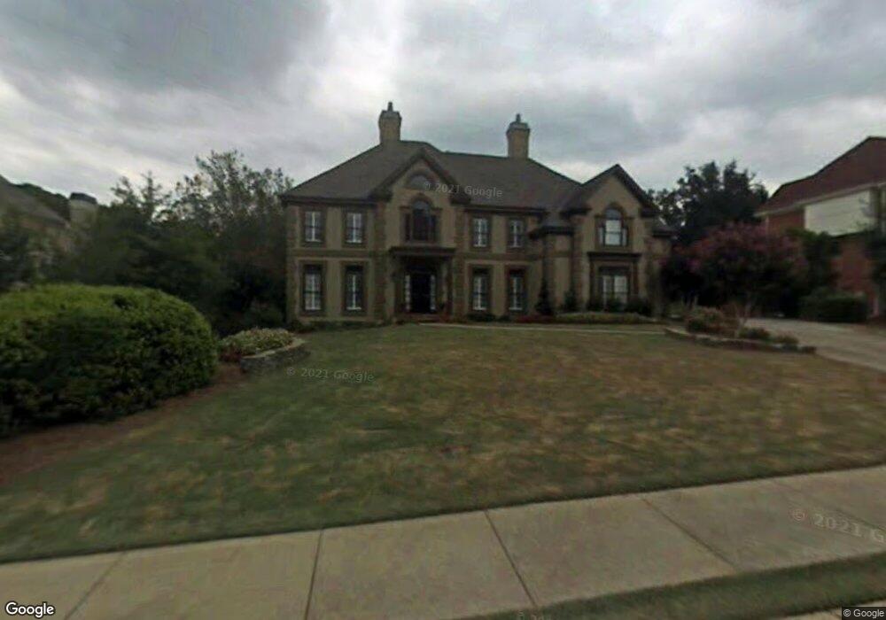
4565 Dairy Way Unit 7 Norcross, GA 30092
Estimated Value: $1,042,149 - $1,206,000
4
Beds
5
Baths
3,837
Sq Ft
$292/Sq Ft
Est. Value
About This Home
This home is located at 4565 Dairy Way Unit 7, Norcross, GA 30092 and is currently estimated at $1,121,537, approximately $292 per square foot. 4565 Dairy Way Unit 7 is a home located in Gwinnett County with nearby schools including Simpson Elementary School, Pinckneyville Middle School, and Norcross High School.
Ownership History
Date
Name
Owned For
Owner Type
Purchase Details
Closed on
Jul 1, 2005
Sold by
St John Saundra M
Bought by
St John Saundra M
Current Estimated Value
Home Financials for this Owner
Home Financials are based on the most recent Mortgage that was taken out on this home.
Original Mortgage
$359,650
Outstanding Balance
$184,503
Interest Rate
5.59%
Mortgage Type
New Conventional
Estimated Equity
$937,034
Purchase Details
Closed on
Jul 22, 2004
Sold by
Liu Chih Y and Liu Chen
Bought by
Krouskos Steve
Home Financials for this Owner
Home Financials are based on the most recent Mortgage that was taken out on this home.
Original Mortgage
$422,400
Interest Rate
4.75%
Mortgage Type
New Conventional
Create a Home Valuation Report for This Property
The Home Valuation Report is an in-depth analysis detailing your home's value as well as a comparison with similar homes in the area
Home Values in the Area
Average Home Value in this Area
Purchase History
| Date | Buyer | Sale Price | Title Company |
|---|---|---|---|
| St John Saundra M | $534,900 | -- | |
| St John Saundra M | $534,900 | -- | |
| Krouskos Steve | $528,000 | -- |
Source: Public Records
Mortgage History
| Date | Status | Borrower | Loan Amount |
|---|---|---|---|
| Open | St John Saundra M | $359,650 | |
| Previous Owner | Krouskos Steve | $422,400 |
Source: Public Records
Tax History
| Year | Tax Paid | Tax Assessment Tax Assessment Total Assessment is a certain percentage of the fair market value that is determined by local assessors to be the total taxable value of land and additions on the property. | Land | Improvement |
|---|---|---|---|---|
| 2025 | -- | $431,600 | $61,960 | $369,640 |
| 2024 | $11,689 | $409,800 | $71,200 | $338,600 |
| 2023 | $11,689 | $333,680 | $64,000 | $269,680 |
| 2022 | $0 | $264,840 | $49,840 | $215,000 |
| 2021 | $8,902 | $292,320 | $49,840 | $242,480 |
| 2020 | $8,609 | $292,320 | $49,840 | $242,480 |
| 2019 | $8,794 | $270,680 | $44,000 | $226,680 |
| 2018 | $8,315 | $247,040 | $36,000 | $211,040 |
| 2016 | $7,964 | $232,960 | $36,000 | $196,960 |
| 2015 | $8,059 | $232,960 | $36,000 | $196,960 |
| 2014 | $7,968 | $232,960 | $36,000 | $196,960 |
Source: Public Records
Map
Nearby Homes
- 0 Hawk Run Unit 7571401
- 0 Hawk Run
- 4410 River Trail Dr Unit 383
- 4406 River Trail Dr Unit 381
- 4406 River Trail Dr
- 4341 Hammerstone Ct
- 4291 River Bottom Dr
- 5970 Rachel Ridge Unit 2
- 5891 Ranger Ct Unit 2
- 0 Niblick Dr Unit 10678062
- 114 Hawkstone Way
- 9030 Riverbend Manor
- 6304 Broomsedge Trail
- 408 Hawkstone Way
- 9056 Riverbend Manor
- 905 Wentworth Ct
- 9062 Riverbend Manor
- 909 Wentworth Ct
- 1019 Sandy Lane Dr
- 0 Spyglass Bluff Unit 7666454
- 4575 Dairy Way Unit 14
- 4575 Dairy Way
- 4555 Dairy Way
- 4560 River Bottom Dr
- 4570 River Bottom Dr Unit 7
- 4550 River Bottom Dr
- 4585 Dairy Way
- 4564 Dairy Way
- 4554 Dairy Way
- 4545 Dairy Way Unit 7
- 4580 River Bottom Dr
- 4574 Dairy Way
- 4520 River Bottom Dr Unit 5
- 4544 Dairy Way Unit 18
- 4544 Dairy Way
- 4584 Dairy Way
- 4510 River Bottom Dr Unit 5
- 4561 River Bottom Dr
- 4549 Holstein Hill Dr
- 4559 Holstein Hill Dr
Your Personal Tour Guide
Ask me questions while you tour the home.