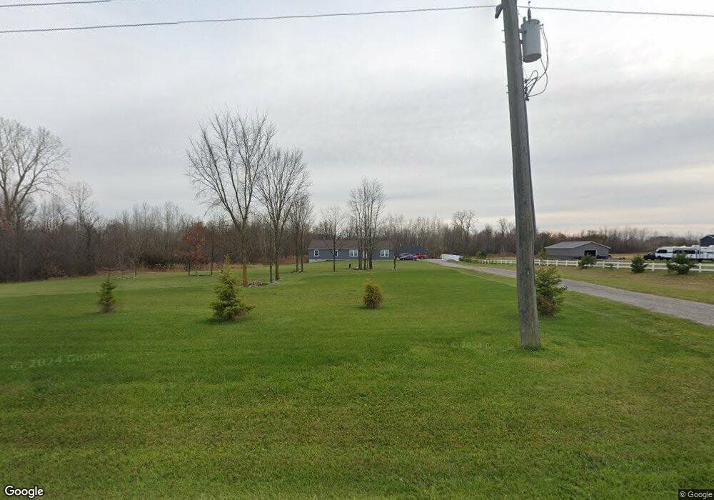
4565 Davis Rd Saint Clair, MI 48079
Estimated Value: $231,000 - $755,000
4
Beds
2
Baths
2,128
Sq Ft
$232/Sq Ft
Est. Value
About This Home
This home is located at 4565 Davis Rd, Saint Clair, MI 48079 and is currently estimated at $493,000, approximately $231 per square foot. 4565 Davis Rd is a home with nearby schools including Marysville High School and Blue Water SDA Elementary School.
Ownership History
Date
Name
Owned For
Owner Type
Purchase Details
Closed on
Nov 21, 2016
Sold by
Saddle Back Equestrian Club Llc
Bought by
Forbes Jason W
Current Estimated Value
Home Financials for this Owner
Home Financials are based on the most recent Mortgage that was taken out on this home.
Original Mortgage
$260,000
Interest Rate
3.37%
Mortgage Type
Construction
Purchase Details
Closed on
Jun 23, 2015
Sold by
Saddle Back Equestrian Club Llc
Bought by
Forbes Jason W
Purchase Details
Closed on
Aug 6, 2012
Sold by
Griffin Daniel S and Griffin Michelle M
Bought by
Saddle Back Equestrian Club Llc
Create a Home Valuation Report for This Property
The Home Valuation Report is an in-depth analysis detailing your home's value as well as a comparison with similar homes in the area
Home Values in the Area
Average Home Value in this Area
Purchase History
| Date | Buyer | Sale Price | Title Company |
|---|---|---|---|
| Forbes Jason W | $499,000 | Cfc Title Services Inc | |
| Forbes Jason W | -- | Attorney | |
| Saddle Back Equestrian Club Llc | -- | None Available |
Source: Public Records
Mortgage History
| Date | Status | Borrower | Loan Amount |
|---|---|---|---|
| Previous Owner | Forbes Jason W | $260,000 |
Source: Public Records
Tax History
| Year | Tax Paid | Tax Assessment Tax Assessment Total Assessment is a certain percentage of the fair market value that is determined by local assessors to be the total taxable value of land and additions on the property. | Land | Improvement |
|---|---|---|---|---|
| 2025 | $1,788 | $257,300 | $0 | $0 |
| 2024 | $1,734 | $257,000 | $0 | $0 |
| 2023 | $1,652 | $191,300 | $0 | $0 |
| 2022 | $4,224 | $183,800 | $0 | $0 |
| 2020 | $2,247 | $161,900 | $161,900 | $0 |
| 2019 | $2,207 | $31,000 | $0 | $0 |
| 2018 | $3,497 | $31,000 | $0 | $0 |
| 2017 | $1,441 | $31,000 | $0 | $0 |
| 2016 | $351 | $31,000 | $0 | $0 |
| 2015 | -- | $34,700 | $34,700 | $0 |
| 2014 | -- | $35,600 | $35,600 | $0 |
| 2013 | -- | $30,100 | $0 | $0 |
Source: Public Records
Map
Nearby Homes
- 1022 S Allen Rd
- 4170 Neuman Rd
- 2516 River Rd
- 2500 River Rd Unit 55
- 50 Mack Ave Unit 127
- 4085 Blue River Dr
- 955 Covington Ct
- 2075 Pauls Ct
- 1581 Golden Gate Ct
- 50 Golfside Dr
- 825 Joanwood Dr
- 1931 Pug Rd
- 765 S Bartlett Rd
- 2118 N River Rd
- 1715 River Rd 39 Rd Unit 39
- 1715 River Rd Unit 22
- 1715 River Rd Unit 77
- 1715 River Rd Unit 41
- 9 Golfside Dr
- 1674 Georgia Ave
- 4595 Davis Rd
- 1136 S Range Rd
- 1139 S Range Rd
- 0 Range Unit 4362114
- 0 Range Unit 4512609
- 0 Range Unit G31146368
- 0 Range Unit G31186120
- 0 Range Unit G31228059
- 1188 S Range Rd
- S Range Rd
- 1230 S Range Rd
- V/L S Range Rd
- 0 Davis Unit 28111092
- 0 Davis Unit 215094762
- 0 Davis Unit 5632915
- 0 Davis Unit 58050155004
- 0 Davis Unit 50155004
- V/L Davis Rd
- 0 Davis
- 0 Davis Unit G31139288
Your Personal Tour Guide
Ask me questions while you tour the home.