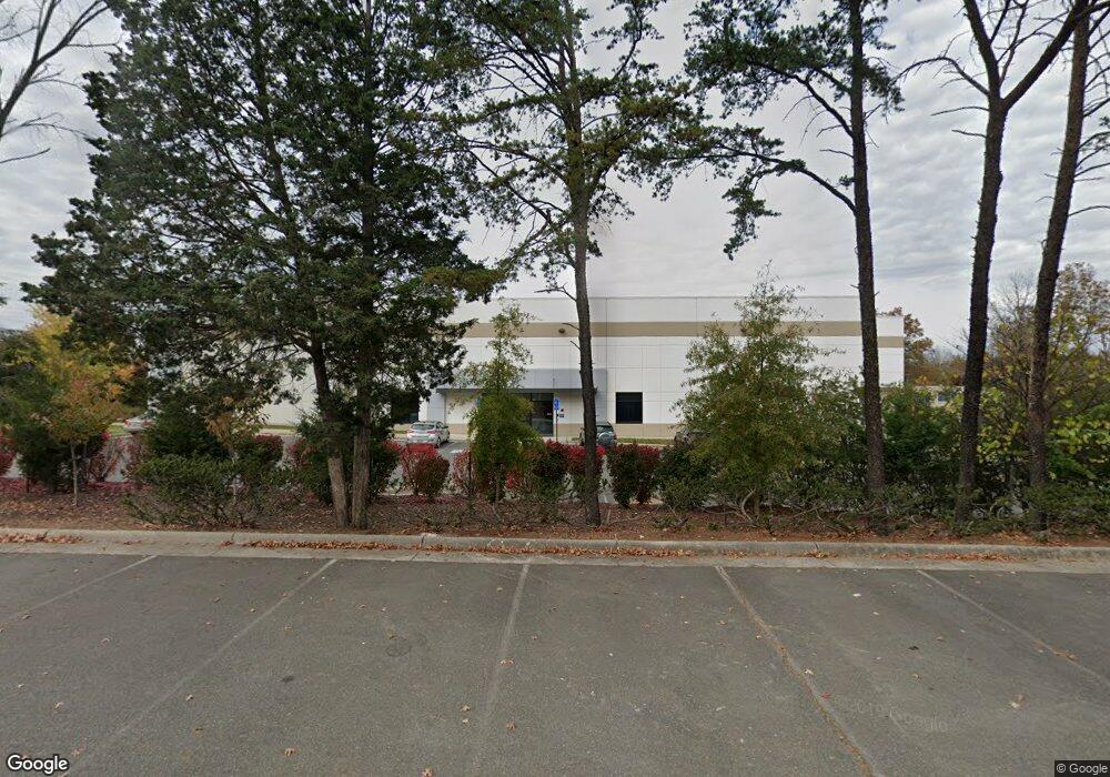
45650 Terminal Dr Sterling, VA 20166
Estimated Value: $13,699,195
--
Bed
--
Bath
57,199
Sq Ft
$240/Sq Ft
Est. Value
About This Home
This home is located at 45650 Terminal Dr, Sterling, VA 20166 and is currently priced at $13,699,195, approximately $239 per square foot. 45650 Terminal Dr is a home located in Loudoun County with nearby schools including Forest Grove Elementary School, Sterling Middle School, and Park View High School.
Ownership History
Date
Name
Owned For
Owner Type
Purchase Details
Closed on
Sep 4, 2025
Sold by
Epl Holdings Llc
Bought by
Nm Epla Llc
Current Estimated Value
Purchase Details
Closed on
Mar 23, 2015
Sold by
Epl Holdings Llc
Bought by
Loudoun County Sanitation Auth
Purchase Details
Closed on
Oct 3, 2012
Sold by
Barbee H Randolph
Bought by
Epl Holdings Llc
Create a Home Valuation Report for This Property
The Home Valuation Report is an in-depth analysis detailing your home's value as well as a comparison with similar homes in the area
Home Values in the Area
Average Home Value in this Area
Purchase History
| Date | Buyer | Sale Price | Title Company |
|---|---|---|---|
| Nm Epla Llc | $13,651,381 | None Listed On Document | |
| Loudoun County Sanitation Auth | -- | -- | |
| Epl Holdings Llc | $850,000 | -- |
Source: Public Records
Tax History Compared to Growth
Tax History
| Year | Tax Paid | Tax Assessment Tax Assessment Total Assessment is a certain percentage of the fair market value that is determined by local assessors to be the total taxable value of land and additions on the property. | Land | Improvement |
|---|---|---|---|---|
| 2025 | $69,189 | $7,479,880 | $1,476,200 | $6,003,680 |
| 2024 | $71,537 | $7,118,100 | $1,476,200 | $5,641,900 |
| 2023 | $73,672 | $7,118,100 | $1,353,100 | $5,765,000 |
| 2022 | $61,089 | $6,863,890 | $1,230,100 | $5,633,790 |
| 2021 | $60,033 | $6,125,830 | $1,230,100 | $4,895,730 |
| 2020 | $60,520 | $5,847,370 | $1,230,100 | $4,617,270 |
| 2019 | $60,469 | $5,786,520 | $1,230,100 | $4,556,420 |
| 2018 | $62,289 | $5,740,920 | $1,107,100 | $4,633,820 |
| 2017 | $55,274 | $4,913,260 | $968,700 | $3,944,560 |
| 2016 | $56,269 | $4,914,350 | $0 | $0 |
| 2015 | $53,361 | $3,871,080 | $0 | $3,871,080 |
| 2014 | $9,058 | $0 | $0 | $0 |
Source: Public Records
Map
Nearby Homes
- 309 Williamsburg Rd
- 22855 Chestnut Oak Terrace
- 1043 Margate Ct Unit 1043A
- 1049A Margate Ct
- 1050 Ramsgate Ct Unit C
- 314 E Staunton Ave
- 1048A Margate Ct
- 1002 S Buckingham Rd
- 920 Windsor Ct
- 1048A Brixton Ct
- 1114 S Dickenson Ave
- 45909 Old ox Rd
- 1044 Brixton Ct Unit B
- 1028A Brixton Ct
- 23004 Fontwell Square Unit 508
- 400 E Poplar Rd
- 22976 Fontwell Square
- 100 W Poplar Rd
- 801 S Concord Ct
- 1030 Salisbury Ct
- 45610 Terminal Dr
- 45662 Terminal Dr
- 45669 Terminal Dr
- 45645 Willow Pond Plaza
- 45645 Willow Pond Plaza Unit 3
- 45635 Willowpond Plaza
- 45600 Terminal Dr
- 45665 Willowpond Plaza
- 45625 Willowpond Plaza
- 45640 Willow Pond Plaza
- 45640 Willow Pond Plaza Unit ENTIRE 2ND FLOOR
- 45615 Willow Pond Plaza
- 45604 Terminal Dr
- 45580 Terminal Dr
- 22714 Glenn Dr
- 22675 Glenn Dr
- 22810 International Dr
- 22821 Silverbrook Center Dr Unit 110
- 22821 Silverbrook Center Dr
- 22821 Silverbrook Center Dr Unit 150