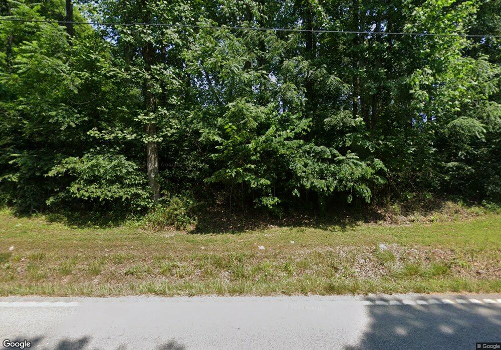
4566 State Route 69 Hawesville, KY 42348
Estimated Value: $173,000
3
Beds
2
Baths
1,348
Sq Ft
$128/Sq Ft
Est. Value
About This Home
This home is located at 4566 State Route 69, Hawesville, KY 42348 and is currently estimated at $173,000, approximately $128 per square foot. 4566 State Route 69 is a home located in Hancock County with nearby schools including Hancock County Middle School and Hancock County High School.
Ownership History
Date
Name
Owned For
Owner Type
Purchase Details
Closed on
Dec 31, 2019
Sold by
Ernadine Wilkerson
Bought by
Hylton Stanley E
Current Estimated Value
Home Financials for this Owner
Home Financials are based on the most recent Mortgage that was taken out on this home.
Original Mortgage
$90,000
Outstanding Balance
$61,547
Interest Rate
3.6%
Mortgage Type
Construction
Estimated Equity
$111,453
Purchase Details
Closed on
Dec 1, 1994
Bought by
Wilkerson Paul F and Wilkerson Bernadine M
Create a Home Valuation Report for This Property
The Home Valuation Report is an in-depth analysis detailing your home's value as well as a comparison with similar homes in the area
Home Values in the Area
Average Home Value in this Area
Purchase History
| Date | Buyer | Sale Price | Title Company |
|---|---|---|---|
| Hylton Stanley E | $83,500 | Attorney Only | |
| Wilkerson Paul F | $34,695 | -- |
Source: Public Records
Mortgage History
| Date | Status | Borrower | Loan Amount |
|---|---|---|---|
| Open | Hylton Stanley E | $90,000 |
Source: Public Records
Tax History Compared to Growth
Tax History
| Year | Tax Paid | Tax Assessment Tax Assessment Total Assessment is a certain percentage of the fair market value that is determined by local assessors to be the total taxable value of land and additions on the property. | Land | Improvement |
|---|---|---|---|---|
| 2024 | $481 | $46,324 | $0 | $0 |
| 2023 | $487 | $46,342 | $0 | $0 |
| 2022 | $483 | $46,300 | $0 | $0 |
| 2021 | $485 | $46,300 | $0 | $0 |
| 2020 | $468 | $46,300 | $0 | $0 |
| 2019 | $366 | $36,200 | $0 | $0 |
| 2018 | $352 | $36,200 | $0 | $0 |
| 2017 | $354 | $36,200 | $0 | $0 |
| 2016 | $340 | $36,200 | $0 | $0 |
| 2015 | $325 | $34,700 | $4,300 | $30,400 |
| 2014 | $325 | $36,200 | $4,300 | $31,900 |
| 2012 | $325 | $36,200 | $4,300 | $31,900 |
Source: Public Records
Map
Nearby Homes
- 75 Baker Ln
- Lot 2 Baker Ln
- Lot 1 Baker Ln
- 2104 Tick Ridge Rd
- 2740 Middle Knottsville Rd
- 0 Goering Rd Unit LotWP002 24823606
- 0 Goering Rd Unit LotWP001 24823605
- 2165 Squirrel Tail Hollow Rd
- 2616 Kentucky 1389
- 235 Clubhouse Dr
- 105 Riverview Dr
- 150 Powers St
- 1045 Hawes Blvd
- 150 Judith Lynn St
- 735 Park Rd
- 0 Tom Bolin Rd
- 315 River St
- 305 Harrison St
- 115 Washington St
- Lot 2 Ridgetop Ln
- 4300 State Route 69
- 4584 State Route 69
- 4322 State Route 69
- 191 Cedar Hill Ln
- 4664 State Route 69
- 4220 State Route 69
- 225 Baker Ln
- 4655 State Route 69
- 95 Baker Ln
- 226 Cedar Hill Ln
- 305 Cedar Hill Ln
- 275 Baker Ln
- 4799 State Route 69
- 4778 State Route 69
- 240 Rice Ln
- 4938 State Route 69
- 145 Coal Bank Hollow Rd
- 3975 State Route 69
- 4936 State Route 69
- 155 Rice Ln
