4567 Whitepath Rd Ellijay, GA 30540
Estimated Value: $932,000 - $1,258,000
--
Bed
5
Baths
5,851
Sq Ft
$186/Sq Ft
Est. Value
About This Home
This home is located at 4567 Whitepath Rd, Ellijay, GA 30540 and is currently estimated at $1,087,241, approximately $185 per square foot. 4567 Whitepath Rd is a home located in Gilmer County with nearby schools including Ellijay Elementary School, Clear Creek Elementary School, and Gilmer Middle School.
Ownership History
Date
Name
Owned For
Owner Type
Purchase Details
Closed on
Jan 23, 2025
Sold by
Patricia Stells Living Trust
Bought by
Stells Deanna and Stells William Roy
Current Estimated Value
Purchase Details
Closed on
Jan 20, 2025
Sold by
Stells Patricia C
Bought by
Stells Patricia Trust and Stells William Roy Tr
Purchase Details
Closed on
Jul 12, 2006
Sold by
Stellsrevocable Trust
Bought by
Stells Patricia C
Purchase Details
Closed on
Aug 10, 2000
Sold by
Stells Leon and Stells Patricia
Bought by
Stellsrevocable Trust
Create a Home Valuation Report for This Property
The Home Valuation Report is an in-depth analysis detailing your home's value as well as a comparison with similar homes in the area
Home Values in the Area
Average Home Value in this Area
Purchase History
| Date | Buyer | Sale Price | Title Company |
|---|---|---|---|
| Stells Deanna | -- | -- | |
| Stells Patricia Trust | -- | -- | |
| Stells Patricia C | -- | -- | |
| Stellsrevocable Trust | -- | -- |
Source: Public Records
Tax History Compared to Growth
Tax History
| Year | Tax Paid | Tax Assessment Tax Assessment Total Assessment is a certain percentage of the fair market value that is determined by local assessors to be the total taxable value of land and additions on the property. | Land | Improvement |
|---|---|---|---|---|
| 2025 | $664 | $426,376 | $125,680 | $300,696 |
| 2024 | $664 | $418,812 | $120,920 | $297,892 |
| 2023 | $703 | $410,012 | $112,120 | $297,892 |
| 2022 | $786 | $353,132 | $97,720 | $255,412 |
| 2021 | $878 | $310,772 | $91,920 | $218,852 |
| 2020 | $982 | $291,328 | $91,240 | $200,088 |
| 2019 | $1,006 | $291,328 | $91,240 | $200,088 |
| 2018 | $999 | $232,260 | $54,800 | $177,460 |
| 2017 | $1,056 | $186,780 | $40,400 | $146,380 |
| 2016 | $1,055 | $190,152 | $40,400 | $149,752 |
| 2015 | $831 | $170,640 | $58,560 | $112,080 |
| 2014 | $855 | $169,880 | $58,560 | $111,320 |
| 2013 | -- | $174,720 | $58,560 | $116,160 |
Source: Public Records
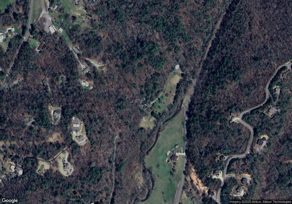
Map
Nearby Homes
- 1204 Settler's Ridge Rd
- 55 Mount Pleasant Dr
- 804 Settler's Ridge Rd
- 170 Dustin Dr N
- 8393 Boardtown Rd
- 99 Dustin Dr S
- 43 Dustin Dr
- 865 Bryant Farm Ln
- 27 Riverview Ln
- 0 Bryant Farm Ln Unit 10489816
- Lot 81 Lillie Dr
- 434 Whispering Pine Ln
- 2587 Goose Island Rd
- 641 Bryant Farm Ln
- 598 Whispering Pine Ln
- 571 Jones Creek Rd
- 167 Whispering Pine Ln
- 3349 Whitepath Rd
- 00 Double Knob Rd
- LOT 20 Big Ben Rd
- 996 Settler's Ridge Rd
- 145 Mount Pleasant Dr
- LT507 Cherry Lake
- 143 Mount Pleasant Dr
- 65 Mount Pleasant Dr
- 4423 Whitepath Rd
- LT 35 Settler's Ridge Rd
- LT 29 Settler's Ridge Rd
- LT 17 Settler's Ridge Rd
- LT 18 Settler's Ridge Rd
- 0 Settler's Ridge Rd Unit 20096502
- 0 Settler's Ridge Rd Unit 20096501
- 0 Settler's Ridge Rd Unit 20096499
- 0 Settler's Ridge Rd Unit 20096496
- 0 Settler's Ridge Rd Unit 20096489
- 0 Settler's Ridge Rd Unit 20096495
- 0 Settler's Ridge Rd Unit 20096493
- 0 Settler's Ridge Rd Unit 20096486
- 0 Settler's Ridge Rd Unit LT 46 9016234
- 0 Settler's Ridge Rd Unit LT 35 9016230