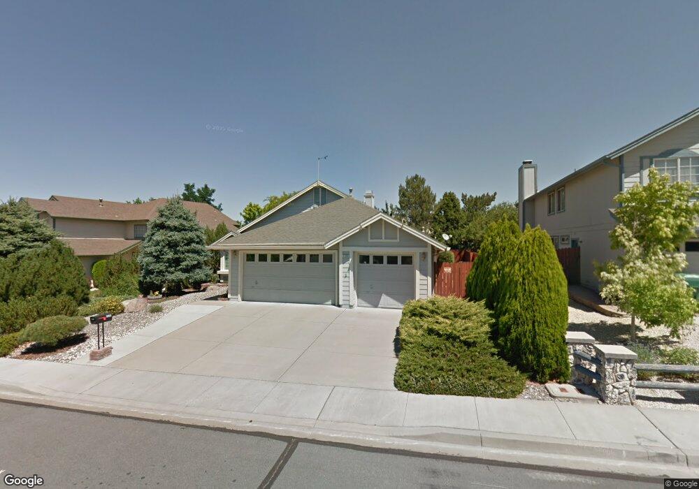
4568 Whitney Cir Sparks, NV 89436
Los Altos Parkway NeighborhoodEstimated Value: $519,785 - $572,000
3
Beds
2
Baths
1,692
Sq Ft
$319/Sq Ft
Est. Value
About This Home
This home is located at 4568 Whitney Cir, Sparks, NV 89436 and is currently estimated at $538,946, approximately $318 per square foot. 4568 Whitney Cir is a home located in Washoe County with nearby schools including Bud Beasley Elementary School, Edward C Reed High School, and Excel Christian School.
Ownership History
Date
Name
Owned For
Owner Type
Purchase Details
Closed on
Dec 16, 2019
Sold by
Brown James and Brown Nola
Bought by
Brown James T and Brown Nola T
Current Estimated Value
Purchase Details
Closed on
Oct 23, 1996
Sold by
Brown Nola
Bought by
Brown James Tanner
Home Financials for this Owner
Home Financials are based on the most recent Mortgage that was taken out on this home.
Original Mortgage
$100,000
Outstanding Balance
$7,144
Interest Rate
6.25%
Estimated Equity
$531,802
Purchase Details
Closed on
Aug 30, 1996
Sold by
Galdieri Lawrence G and Galdieri Catherine J
Bought by
Brown James and Brown Nola
Home Financials for this Owner
Home Financials are based on the most recent Mortgage that was taken out on this home.
Original Mortgage
$100,000
Outstanding Balance
$7,144
Interest Rate
6.25%
Estimated Equity
$531,802
Create a Home Valuation Report for This Property
The Home Valuation Report is an in-depth analysis detailing your home's value as well as a comparison with similar homes in the area
Home Values in the Area
Average Home Value in this Area
Purchase History
| Date | Buyer | Sale Price | Title Company |
|---|---|---|---|
| Brown James T | -- | None Available | |
| Brown James Tanner | -- | Stewart Title | |
| Brown James | $162,000 | Stewart Title |
Source: Public Records
Mortgage History
| Date | Status | Borrower | Loan Amount |
|---|---|---|---|
| Open | Brown James | $100,000 |
Source: Public Records
Tax History Compared to Growth
Tax History
| Year | Tax Paid | Tax Assessment Tax Assessment Total Assessment is a certain percentage of the fair market value that is determined by local assessors to be the total taxable value of land and additions on the property. | Land | Improvement |
|---|---|---|---|---|
| 2025 | $2,327 | $93,140 | $40,432 | $52,708 |
| 2024 | $2,260 | $91,598 | $38,071 | $53,527 |
| 2023 | $1,641 | $87,815 | $36,775 | $51,041 |
| 2022 | $2,194 | $74,037 | $31,189 | $42,848 |
| 2021 | $2,130 | $65,602 | $22,643 | $42,959 |
| 2020 | $1,467 | $65,950 | $22,610 | $43,340 |
| 2019 | $1,904 | $65,305 | $23,142 | $42,163 |
| 2018 | $1,849 | $58,404 | $16,891 | $41,513 |
| 2017 | $1,796 | $57,446 | $15,628 | $41,818 |
| 2016 | $1,748 | $56,715 | $13,799 | $42,916 |
| 2015 | $876 | $55,400 | $12,236 | $43,164 |
| 2014 | $1,695 | $52,242 | $10,341 | $41,901 |
| 2013 | -- | $47,517 | $8,479 | $39,038 |
Source: Public Records
Map
Nearby Homes
- 4515 Whitney Cir
- 1357 Silver View Cir
- 4788 Ravello Dr
- 4748 Pradera St
- 3988 Ella Jayne Ct Unit Lot 6
- 1484 Serendipity Ct
- 1557 Satellite Dr
- 1475 Golddust Dr
- 1215 Ebling Dr
- 4750 Desert Song Ct
- 4393 Acobat Ct
- 4675 Firtree Ln
- 4950 San Diego Ct
- 1550 Istrice Rd
- 519 N Sand Crane Cir
- 1560 Freeman Way
- 1031 Vintage Hills Pkwy
- 510 S Sand Crane Cir
- 4794 Sage Thrasher Way
- 3602 Oakridge Dr
- 4548 Whitney Cir
- 4578 Whitney Cir
- 4518 Trenton Ct
- 4524 Trenton Ct
- 4588 Whitney Cir
- 4528 Whitney Cir
- 4514 Trenton Ct
- 4565 Whitney Cir
- 4598 Whitney Cir
- 4585 Whitney Cir
- 4555 Whitney Cir
- 4545 Whitney Cir Unit 1
- 4344 Whitney Cir
- 4510 Trenton Ct Unit 1
- 4535 Whitney Cir
- 4595 Whitney Cir
- 4569 Pennant Ct Unit 1
- 4488 Whitney Cir
- 4525 Whitney Cir
- 4354 Whitney Cir