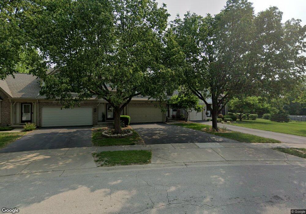
4569 Opal Dr Hoffman Estates, IL 60192
South Ridge NeighborhoodEstimated Value: $321,169 - $365,000
3
Beds
3
Baths
1,271
Sq Ft
$268/Sq Ft
Est. Value
About This Home
This home is located at 4569 Opal Dr, Hoffman Estates, IL 60192 and is currently estimated at $340,792, approximately $268 per square foot. 4569 Opal Dr is a home located in Cook County with nearby schools including Thomas Jefferson Elementary School, Frank C. Whiteley Elementary School, and William Fremd High School.
Ownership History
Date
Name
Owned For
Owner Type
Purchase Details
Closed on
Sep 20, 2006
Sold by
Murakami Koichi and Murakami Yoko
Bought by
Bokemeier Brigitte
Current Estimated Value
Home Financials for this Owner
Home Financials are based on the most recent Mortgage that was taken out on this home.
Original Mortgage
$204,800
Interest Rate
6.27%
Mortgage Type
Purchase Money Mortgage
Purchase Details
Closed on
Oct 18, 1994
Sold by
Valdez Danielle K and Baumgartner Danielle K
Bought by
Murakami Koichi and Murakami Yoko
Create a Home Valuation Report for This Property
The Home Valuation Report is an in-depth analysis detailing your home's value as well as a comparison with similar homes in the area
Home Values in the Area
Average Home Value in this Area
Purchase History
| Date | Buyer | Sale Price | Title Company |
|---|---|---|---|
| Bokemeier Brigitte | $256,000 | Republic Title Company | |
| Murakami Koichi | $167,000 | Intercounty Title |
Source: Public Records
Mortgage History
| Date | Status | Borrower | Loan Amount |
|---|---|---|---|
| Previous Owner | Bokemeier Brigitte | $204,800 |
Source: Public Records
Tax History
| Year | Tax Paid | Tax Assessment Tax Assessment Total Assessment is a certain percentage of the fair market value that is determined by local assessors to be the total taxable value of land and additions on the property. | Land | Improvement |
|---|---|---|---|---|
| 2025 | $6,034 | $31,000 | $6,104 | $24,896 |
| 2024 | $6,034 | $22,998 | $4,998 | $18,000 |
| 2023 | $5,801 | $22,998 | $4,998 | $18,000 |
| 2022 | $5,801 | $22,998 | $4,998 | $18,000 |
| 2021 | $6,258 | $22,018 | $2,384 | $19,634 |
| 2020 | $6,195 | $22,018 | $2,384 | $19,634 |
| 2019 | $6,132 | $24,411 | $2,384 | $22,027 |
| 2018 | $5,201 | $19,851 | $2,193 | $17,658 |
| 2017 | $5,122 | $19,851 | $2,193 | $17,658 |
| 2016 | $5,008 | $19,851 | $2,193 | $17,658 |
| 2015 | $5,952 | $21,775 | $2,002 | $19,773 |
| 2014 | $5,857 | $21,775 | $2,002 | $19,773 |
| 2013 | $5,690 | $21,775 | $2,002 | $19,773 |
Source: Public Records
Map
Nearby Homes
- 1210 Downing Dr
- 4620 Olmstead Dr
- 1404 W Sapphire Dr
- 4480 Thornbark Dr
- 1426 W Sapphire Dr
- 1281 Old Timber Ct
- 4475 Olmstead Dr
- 4444 Westbridge Ct
- 4791 Amber Cir
- 4485 Bayside Cir
- 1690 Cape Breton Ct
- 940 Freeman Rd
- 4175 Victoria Dr
- 5083 Chambers Dr
- 5195 Castaway Ln
- 10 Carnoustie Ln
- 3881 Bordeaux Dr
- 775 Summer Isle Ln
- 825 Concord Ln
- 61 E Rd
- 4571 Opal Dr
- 4567 Opal Dr
- 4573 Opal Dr
- 4606 Mumford Dr
- 4604 Mumford Dr
- 4608 Mumford Dr Unit 1
- 4602 Mumford Dr
- 4610 Mumford Dr
- 4600 Mumford Dr
- 4589 Topaz Dr
- 4591 Topaz Dr
- 4570 Opal Dr
- 4593 Topaz Dr
- 4572 Opal Dr
- 4506 Sundance Ct
- 4574 Opal Dr
- 4595 Topaz Dr
- 4576 Opal Dr Unit 1
- 4598 Mumford Dr
- 4500 Sundance Ct
Your Personal Tour Guide
Ask me questions while you tour the home.