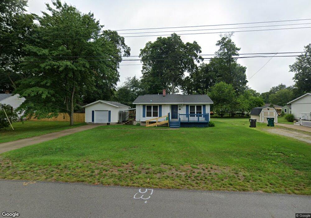
4569 Poulin St Norton Shores, MI 49441
Estimated Value: $198,000 - $241,000
3
Beds
1
Bath
844
Sq Ft
$256/Sq Ft
Est. Value
About This Home
This home is located at 4569 Poulin St, Norton Shores, MI 49441 and is currently estimated at $216,299, approximately $256 per square foot. 4569 Poulin St is a home located in Muskegon County with nearby schools including Mona Shores High School, Edgewood Elementary Academy, and Dr. Martin Luther King Academy.
Ownership History
Date
Name
Owned For
Owner Type
Purchase Details
Closed on
Oct 19, 2022
Sold by
Juarez Francisco M and Juarez Yolanda
Bought by
Juarez Francisco M and Juarez Yolanda
Current Estimated Value
Purchase Details
Closed on
Apr 27, 2010
Sold by
Harker Paul R and Harker Steven F
Bought by
Juarez Francisco M and Juarez Yolanda
Home Financials for this Owner
Home Financials are based on the most recent Mortgage that was taken out on this home.
Original Mortgage
$60,000
Interest Rate
5.02%
Mortgage Type
New Conventional
Purchase Details
Closed on
Jun 22, 2004
Sold by
Harker Joan M
Bought by
Harker Paul R and Harker Steven F
Create a Home Valuation Report for This Property
The Home Valuation Report is an in-depth analysis detailing your home's value as well as a comparison with similar homes in the area
Home Values in the Area
Average Home Value in this Area
Purchase History
| Date | Buyer | Sale Price | Title Company |
|---|---|---|---|
| Juarez Francisco M | -- | -- | |
| Juarez Francisco M | $75,500 | Safe Title Inc | |
| Harker Paul R | -- | -- |
Source: Public Records
Mortgage History
| Date | Status | Borrower | Loan Amount |
|---|---|---|---|
| Previous Owner | Juarez Francisco M | $60,000 |
Source: Public Records
Tax History Compared to Growth
Tax History
| Year | Tax Paid | Tax Assessment Tax Assessment Total Assessment is a certain percentage of the fair market value that is determined by local assessors to be the total taxable value of land and additions on the property. | Land | Improvement |
|---|---|---|---|---|
| 2025 | $1,855 | $88,200 | $0 | $0 |
| 2024 | $1,455 | $80,300 | $0 | $0 |
| 2023 | $1,389 | $71,500 | $0 | $0 |
| 2022 | $1,693 | $60,700 | $0 | $0 |
| 2021 | $1,645 | $55,300 | $0 | $0 |
| 2020 | $1,627 | $51,400 | $0 | $0 |
| 2019 | $1,597 | $46,400 | $0 | $0 |
| 2018 | $1,560 | $44,200 | $0 | $0 |
| 2017 | $1,523 | $44,000 | $0 | $0 |
| 2016 | $1,180 | $41,100 | $0 | $0 |
| 2015 | -- | $38,400 | $0 | $0 |
| 2014 | $1,415 | $38,600 | $0 | $0 |
| 2013 | -- | $37,600 | $0 | $0 |
Source: Public Records
Map
Nearby Homes
- 4535 Thompson Rd
- V/L 4535 Thompson Rd
- 4677 Harvey St
- 4476 Cedar Ln Unit 54
- 4468 Spruce Ct
- 4769 Harvey St
- 1065 Wilson Ct
- 1067 Aspen Dr
- 1454 Airport Rd
- 1130 Englewood Ave
- 1404 E Ellis Rd
- 1068 Englewood Ave
- 4060 Buck St
- 4638 Lauren Dr
- 945 Petrie Ave
- 1201 Shettler Rd
- 1283 E Ellis Rd Unit 18
- 1283 E Ellis Rd Unit 20
- 1283 E Ellis Rd Unit 19
- 1283 E Ellis Rd Unit 21
- 4555 Poulin St
- 4583 Poulin St
- 4554 Marshall Rd
- 4572 Marshall Rd
- 4543 Poulin St
- 4542 Marshall Rd
- 4531 Poulin St
- 4646 Marshall Rd
- 4524 Marshall Rd
- 4536 Poulin St
- 1302 E Hile Rd
- 4557 Marshall Rd
- 4545 Marshall Rd
- 4517 Poulin St
- 4510 Marshall Rd
- 4522 Poulin St
- 4507 Poulin St
- 4521 Marshall Rd
- 4510 Poulin St
- 1375 E Hile Rd