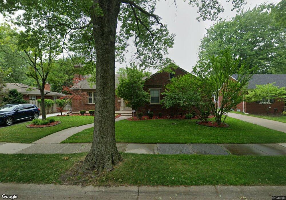
457 Bournemouth Cir Grosse Pointe Farms, MI 48236
Estimated Value: $402,000 - $467,703
--
Bed
3
Baths
1,852
Sq Ft
$235/Sq Ft
Est. Value
About This Home
This home is located at 457 Bournemouth Cir, Grosse Pointe Farms, MI 48236 and is currently estimated at $434,676, approximately $234 per square foot. 457 Bournemouth Cir is a home located in Wayne County with nearby schools including John Monteith Elementary School, Brownell Middle School, and Grosse Pointe North High School.
Ownership History
Date
Name
Owned For
Owner Type
Purchase Details
Closed on
Mar 14, 2007
Sold by
Wachovia Bank Na
Bought by
Williams Rubin C
Current Estimated Value
Purchase Details
Closed on
Nov 23, 2005
Sold by
Arthur Stephen E and Arthur Emma J
Bought by
Wachovia Bank Na and Asset Backed Pass Through Certificates S
Purchase Details
Closed on
Sep 29, 2004
Sold by
Rhcs 457 Family L
Bought by
Arthur Stephen E
Purchase Details
Closed on
Jan 5, 2004
Sold by
Brabb Robert S and Brabb Heidi S
Bought by
The Rhcs 457 Family Lp
Create a Home Valuation Report for This Property
The Home Valuation Report is an in-depth analysis detailing your home's value as well as a comparison with similar homes in the area
Home Values in the Area
Average Home Value in this Area
Purchase History
| Date | Buyer | Sale Price | Title Company |
|---|---|---|---|
| Williams Rubin C | $225,750 | Rels Title | |
| Wachovia Bank Na | $354,921 | None Available | |
| Arthur Stephen E | $375,000 | Stewart Title | |
| The Rhcs 457 Family Lp | -- | -- |
Source: Public Records
Tax History Compared to Growth
Tax History
| Year | Tax Paid | Tax Assessment Tax Assessment Total Assessment is a certain percentage of the fair market value that is determined by local assessors to be the total taxable value of land and additions on the property. | Land | Improvement |
|---|---|---|---|---|
| 2025 | $3,482 | $243,300 | $0 | $0 |
| 2024 | $3,482 | $224,800 | $0 | $0 |
| 2023 | $3,317 | $209,000 | $0 | $0 |
| 2022 | $6,196 | $192,400 | $0 | $0 |
| 2021 | $5,853 | $176,800 | $0 | $0 |
| 2019 | $5,756 | $156,700 | $0 | $0 |
| 2018 | $2,946 | $148,100 | $0 | $0 |
| 2017 | $5,111 | $144,200 | $0 | $0 |
| 2016 | $5,357 | $141,600 | $0 | $0 |
| 2015 | $10,612 | $117,100 | $0 | $0 |
| 2013 | $10,280 | $102,800 | $0 | $0 |
| 2012 | $2,733 | $102,800 | $32,000 | $70,800 |
Source: Public Records
Map
Nearby Homes
- 486 Bournemouth Rd
- 410 Roland Ct
- 463 Colonial Ct
- 450 Roland Rd
- 1597 Newcastle Rd
- 419 Maison Rd
- 22200 Moross Rd
- 5228 Hillcrest St
- 19299 Raymond St
- 1764 Prestwick Rd
- 19242 Eastborne St
- 19226 Eastborne St
- 18721 Chandler Park Dr
- 5056 Lafontaine St
- 5522 Ashley St
- 21602 Newcastle Rd
- 432 Calvin Ave
- 5047 Anatole St
- 18929 Berden St
- 343 Beaupre Ave
- 463 Bournemouth Cir
- 477 Bournemouth Cir
- 475 Bournemouth Cir
- 479 Bournemouth Cir
- 453 Bournemouth Cir
- 473 Bournemouth Cir
- 481 Bournemouth Cir
- 469 Bournemouth Cir
- 454 Bournemouth Cir
- 465 Bournemouth Cir
- 471 Bournemouth Cir
- 450 Bournemouth Rd
- 486 Bournemouth Cir
- 448 Allard Ave
- 456 Bournemouth Cir
- 459 La Belle Rd
- 458 Bournemouth Cir
- 450 Allard Ave
- 462 Bournemouth Cir
- 480 Bournemouth Cir