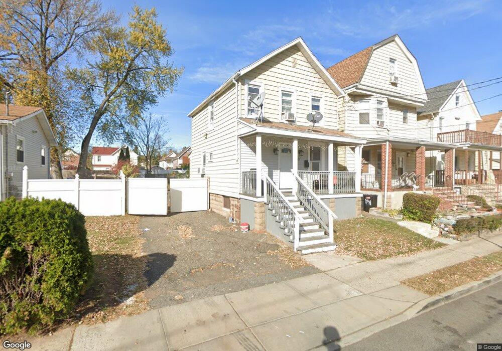
457 Burnside St Orange, NJ 07050
Estimated Value: $384,132 - $422,000
2
Beds
2
Baths
936
Sq Ft
$430/Sq Ft
Est. Value
About This Home
This home is located at 457 Burnside St, Orange, NJ 07050 and is currently estimated at $402,783, approximately $430 per square foot. 457 Burnside St is a home located in Essex County with nearby schools including East Orange Community Charter School.
Ownership History
Date
Name
Owned For
Owner Type
Purchase Details
Closed on
Mar 22, 2019
Sold by
Properties Solutions Grp
Bought by
Legend 216 Llc
Current Estimated Value
Purchase Details
Closed on
Mar 6, 2019
Sold by
Atlf Properties Llc
Bought by
Properties Solutions Grp
Purchase Details
Closed on
Feb 23, 2006
Sold by
Harrison Shirley
Bought by
Vasquez Sylvia and Olivera Sergio
Home Financials for this Owner
Home Financials are based on the most recent Mortgage that was taken out on this home.
Original Mortgage
$175,750
Interest Rate
6.15%
Mortgage Type
New Conventional
Create a Home Valuation Report for This Property
The Home Valuation Report is an in-depth analysis detailing your home's value as well as a comparison with similar homes in the area
Home Values in the Area
Average Home Value in this Area
Purchase History
| Date | Buyer | Sale Price | Title Company |
|---|---|---|---|
| Legend 216 Llc | $120,000 | -- | |
| Properties Solutions Grp | $85,000 | Old Republic Title | |
| Vasquez Sylvia | $185,000 | -- |
Source: Public Records
Mortgage History
| Date | Status | Borrower | Loan Amount |
|---|---|---|---|
| Previous Owner | Vasquez Sylvia | $175,750 |
Source: Public Records
Tax History
| Year | Tax Paid | Tax Assessment Tax Assessment Total Assessment is a certain percentage of the fair market value that is determined by local assessors to be the total taxable value of land and additions on the property. | Land | Improvement |
|---|---|---|---|---|
| 2025 | $7,879 | $211,400 | $81,300 | $130,100 |
| 2024 | $7,879 | $211,400 | $81,300 | $130,100 |
Source: Public Records
Map
Nearby Homes
- 15 Washington St
- 11 Meade St
- 188 High St
- 369 Bradford St
- 353 Bradford St
- 354 Hayward St
- 48 Liberty St
- 41 Liberty St
- 110 Whittlesey Ave
- 86 Watchung Ave
- 271 Mount Vernon Ave
- 63 High St
- 289 N Center St
- 38 Watchung Ave
- 627 Thomas Blvd
- 17 Cottage Place
- 237 Cleveland St
- 240 Watchung Ave
- 21 Lake St
- 328 Hawthorne St
- 445 Burnside St
- 451 Burnside St
- 459 Burnside St
- 463 Burnside St
- 452 Meade St
- 454 Meade St
- 458 Meade St
- 452 Burnside St
- 465 Burnside St
- 456 Burnside St
- 448 Meade St
- 448 Burnside St
- 437 Burnside St
- 443 Burnside St
- 443 Burnside St Unit 2
- 458 Burnside St
- 464 Meade St
- 464 Meade St Unit 2
- 444 Meade St
- 462 Burnside St
Your Personal Tour Guide
Ask me questions while you tour the home.