457 Hayestown Rd Nicholls, GA 31554
Estimated Value: $101,811 - $161,000
--
Bed
1
Bath
1,270
Sq Ft
$111/Sq Ft
Est. Value
About This Home
This home is located at 457 Hayestown Rd, Nicholls, GA 31554 and is currently estimated at $141,453, approximately $111 per square foot. 457 Hayestown Rd is a home located in Bacon County with nearby schools including Bacon County Primary School, Bacon County Elementary School, and Bacon County Middle School.
Ownership History
Date
Name
Owned For
Owner Type
Purchase Details
Closed on
Mar 22, 2024
Sold by
Starling George Leon
Bought by
Starling Chris
Current Estimated Value
Home Financials for this Owner
Home Financials are based on the most recent Mortgage that was taken out on this home.
Original Mortgage
$11,916
Outstanding Balance
$8,761
Interest Rate
6.9%
Mortgage Type
New Conventional
Estimated Equity
$132,692
Purchase Details
Closed on
Sep 16, 1986
Sold by
Cothern Myrtice C
Bought by
Starling George L
Create a Home Valuation Report for This Property
The Home Valuation Report is an in-depth analysis detailing your home's value as well as a comparison with similar homes in the area
Home Values in the Area
Average Home Value in this Area
Purchase History
| Date | Buyer | Sale Price | Title Company |
|---|---|---|---|
| Starling Chris | $11,000 | -- | |
| Starling George L | $6,000 | -- |
Source: Public Records
Mortgage History
| Date | Status | Borrower | Loan Amount |
|---|---|---|---|
| Open | Starling Chris | $11,916 |
Source: Public Records
Tax History Compared to Growth
Tax History
| Year | Tax Paid | Tax Assessment Tax Assessment Total Assessment is a certain percentage of the fair market value that is determined by local assessors to be the total taxable value of land and additions on the property. | Land | Improvement |
|---|---|---|---|---|
| 2024 | $867 | $35,240 | $2,040 | $33,200 |
| 2023 | $800 | $31,360 | $1,920 | $29,440 |
| 2022 | $548 | $22,120 | $1,920 | $20,200 |
| 2021 | $495 | $20,160 | $1,920 | $18,240 |
| 2020 | $463 | $18,207 | $1,609 | $16,598 |
| 2019 | $464 | $18,207 | $1,609 | $16,598 |
| 2018 | $443 | $17,433 | $1,609 | $15,824 |
| 2017 | $501 | $17,433 | $1,609 | $15,824 |
| 2016 | $443 | $17,433 | $1,609 | $15,824 |
| 2015 | $441 | $17,366 | $1,609 | $15,757 |
| 2014 | $477 | $17,366 | $1,609 | $15,757 |
| 2013 | $477 | $13,244 | $1,174 | $12,069 |
Source: Public Records
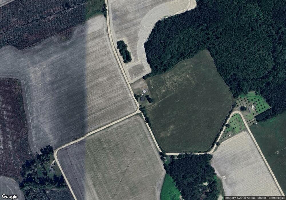
Map
Nearby Homes
- 385 Hayestown Rd
- 426 Hayestown Rd
- 152 Prawn Rd
- 386 Mims Chapel Rd
- 0000 Prawn Rd
- 210 Anchor Way
- 1736 Wolf Pit Church Rd
- 1707 Wolf Pit Church Rd
- 520 Hayestown Rd
- 520 Hayestown Rd
- 1622 Wolf Pit Church Rd
- 1686 Wolf Pit Church Rd
- 130 Carver Farm Rd
- 1716 Wolf Pit Church Rd
- 531 Snapper Rd
- 473 Snapper Rd
- 499 Snapper Rd
- 441 Snapper Rd
- 435 Mims Chapel Rd
- 1610 Wolf Pit Church Rd