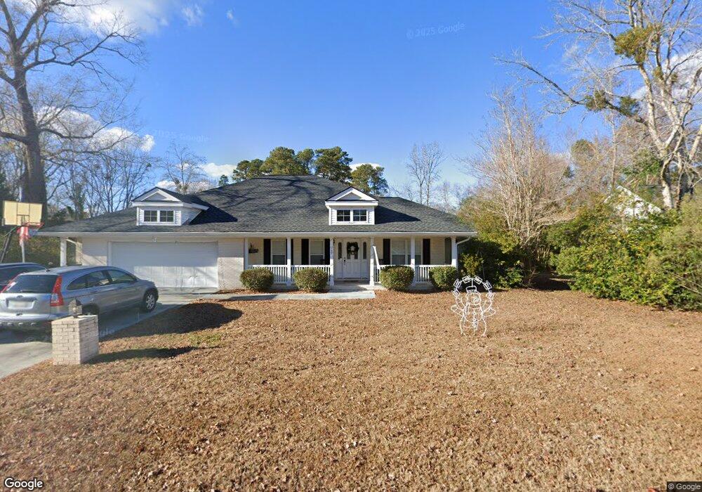
457 Pawpaw Ln Unit MB Myrtle Beach, SC 29579
Estimated Value: $364,107 - $432,000
3
Beds
3
Baths
2,370
Sq Ft
$163/Sq Ft
Est. Value
About This Home
This home is located at 457 Pawpaw Ln Unit MB, Myrtle Beach, SC 29579 and is currently estimated at $387,277, approximately $163 per square foot. 457 Pawpaw Ln Unit MB is a home located in Horry County with nearby schools including Forestbrook Elementary School, Forestbrook Middle School, and Socastee High School.
Ownership History
Date
Name
Owned For
Owner Type
Purchase Details
Closed on
May 2, 2016
Sold by
Sottile Michael K
Bought by
Sottile Joseph and Sottile Nancy
Current Estimated Value
Purchase Details
Closed on
Oct 27, 2015
Bought by
Sottile Joseph and Sottile Nancy
Purchase Details
Closed on
Jul 26, 2013
Sold by
Newhouser Stephanie A
Bought by
Sottile Joseph
Purchase Details
Closed on
Apr 12, 2004
Sold by
Tresnak Kimberly J
Bought by
Newhouser Charles R and Newhouser Stephanie A
Purchase Details
Closed on
Oct 27, 2003
Sold by
Stein John C and Stein Jacqueline M
Bought by
Tresnak Kimberly J
Home Financials for this Owner
Home Financials are based on the most recent Mortgage that was taken out on this home.
Original Mortgage
$172,900
Interest Rate
6%
Mortgage Type
Unknown
Purchase Details
Closed on
Sep 29, 1998
Sold by
Stein John C and Stein Jacqueline M
Bought by
Stein John C and Stein Jacqueline M
Create a Home Valuation Report for This Property
The Home Valuation Report is an in-depth analysis detailing your home's value as well as a comparison with similar homes in the area
Home Values in the Area
Average Home Value in this Area
Purchase History
| Date | Buyer | Sale Price | Title Company |
|---|---|---|---|
| Sottile Joseph | -- | -- | |
| Sottile Joseph | -- | -- | |
| Sottile Joseph | $190,000 | -- | |
| Newhouser Charles R | $188,000 | -- | |
| Tresnak Kimberly J | $182,000 | -- | |
| Stein John C | -- | -- |
Source: Public Records
Mortgage History
| Date | Status | Borrower | Loan Amount |
|---|---|---|---|
| Previous Owner | Tresnak Kimberly J | $172,900 |
Source: Public Records
Tax History Compared to Growth
Tax History
| Year | Tax Paid | Tax Assessment Tax Assessment Total Assessment is a certain percentage of the fair market value that is determined by local assessors to be the total taxable value of land and additions on the property. | Land | Improvement |
|---|---|---|---|---|
| 2024 | $2,708 | $20,947 | $5,201 | $15,746 |
| 2023 | $2,708 | $11,329 | $2,125 | $9,204 |
| 2021 | $2,499 | $11,329 | $2,125 | $9,204 |
| 2020 | $2,368 | $11,329 | $2,125 | $9,204 |
| 2019 | $2,368 | $11,329 | $2,125 | $9,204 |
| 2018 | $0 | $11,548 | $2,278 | $9,270 |
| 2017 | $2,486 | $11,548 | $2,278 | $9,270 |
| 2016 | -- | $11,548 | $2,278 | $9,270 |
| 2015 | $2,486 | $11,548 | $2,278 | $9,270 |
| 2014 | $2,403 | $7,699 | $1,519 | $6,180 |
Source: Public Records
Map
Nearby Homes
- 209 Chickasaw Ln
- 159 Brookgate Dr
- 154 Hummingbird Ct
- 819 Brookline Dr
- 875 Brookline Dr
- 615 Burcale Road Cir
- 705 Burcale Place
- 610 Burcale Road Cir
- 421 Villa Woods Dr
- 950 Forestbrook Rd Unit A1
- 950 Forestbrook Rd Unit C-3
- 3691 Farmington Place
- 538 Ambrosia Loop Unit Fox Horn Community
- 22 Ryan Ln
- 326 Harbison Cir
- 757 Bucklin Loop
- 3534 Gordon Dr
- 801 Burcale Rd Unit I1
- 801 Burcale Rd Unit G-5
- 710 Forestbrook Rd