Estimated Value: $357,000 - $389,000
3
Beds
2
Baths
2,020
Sq Ft
$183/Sq Ft
Est. Value
About This Home
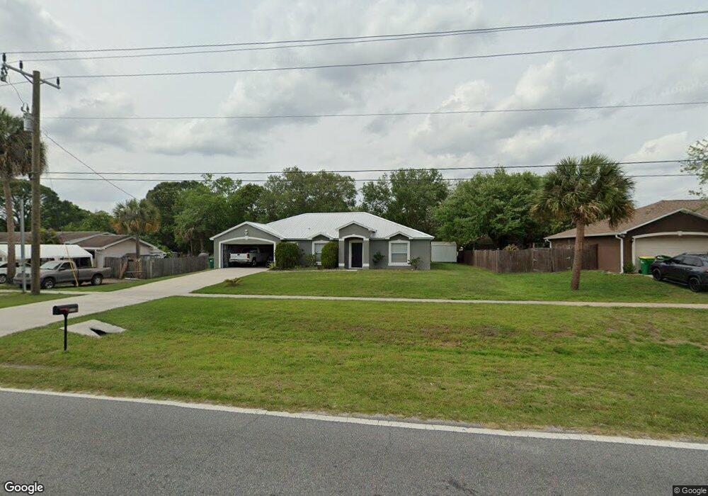
This home is located at 4570 Curtis Blvd, Cocoa, FL 32927 and is currently estimated at $370,618, approximately $183 per square foot. 4570 Curtis Blvd is a home located in Brevard County with nearby schools including Atlantis Elementary School, Space Coast Junior/Senior High School, and Sculptor Charter School.
Ownership History
Date
Name
Owned For
Owner Type
Purchase Details
Closed on
Dec 30, 2004
Sold by
Holiday Builders Inc
Bought by
Alvino David
Current Estimated Value
Home Financials for this Owner
Home Financials are based on the most recent Mortgage that was taken out on this home.
Original Mortgage
$114,878
Outstanding Balance
$60,096
Interest Rate
6.3%
Estimated Equity
$310,522
Purchase Details
Closed on
Feb 2, 2004
Sold by
Lleva E V
Bought by
Holiday Builders Inc
Purchase Details
Closed on
Aug 29, 2003
Sold by
Velazquez Haydee and Carter Haydee
Bought by
Lleva E V
Create a Home Valuation Report for This Property
The Home Valuation Report is an in-depth analysis detailing your home's value as well as a comparison with similar homes in the area
Home Values in the Area
Average Home Value in this Area
Purchase History
| Date | Buyer | Sale Price | Title Company |
|---|---|---|---|
| Alvino David | $143,600 | -- | |
| Holiday Builders Inc | $21,900 | Hbi Title Company | |
| Lleva E V | $13,000 | The Title Station Inc |
Source: Public Records
Mortgage History
| Date | Status | Borrower | Loan Amount |
|---|---|---|---|
| Open | Alvino David | $114,878 |
Source: Public Records
Tax History
| Year | Tax Paid | Tax Assessment Tax Assessment Total Assessment is a certain percentage of the fair market value that is determined by local assessors to be the total taxable value of land and additions on the property. | Land | Improvement |
|---|---|---|---|---|
| 2025 | $1,402 | $113,380 | -- | -- |
| 2024 | $1,354 | $110,190 | -- | -- |
| 2023 | $1,354 | $106,990 | $0 | $0 |
| 2022 | $1,467 | $103,880 | $0 | $0 |
| 2021 | $1,467 | $100,860 | $0 | $0 |
| 2020 | $1,391 | $99,470 | $0 | $0 |
| 2019 | $1,326 | $97,240 | $0 | $0 |
| 2018 | $1,318 | $95,430 | $0 | $0 |
| 2017 | $1,310 | $93,470 | $0 | $0 |
| 2016 | $1,312 | $91,550 | $18,000 | $73,550 |
| 2015 | $1,328 | $90,920 | $15,000 | $75,920 |
| 2014 | $1,330 | $90,200 | $11,000 | $79,200 |
Source: Public Records
Map
Nearby Homes
- 4625 Curtis Blvd
- 7160 Carlowe Ave
- 6990 Camden Ave
- 7065 Bright Ave
- 6947 Carlowe Ave
- 7081 Bayfront Rd
- 6820 Caliph Ave
- 7155 Ackerman Ave
- 4760 Ivan St
- 4285 Glover St
- 4550 Flood St
- 4824 Curtis Blvd
- 4395 Comfort St
- 7450 Calmoso Ave
- 7350 Bartow Ave
- 7070 Bismarck Rd
- 7245 Grissom Pkwy
- 7456 Camio Ave
- 0000 Unknown St
- 7155 Export Ave
- 4550 Curtis Blvd
- 4590 Curtis Blvd
- 7110 Briggs Ave
- 4590 Cinema St
- 7120 Briggs Ave
- 4575 Curtis Blvd
- 4585 Curtis Blvd
- 4600 Curtis Blvd
- 4600 Cinema St
- 4595 Curtis Blvd
- 4530 Curtis Blvd
- 7115 Briggs Ave
- 7130 Briggs Ave
- 4605 Curtis Blvd
- 4625 Cinema St
- 7125 Briggs Ave
- 0 Briggs Ave
- 4535 Curtis Blvd
- 4620 Curtis Blvd
- 6982 Boston Rd
Your Personal Tour Guide
Ask me questions while you tour the home.