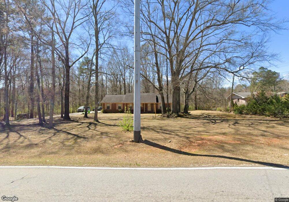
4570 Flint Hill Rd Austell, GA 30106
Estimated Value: $305,000 - $569,074
3
Beds
2
Baths
1,648
Sq Ft
$243/Sq Ft
Est. Value
About This Home
This home is located at 4570 Flint Hill Rd, Austell, GA 30106 and is currently estimated at $400,025, approximately $242 per square foot. 4570 Flint Hill Rd is a home located in Cobb County with nearby schools including Deerwood Elementary School, Clarkdale Elementary School, and Cooper Middle School.
Ownership History
Date
Name
Owned For
Owner Type
Purchase Details
Closed on
Dec 19, 2002
Sold by
Smith Samuel Grady and Smith Jean Martha
Bought by
Mims Ricky L and Mims Zensobia D
Current Estimated Value
Home Financials for this Owner
Home Financials are based on the most recent Mortgage that was taken out on this home.
Original Mortgage
$128,000
Outstanding Balance
$57,795
Interest Rate
5.99%
Mortgage Type
New Conventional
Estimated Equity
$342,230
Create a Home Valuation Report for This Property
The Home Valuation Report is an in-depth analysis detailing your home's value as well as a comparison with similar homes in the area
Home Values in the Area
Average Home Value in this Area
Purchase History
| Date | Buyer | Sale Price | Title Company |
|---|---|---|---|
| Mims Ricky L | $160,000 | -- |
Source: Public Records
Mortgage History
| Date | Status | Borrower | Loan Amount |
|---|---|---|---|
| Open | Mims Ricky L | $128,000 | |
| Closed | Mims Ricky L | $32,000 |
Source: Public Records
Tax History Compared to Growth
Tax History
| Year | Tax Paid | Tax Assessment Tax Assessment Total Assessment is a certain percentage of the fair market value that is determined by local assessors to be the total taxable value of land and additions on the property. | Land | Improvement |
|---|---|---|---|---|
| 2025 | $1,486 | $226,384 | $158,200 | $68,184 |
| 2024 | $1,491 | $226,384 | $158,200 | $68,184 |
| 2023 | $4,506 | $203,868 | $148,312 | $55,556 |
| 2022 | $4,005 | $154,428 | $98,872 | $55,556 |
| 2021 | $3,204 | $117,836 | $74,156 | $43,680 |
| 2020 | $3,204 | $117,836 | $74,156 | $43,680 |
| 2019 | $2,903 | $104,652 | $60,972 | $43,680 |
| 2018 | $2,663 | $96,752 | $56,028 | $40,724 |
| 2017 | $2,051 | $80,272 | $39,548 | $40,724 |
| 2016 | $2,052 | $80,272 | $39,548 | $40,724 |
| 2015 | $2,105 | $80,272 | $39,548 | $40,724 |
| 2014 | $1,594 | $62,500 | $0 | $0 |
Source: Public Records
Map
Nearby Homes
- 4520 Flint Hill Rd
- 2547 Flint Hill Rd
- 2437 Anderson Mill Rd
- 4515 Flint Hill Rd
- 2550 Dogwood Hills Ct Unit 2
- 2435 Anderson Mill Rd
- 4586 Flint Hill Rd
- 4500 Flint Hill Rd
- 2546 Dogwood Hills Ct
- 4506 Greenside Walk
- 2433 Anderson Mill Rd
- 4505 Greenside Walk
- 4450 Flint Hill Rd
- 2549 Dogwood Hills Ct Unit BASEMENT
- 2549 Dogwood Hills Ct
- 2431 Anderson Mill Rd
- 2545 Dogwood Hills Ct Unit 2
- 2544 Dogwood Hills Ct
- 2449 Greenside Ct
- 2445 Greenside Ct