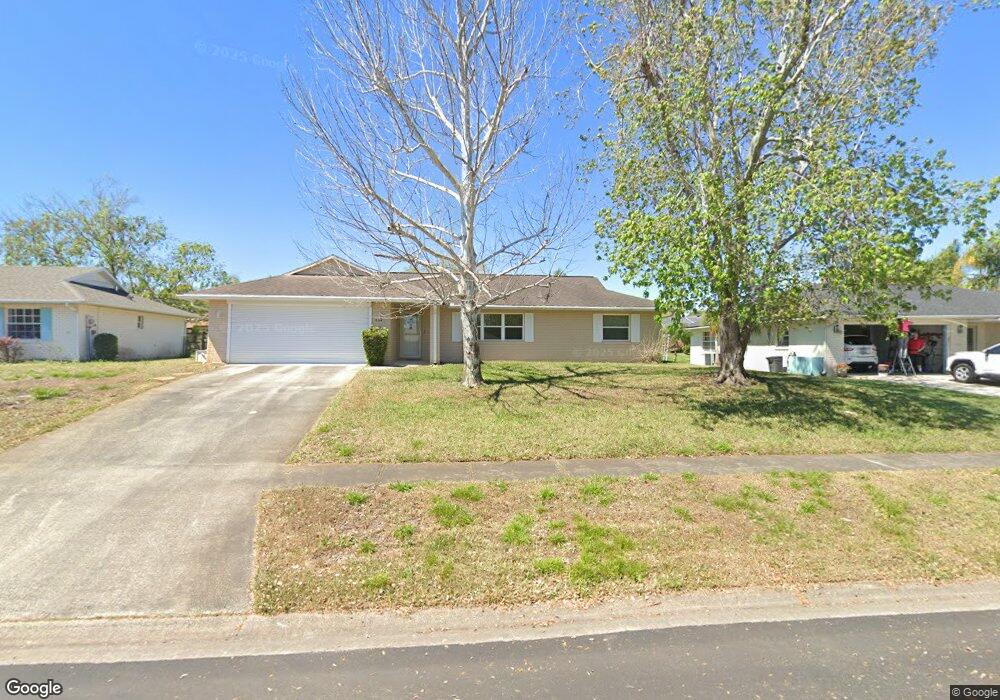
4574 Hoyt Dr Port Orange, FL 32129
Estimated Value: $283,056 - $327,000
3
Beds
2
Baths
1,433
Sq Ft
$209/Sq Ft
Est. Value
About This Home
This home is located at 4574 Hoyt Dr, Port Orange, FL 32129 and is currently estimated at $299,514, approximately $209 per square foot. 4574 Hoyt Dr is a home located in Volusia County with nearby schools including Atlantic High School, Sugar Mill Elementary School, and Silver Sands Middle School.
Ownership History
Date
Name
Owned For
Owner Type
Purchase Details
Closed on
Aug 6, 1993
Sold by
Levere Paul D and Levere Gwendolyn A
Bought by
Southtrust Mtg Corp
Current Estimated Value
Home Financials for this Owner
Home Financials are based on the most recent Mortgage that was taken out on this home.
Original Mortgage
$60,400
Interest Rate
7.26%
Purchase Details
Closed on
Nov 15, 1986
Bought by
Levere Paul D and Levere Gwendolyn A
Purchase Details
Closed on
Apr 15, 1986
Bought by
Levere Paul D and Levere Gwendolyn A
Create a Home Valuation Report for This Property
The Home Valuation Report is an in-depth analysis detailing your home's value as well as a comparison with similar homes in the area
Home Values in the Area
Average Home Value in this Area
Purchase History
| Date | Buyer | Sale Price | Title Company |
|---|---|---|---|
| Southtrust Mtg Corp | -- | -- | |
| Levere Paul D | $67,900 | -- | |
| Levere Paul D | $682,000 | -- |
Source: Public Records
Mortgage History
| Date | Status | Borrower | Loan Amount |
|---|---|---|---|
| Closed | Southtrust Mtg Corp | $60,400 |
Source: Public Records
Tax History Compared to Growth
Tax History
| Year | Tax Paid | Tax Assessment Tax Assessment Total Assessment is a certain percentage of the fair market value that is determined by local assessors to be the total taxable value of land and additions on the property. | Land | Improvement |
|---|---|---|---|---|
| 2025 | $1,056 | $100,875 | -- | -- |
| 2024 | $1,056 | $98,033 | -- | -- |
| 2023 | $1,056 | $95,178 | $0 | $0 |
| 2022 | $999 | $92,406 | $0 | $0 |
| 2021 | $1,003 | $89,715 | $0 | $0 |
| 2020 | $974 | $88,476 | $0 | $0 |
| 2019 | $936 | $86,487 | $0 | $0 |
| 2018 | $927 | $84,874 | $0 | $0 |
| 2017 | $919 | $83,128 | $0 | $0 |
| 2016 | $901 | $81,418 | $0 | $0 |
| 2015 | $923 | $80,852 | $0 | $0 |
| 2014 | $922 | $80,210 | $0 | $0 |
Source: Public Records
Map
Nearby Homes
- 1041 Tompkins Dr
- 711 Gilpin Way
- 760 Rolling Hills Dr
- 766 Greenfield Dr
- 715 Larado Dr
- 176 Windsor Dr
- 151 Brandy Hills Dr
- 146 Berkley Cir Unit 146
- 94 Woodlake Dr
- 169 Windsor Dr
- 14 Woodlake Dr
- 81 Regency Dr Unit 81
- 48 Golden Gate Cir
- 112 Regency Dr
- 456 Cecilia Dr Unit 456E
- 1170 Stillwood Ct
- 379 Windsor Dr
- 721 Rolling Hills Dr
- 45 Bella Oaks Dr
- 208 Windsor Dr