457412 E 1080 Rd Sallisaw, OK 74955
Estimated Value: $355,000 - $439,000
4
Beds
3
Baths
2,082
Sq Ft
$193/Sq Ft
Est. Value
About This Home
This home is located at 457412 E 1080 Rd, Sallisaw, OK 74955 and is currently estimated at $401,206, approximately $192 per square foot. 457412 E 1080 Rd is a home located in Sequoyah County with nearby schools including Liberty Elementary School, Eastside Elementary School, and Sallisaw Middle School.
Ownership History
Date
Name
Owned For
Owner Type
Purchase Details
Closed on
May 13, 2019
Sold by
Benton Bobby K and French Lani J
Bought by
Meek Teddi
Current Estimated Value
Home Financials for this Owner
Home Financials are based on the most recent Mortgage that was taken out on this home.
Original Mortgage
$270,019
Outstanding Balance
$235,927
Interest Rate
4.1%
Mortgage Type
FHA
Estimated Equity
$165,279
Purchase Details
Closed on
Jan 10, 2012
Sold by
Phillips Richard S
Bought by
Benton Bobby K and Rench Lani J
Home Financials for this Owner
Home Financials are based on the most recent Mortgage that was taken out on this home.
Original Mortgage
$330,600
Interest Rate
4%
Mortgage Type
New Conventional
Purchase Details
Closed on
May 30, 2008
Sold by
Sinyard Brian and Sinyard Elizabeth
Bought by
Benton Bobbny K and Benton Lani J
Create a Home Valuation Report for This Property
The Home Valuation Report is an in-depth analysis detailing your home's value as well as a comparison with similar homes in the area
Home Values in the Area
Average Home Value in this Area
Purchase History
| Date | Buyer | Sale Price | Title Company |
|---|---|---|---|
| Meek Teddi | $296,014 | None Available | |
| Benton Bobby K | -- | None Available | |
| Benton Bobbny K | $360,000 | None Available |
Source: Public Records
Mortgage History
| Date | Status | Borrower | Loan Amount |
|---|---|---|---|
| Open | Meek Teddi | $270,019 | |
| Previous Owner | Benton Bobby K | $330,600 |
Source: Public Records
Tax History Compared to Growth
Tax History
| Year | Tax Paid | Tax Assessment Tax Assessment Total Assessment is a certain percentage of the fair market value that is determined by local assessors to be the total taxable value of land and additions on the property. | Land | Improvement |
|---|---|---|---|---|
| 2025 | $2,566 | $27,591 | $1,311 | $26,280 |
| 2024 | $2,566 | $26,788 | $1,311 | $25,477 |
| 2023 | $2,434 | $26,008 | $1,311 | $24,697 |
| 2022 | $2,154 | $25,251 | $1,408 | $23,843 |
| 2021 | $2,150 | $25,251 | $1,408 | $23,843 |
| 2020 | $2,189 | $25,251 | $1,408 | $23,843 |
| 2019 | $1,928 | $23,001 | $605 | $22,396 |
| 2018 | $1,890 | $22,396 | $605 | $21,791 |
| 2017 | $2,106 | $24,893 | $605 | $24,288 |
| 2016 | $2,163 | $25,256 | $605 | $24,651 |
| 2015 | $2,233 | $25,586 | $605 | $24,981 |
| 2014 | $2,265 | $25,949 | $605 | $25,344 |
Source: Public Records
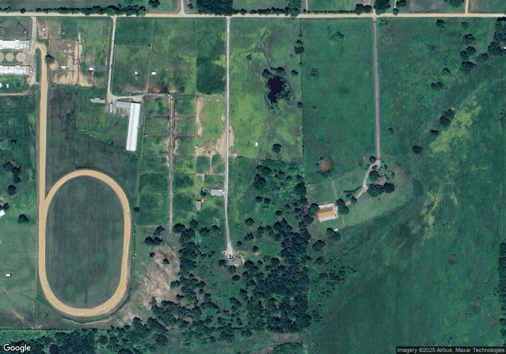
Map
Nearby Homes
- 107903 S 4570 Rd
- TBD Lot 2 S 4570 Rd
- TBD Lot 1 S 4570 Rd
- TBD Lot 3 S 4570 Rd
- 107188 S 4570 Rd
- 456404 E 1100 Rd
- 110497 S 4580 Rd
- 30 S 4550 Rd
- 000 Drake Rd
- 3089 W Drake Rd
- 109256 S 4550 Rd
- 3003 W Redwood Ave
- 0 S 4557 Rd
- 105133 S 4570 Rd
- 454694 Highway 64
- 0 4540 Rd
- 107794 S 4540 Rd
- 0 E 1115 Rd
- 459193 E 1115 Dr
- 2010 Aspen