4575 Skybolt St Las Vegas, NV 89115
Estimated Value: $296,000 - $320,000
2
Beds
2
Baths
976
Sq Ft
$318/Sq Ft
Est. Value
About This Home
This home is located at 4575 Skybolt St, Las Vegas, NV 89115 and is currently estimated at $310,443, approximately $318 per square foot. 4575 Skybolt St is a home located in Clark County with nearby schools including J.E. Manch Elementary School, Zel & Mary Lowman Elementary School, and Carroll M. Johnston STEM Academy of Environmental Studies.
Ownership History
Date
Name
Owned For
Owner Type
Purchase Details
Closed on
Jun 10, 2024
Sold by
County Of Clark
Bought by
Treasurer Of Clark County
Current Estimated Value
Purchase Details
Closed on
Jul 5, 1995
Sold by
Woodside Homes Of Nevada Inc
Bought by
Powell Regan
Home Financials for this Owner
Home Financials are based on the most recent Mortgage that was taken out on this home.
Original Mortgage
$64,749
Interest Rate
7.9%
Mortgage Type
Assumption
Create a Home Valuation Report for This Property
The Home Valuation Report is an in-depth analysis detailing your home's value as well as a comparison with similar homes in the area
Home Values in the Area
Average Home Value in this Area
Purchase History
| Date | Buyer | Sale Price | Title Company |
|---|---|---|---|
| Treasurer Of Clark County | $3,400 | None Listed On Document | |
| Powell Regan | $78,000 | Old Republic Title Company |
Source: Public Records
Mortgage History
| Date | Status | Borrower | Loan Amount |
|---|---|---|---|
| Previous Owner | Powell Regan | $64,749 |
Source: Public Records
Tax History Compared to Growth
Tax History
| Year | Tax Paid | Tax Assessment Tax Assessment Total Assessment is a certain percentage of the fair market value that is determined by local assessors to be the total taxable value of land and additions on the property. | Land | Improvement |
|---|---|---|---|---|
| 2025 | $1,739 | $57,682 | $22,050 | $35,632 |
| 2024 | $964 | $57,682 | $22,050 | $35,632 |
| 2023 | $964 | $58,777 | $24,850 | $33,927 |
| 2022 | $925 | $50,018 | $18,900 | $31,118 |
| 2021 | $638 | $47,206 | $17,500 | $29,706 |
| 2020 | $617 | $46,394 | $16,800 | $29,594 |
| 2019 | $599 | $43,265 | $14,000 | $29,265 |
| 2018 | $581 | $37,984 | $9,800 | $28,184 |
| 2017 | $1,074 | $36,615 | $8,050 | $28,565 |
| 2016 | $552 | $31,600 | $5,950 | $25,650 |
| 2015 | $549 | $23,259 | $3,850 | $19,409 |
| 2014 | $533 | $17,641 | $3,850 | $13,791 |
Source: Public Records
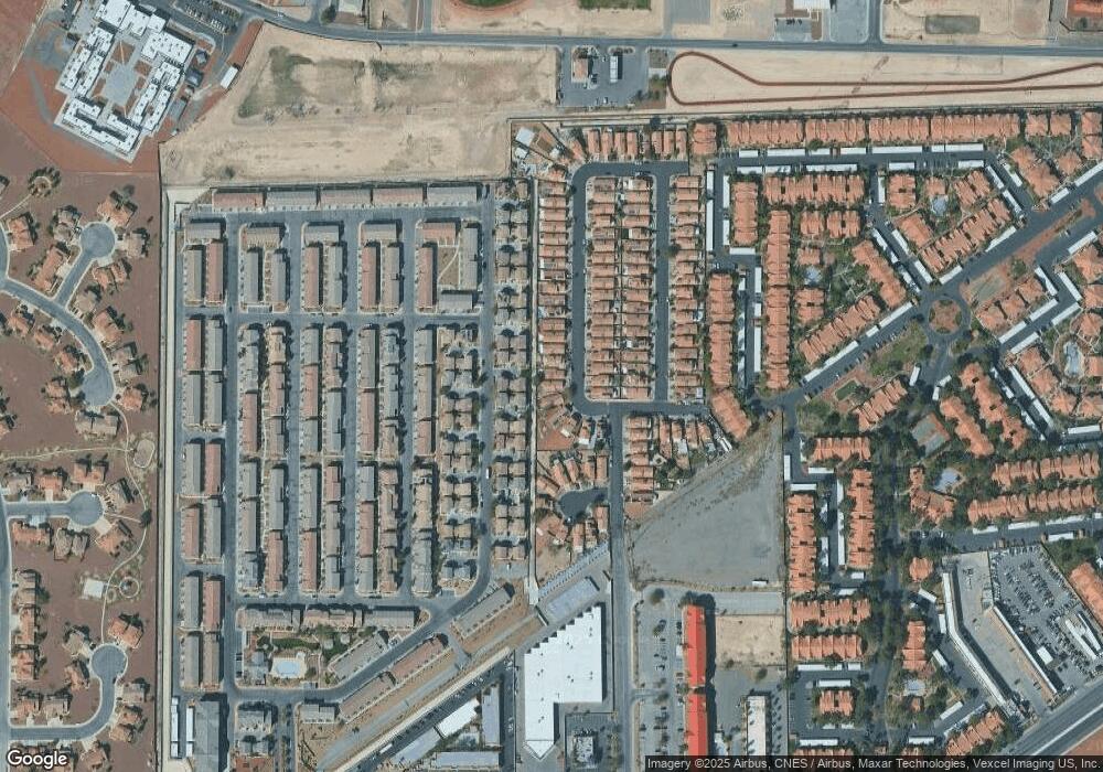
Map
Nearby Homes
- 4585 Spitfire St
- 4589 Spitfire St
- 4612 Townwall St
- 4642 Townwall St
- 4537 Townwall St
- 4516 Townwall St
- 4533 Townwall St
- 4603 Woolcomber St
- 4561 Woolcomber St
- 4626 Pencester St
- 5209 Silica Chalk Ave
- 4579 Pencester St
- 5183 Silica Chalk Ave
- 4640 Dover Straight St
- 5109 Steep Cliffs Ave
- 4437 Dover Straight St Unit 104
- 4437 Dover Straight St Unit 202
- 4300 N Lamont St Unit 234
- 4300 N Lamont St Unit 209
- 4300 N Lamont St Unit 232
- 4581 Skybolt St Unit none
- 4571 Skybolt St
- 4587 Skybolt St
- 4586 Lime Straight Dr
- 4574 Lime Straight Dr
- 4591 Skybolt St
- 4567 Skybolt St
- 4578 Skybolt St
- 4572 Skybolt St
- 5275 Pentagon Ave
- 4584 Skybolt St
- 4584 Skybolt St
- 4584 Skybolt St
- 4570 Lime Straight Dr
- 4582 Lime Straight Dr
- 4578 Lime Straight Dr
- 4602 Lime Straight Dr
- 4588 Skybolt St
- 4594 Lime Straight Dr