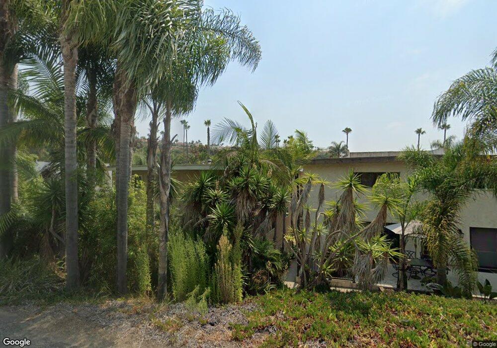
4576 Cove Dr Unit B Carlsbad, CA 92008
Hedionda Point NeighborhoodEstimated Value: $720,000 - $1,065,000
About This Home
This home is located at 4576 Cove Dr Unit B, Carlsbad, CA 92008 and is currently estimated at $942,329, approximately $552 per square foot. 4576 Cove Dr Unit B is a home located in San Diego County with nearby schools including Kelly Elementary School, Carlsbad High School, and Sage Creek High.
Ownership History
We collect this data history from publicly available records. To have your information removed, we recommend requesting removal directly through your county’s website.
Purchase Details
Purchase Details
Home Financials for this Owner
Home Financials are based on the most recent Mortgage that was taken out on this home.Purchase Details
Home Values in the Area
Average Home Value in this Area
Purchase History
We collect this data history from publicly available records. To have your information removed, we recommend requesting removal directly through your county’s website.
| Date | Buyer | Sale Price | Title Company |
|---|---|---|---|
| -- | None Listed On Document | ||
| $185,500 | American Title Ins Co | ||
| -- | -- |
Mortgage History
We collect this data history from publicly available records. To have your information removed, we recommend requesting removal directly through your county’s website.
| Date | Status | Borrower | Loan Amount |
|---|---|---|---|
| Previous Owner | $166,950 |
Tax History
We collect this data history from publicly available records. To have your information removed, we recommend requesting removal directly through your county’s website.
| Year | Tax Paid | Tax Assessment Tax Assessment Total Assessment is a certain percentage of the fair market value that is determined by local assessors to be the total taxable value of land and additions on the property. | Land | Improvement |
|---|---|---|---|---|
| 2025 | $3,089 | $290,785 | $156,761 | $134,024 |
| 2024 | $3,089 | $285,085 | $153,688 | $131,397 |
| 2023 | $3,073 | $279,496 | $150,675 | $128,821 |
| 2022 | $3,026 | $274,017 | $147,721 | $126,296 |
| 2021 | $3,003 | $268,645 | $144,825 | $123,820 |
| 2020 | $2,983 | $265,891 | $143,340 | $122,551 |
| 2019 | $2,930 | $260,679 | $140,530 | $120,149 |
| 2018 | $2,808 | $255,569 | $137,775 | $117,794 |
| 2017 | $2,761 | $250,559 | $135,074 | $115,485 |
| 2016 | $2,651 | $245,647 | $132,426 | $113,221 |
| 2015 | $2,625 | $241,958 | $130,437 | $111,521 |
| 2014 | $2,582 | $237,219 | $127,882 | $109,337 |
Map
- 4570 Cove Dr Unit A
- 4529 Cove Dr Unit 101
- 0 Adams St Unit OC24201399
- 4350 Highland Dr
- 4513 Cove Dr Unit 17
- 4705 Marina Dr Unit 7
- 4705 Marina Dr Unit 4
- 4747 Marina Dr Unit 23
- 4269 Hillside Dr
- 1095 Hoover St
- 0 Hoover St
- 1115 Hoover St
- 4301 & 4311 Brooks Way
- 1733 Schooner Way Unit 1
- 4316 Horizon Dr
- 4781 Argosy Ln
- 4747 Bryce Cir
- 4208 Park Dr
- 4793 Endeavor Ln
- 4235 Harrison St
- 4570 Cove Dr Unit C
- 4570 Cove Dr
- 4570 Cove Dr Unit D
- 4570 Cove Dr Unit C
- 4570 Cove Dr Unit B
- 4576 Cove Dr
- 4576 Cove Dr Unit C
- 4576 Cove Dr Unit A
- 4566 Cove Dr Unit B
- 4566 Cove Dr Unit D
- 4566 Cove Dr Unit C
- 4566 Cove Dr Unit A
- 4560 & 4566 Cove Dr
- 4566 Cove Dr
- 4584 Cove Dr
- 4560 Cove Dr
- 4590 Cove Dr Unit B
- 4590 Cove Dr Unit B
- 4590 Cove Dr
- 4575 Cove Dr
Ask me questions while you tour the home.