4576 Howard Rd Kimball, MI 48074
Estimated Value: $136,000 - $243,000
3
Beds
2
Baths
1,725
Sq Ft
$114/Sq Ft
Est. Value
About This Home
This home is located at 4576 Howard Rd, Kimball, MI 48074 and is currently estimated at $195,849, approximately $113 per square foot. 4576 Howard Rd is a home located in St. Clair County with nearby schools including Indian Woods Elementary School, Central Middle School, and Port Huron High School.
Ownership History
Date
Name
Owned For
Owner Type
Purchase Details
Closed on
Mar 8, 2016
Sold by
Lavere Rick
Bought by
Reeves Rodney A and Reeves Lori K
Current Estimated Value
Home Financials for this Owner
Home Financials are based on the most recent Mortgage that was taken out on this home.
Original Mortgage
$60,385
Outstanding Balance
$49,277
Interest Rate
4.62%
Mortgage Type
FHA
Estimated Equity
$146,572
Purchase Details
Closed on
May 6, 2011
Sold by
Lavere Rick and Lavere Lynda
Bought by
Lavere Rick
Create a Home Valuation Report for This Property
The Home Valuation Report is an in-depth analysis detailing your home's value as well as a comparison with similar homes in the area
Home Values in the Area
Average Home Value in this Area
Purchase History
| Date | Buyer | Sale Price | Title Company |
|---|---|---|---|
| Reeves Rodney A | $61,500 | Liberty Title | |
| Lavere Rick | -- | None Available |
Source: Public Records
Mortgage History
| Date | Status | Borrower | Loan Amount |
|---|---|---|---|
| Open | Reeves Rodney A | $60,385 |
Source: Public Records
Tax History
| Year | Tax Paid | Tax Assessment Tax Assessment Total Assessment is a certain percentage of the fair market value that is determined by local assessors to be the total taxable value of land and additions on the property. | Land | Improvement |
|---|---|---|---|---|
| 2025 | $939 | $85,900 | $0 | $0 |
| 2024 | $911 | $86,500 | $0 | $0 |
| 2023 | $835 | $82,100 | $0 | $0 |
| 2022 | $1,862 | $81,000 | $0 | $0 |
| 2020 | $1,712 | $74,300 | $74,300 | $0 |
| 2019 | $1,689 | $65,400 | $0 | $0 |
| 2018 | $1,634 | $64,700 | $0 | $0 |
| 2017 | $1,604 | $69,300 | $0 | $0 |
| 2016 | $783 | $69,300 | $0 | $0 |
| 2015 | -- | $65,400 | $65,400 | $0 |
| 2014 | -- | $64,000 | $64,000 | $0 |
| 2013 | -- | $50,900 | $0 | $0 |
Source: Public Records
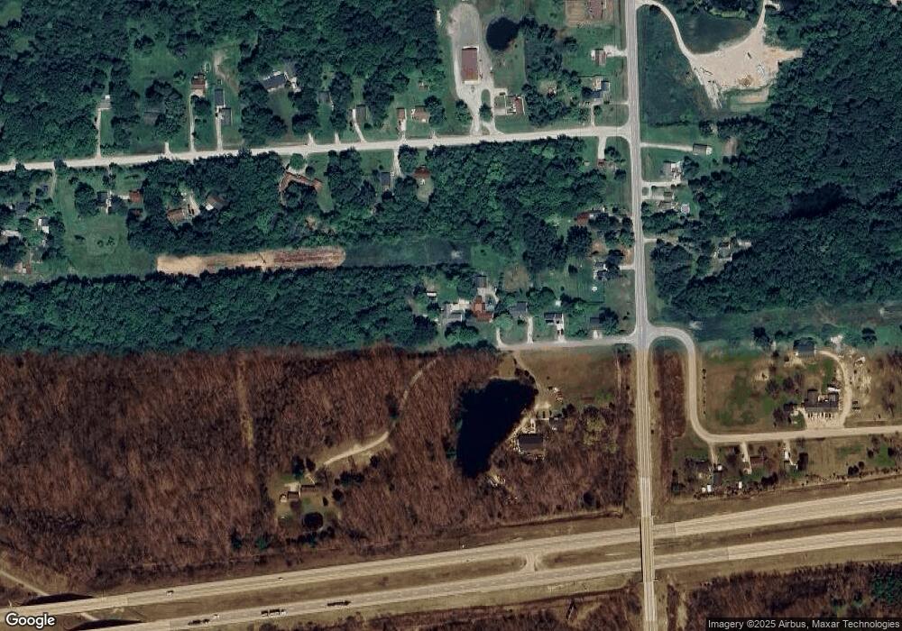
Map
Nearby Homes
- 0000 Range Rd
- 0 Wall Rd Unit 50185999
- 00 Howard Rd
- 4380 Lapeer Rd
- 0 Lapeer Rd Unit 50137357
- 0 Allen Rd Unit 20250008597
- 0 Allen Rd Unit 20250008612
- 4915 Griswold Rd
- 4911 Castlewood Dr
- 1405 Range Rd
- 4901 Lorwood Dr
- V/L Allen
- 3101 Range Rd
- 00 Range Rd
- 4459 Cambridge Dr
- 1604 Allen Rd
- 4440 Cambridge Dr
- 3115 Spruce Dr
- 0000 W Water St
- 0 Wadhams Rd Unit 50155021
- 4576 Howard Rd
- 4568 Howard Rd
- 4560 Howard Rd
- V/L Howard Rd
- 4554 Howard Rd
- 4559 Smith Rd
- 4569 Smith Rd
- 4569 Smith Rd
- 2325 Range Rd
- 2331 Range Rd
- 4525 Howard Rd
- 2345 Range Rd
- 0 Howard Unit 4920805
- 0 Howard Unit 866572
- 0 Howard Unit 4661462
- 0 Howard Unit 212126515
- 0 Howard Unit 31209981
- 0 Howard Unit G31233188
- 0 Howard Unit G31233187
- 0 Howard Unit R215020926