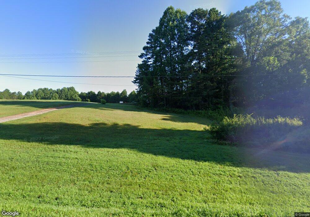
4578 Highway 52 W Dahlonega, GA 30533
Estimated Value: $265,000 - $559,000
--
Bed
--
Bath
2,229
Sq Ft
$178/Sq Ft
Est. Value
About This Home
This home is located at 4578 Highway 52 W, Dahlonega, GA 30533 and is currently estimated at $397,135, approximately $178 per square foot. 4578 Highway 52 W is a home with nearby schools including Lumpkin County High School.
Ownership History
Date
Name
Owned For
Owner Type
Purchase Details
Closed on
Nov 10, 2017
Sold by
Pham Deidre
Bought by
Smith Brandon
Current Estimated Value
Home Financials for this Owner
Home Financials are based on the most recent Mortgage that was taken out on this home.
Original Mortgage
$108,007
Outstanding Balance
$93,640
Interest Rate
5.25%
Mortgage Type
FHA
Estimated Equity
$303,495
Purchase Details
Closed on
Nov 18, 2011
Sold by
Grizzle Deidre Rose
Bought by
Pham Deidre
Home Financials for this Owner
Home Financials are based on the most recent Mortgage that was taken out on this home.
Original Mortgage
$92,950
Interest Rate
4.17%
Mortgage Type
New Conventional
Create a Home Valuation Report for This Property
The Home Valuation Report is an in-depth analysis detailing your home's value as well as a comparison with similar homes in the area
Home Values in the Area
Average Home Value in this Area
Purchase History
| Date | Buyer | Sale Price | Title Company |
|---|---|---|---|
| Smith Brandon | $110,000 | -- | |
| Pham Deidre | -- | -- |
Source: Public Records
Mortgage History
| Date | Status | Borrower | Loan Amount |
|---|---|---|---|
| Open | Smith Brandon | $108,007 | |
| Previous Owner | Pham Deidre | $92,950 |
Source: Public Records
Tax History Compared to Growth
Tax History
| Year | Tax Paid | Tax Assessment Tax Assessment Total Assessment is a certain percentage of the fair market value that is determined by local assessors to be the total taxable value of land and additions on the property. | Land | Improvement |
|---|---|---|---|---|
| 2024 | $3,030 | $126,051 | $12,618 | $113,433 |
| 2023 | $2,751 | $116,946 | $11,792 | $105,154 |
| 2022 | $2,593 | $104,754 | $9,828 | $94,926 |
| 2021 | $2,233 | $87,250 | $9,828 | $77,422 |
| 2020 | $2,226 | $84,376 | $9,416 | $74,960 |
| 2019 | $2,246 | $84,376 | $9,416 | $74,960 |
| 2018 | $1,248 | $75,386 | $9,416 | $65,970 |
| 2017 | $1,965 | $69,912 | $9,416 | $60,496 |
| 2016 | $1,769 | $61,148 | $9,416 | $51,732 |
| 2015 | $1,573 | $61,148 | $9,416 | $51,732 |
| 2014 | $1,573 | $61,666 | $9,416 | $52,250 |
| 2013 | -- | $62,183 | $9,415 | $52,768 |
Source: Public Records
Map
Nearby Homes
- 0 Nimblewill Creek Rd Unit 7592435
- 0 Nimblewill Creek Rd Unit 10537541
- 0 Nimblewill Creek Rd Unit 10537492
- 0 Nimblewill Creek Rd Unit 7592523
- 687 Nimblewill Creek Rd
- 3A Patriot View Dr
- 61 Station Gap
- 1028 Jess Grizzle Rd
- 604 Sheep Wallow Rd
- 155 Braeburn Ln
- 9 W Woods Ct
- 235 W Woods Dr
- 245 W Woods Dr
- 3050 Sheep Wallow Rd
- 10 Strada Del Vino
- 0 Strada Del Vino Unit 10
- 115 W Woods Dr
- 436 Applewood Ln
- 78 Etowah West Dr
- 543 Rider Mill Rd
- 17 Old Steele Hollow
- 0 Nimblewill Church Rd Unit 8331462
- 0 Nimblewill Church Rd Unit 7213159
- 0 Nimblewill Church Rd Unit 7301446
- 0 Nimblewill Church Rd Unit 7374524
- 0 Nimblewill Church Rd Unit 8192882
- 0 Nimblewill Church Rd Unit 5244308
- 0 Nimblewill Church Rd Unit 5316208
- 0 Nimblewill Church Rd Unit 5386272
- 0 Nimblewill Church Rd Unit 5546331
- 0 Nimblewill Church Rd Unit 10235667
- 0 Nimblewill Church Rd Unit 20163683
- 0 Nimblewill Church Rd Unit 7316966
- 0 Nimblewill Church Rd Unit CHURCH
- 0 Nimblewill Church Rd Unit 8950639
- 0 Nimblewill Church Rd Unit 8697475
- 0 Nimblewill Church Rd Unit 8702353
- 0 Nimblewill Church Rd Unit 6651710
- 0 Nimblewill Church Rd Unit 3208791
