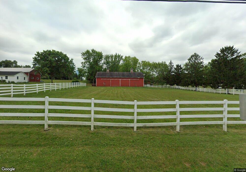
4578 Tallmadge Rd Rootstown, OH 44272
Estimated Value: $276,000 - $344,000
3
Beds
2
Baths
2,432
Sq Ft
$127/Sq Ft
Est. Value
About This Home
This home is located at 4578 Tallmadge Rd, Rootstown, OH 44272 and is currently estimated at $308,744, approximately $126 per square foot. 4578 Tallmadge Rd is a home located in Portage County with nearby schools including Rootstown Middle School - Schnee Building and Rootstown High School.
Ownership History
Date
Name
Owned For
Owner Type
Purchase Details
Closed on
Jun 20, 2025
Sold by
Wise Jacquelyn and Wise Corey
Bought by
Wise Craig
Current Estimated Value
Purchase Details
Closed on
Aug 30, 2021
Sold by
Craig Wise
Bought by
Wise Curtis L and Wise Jacquelyn S
Purchase Details
Closed on
Jul 8, 2021
Sold by
Wise Curtis L and Wise Jacquelyn S
Bought by
Wise Curtis L and Wise Jacquelyn S
Purchase Details
Closed on
Jan 1, 1990
Bought by
Wise Jacquelyn S
Create a Home Valuation Report for This Property
The Home Valuation Report is an in-depth analysis detailing your home's value as well as a comparison with similar homes in the area
Home Values in the Area
Average Home Value in this Area
Purchase History
| Date | Buyer | Sale Price | Title Company |
|---|---|---|---|
| Wise Craig | $252,000 | None Listed On Document | |
| Wise Curtis L | -- | -- | |
| Wise Curtis L | -- | None Available | |
| Wise Jacquelyn S | -- | -- |
Source: Public Records
Tax History Compared to Growth
Tax History
| Year | Tax Paid | Tax Assessment Tax Assessment Total Assessment is a certain percentage of the fair market value that is determined by local assessors to be the total taxable value of land and additions on the property. | Land | Improvement |
|---|---|---|---|---|
| 2024 | $4,174 | $113,550 | $17,190 | $96,360 |
| 2023 | $3,412 | $84,670 | $15,160 | $69,510 |
| 2022 | $3,397 | $84,670 | $15,160 | $69,510 |
| 2021 | $2,382 | $62,030 | $10,120 | $51,910 |
| 2020 | $2,087 | $53,630 | $9,630 | $44,000 |
| 2019 | $2,093 | $53,630 | $9,630 | $44,000 |
| 2018 | $1,775 | $45,190 | $10,220 | $34,970 |
| 2017 | $1,775 | $45,190 | $10,220 | $34,970 |
| 2016 | $1,763 | $45,190 | $10,220 | $34,970 |
| 2015 | $1,783 | $45,190 | $10,220 | $34,970 |
| 2014 | $1,816 | $45,190 | $10,220 | $34,970 |
| 2013 | $1,803 | $45,190 | $10,220 | $34,970 |
Source: Public Records
Map
Nearby Homes
- 3987 J A Vaughn Ave
- 0 New Milford Rd Unit 11489599
- 0 New Milford Rd Unit 5108183
- 0 Lynn Rd Unit 5110102
- 4326 Clover Dr
- 4691 Scenic Dr
- 4770 Valley Hills Dr
- 0 Rootstown Rd Unit 5173350
- V/L 2 Lynn Rd
- V/L Lynn Rd
- 3807 Industry Rd
- sub lot Lane Ave
- 3637 Old Forge Rd
- 3021 Hartville Rd
- 3401 Biltz Rd
- 5387 State Route 14
- 5560 Wilkes Rd
- 4958 Bassett Rd
- 0 St Andrews Way Unit 5094250
- 2547 Industry Rd
- 4620 Tallmadge Rd
- 4628 Tallmadge Rd
- 3984 Pfile Dr
- 4579 Tallmadge Rd
- 3959 Pfile Dr
- 4573 Tallmadge Rd
- 3970 Pfile Dr
- 4599 Tallmadge Rd
- 4648 Tallmadge Rd
- 3950 Pfile Dr
- 4560 Tallmadge Rd
- 4569 Tallmadge Rd
- 4641 Tallmadge Rd
- 4561 Tallmadge Rd
- 3961 Pfile Dr
- 3934 Pfile Dr
- 4540 Tallmadge Rd
- 4545 Tallmadge Rd
- 3933 Pfile Dr
- 4680 Tallmadge Rd