Estimated Value: $671,000 - $758,897
--
Bed
4
Baths
3,129
Sq Ft
$229/Sq Ft
Est. Value
About This Home
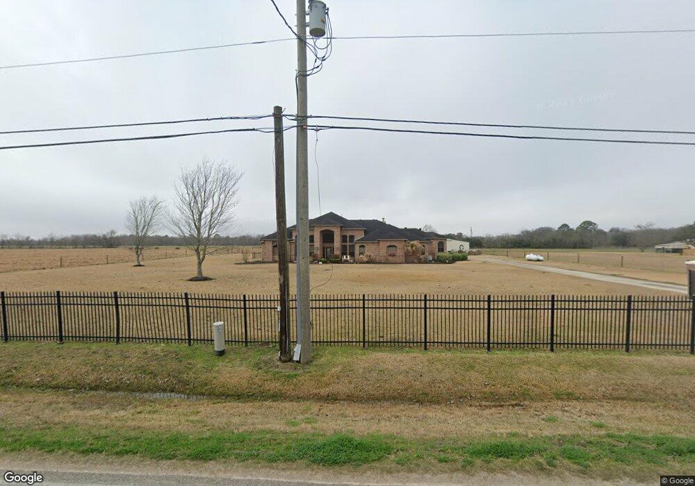
This home is located at 4579 County Road 181, Alvin, TX 77511 and is currently estimated at $716,632, approximately $229 per square foot. 4579 County Road 181 is a home located in Brazoria County with nearby schools including Bob & Betty Nelson Elementary School, Fairview Junior High School, and Alvin High School.
Ownership History
Date
Name
Owned For
Owner Type
Purchase Details
Closed on
Nov 8, 1999
Sold by
Ware Charlie B and Ware Mary Jean
Bought by
Clark Darrell Wayne and Clark Tracy Jean
Current Estimated Value
Home Financials for this Owner
Home Financials are based on the most recent Mortgage that was taken out on this home.
Original Mortgage
$30,500
Outstanding Balance
$9,297
Interest Rate
7.73%
Mortgage Type
Seller Take Back
Estimated Equity
$707,335
Create a Home Valuation Report for This Property
The Home Valuation Report is an in-depth analysis detailing your home's value as well as a comparison with similar homes in the area
Home Values in the Area
Average Home Value in this Area
Purchase History
| Date | Buyer | Sale Price | Title Company |
|---|---|---|---|
| Clark Darrell Wayne | -- | -- |
Source: Public Records
Mortgage History
| Date | Status | Borrower | Loan Amount |
|---|---|---|---|
| Open | Clark Darrell Wayne | $30,500 |
Source: Public Records
Tax History Compared to Growth
Tax History
| Year | Tax Paid | Tax Assessment Tax Assessment Total Assessment is a certain percentage of the fair market value that is determined by local assessors to be the total taxable value of land and additions on the property. | Land | Improvement |
|---|---|---|---|---|
| 2025 | $4,080 | $326,915 | $23,760 | $343,280 |
| 2023 | $4,080 | $270,500 | $40,590 | $406,110 |
| 2022 | $5,231 | $245,500 | $34,630 | $210,870 |
| 2021 | $5,452 | $245,700 | $25,270 | $220,430 |
| 2020 | $5,718 | $254,270 | $23,310 | $230,960 |
| 2019 | $5,830 | $251,830 | $13,090 | $238,740 |
| 2018 | $5,857 | $252,360 | $15,620 | $236,740 |
| 2017 | $5,535 | $235,600 | $14,980 | $220,620 |
| 2016 | $5,474 | $233,010 | $10,080 | $222,930 |
| 2015 | $5,118 | $232,400 | $9,380 | $223,020 |
| 2014 | $5,118 | $238,320 | $9,450 | $228,870 |
Source: Public Records
Map
Nearby Homes
- 1682 Herring Rd
- 4901 Highway 6
- 925 County Road 737b
- 0 Schroeder Lane B
- 10618 County Road 583b
- 3245 W Highway 6
- 0 County Road 169 Off Nar
- 1259 County Road 147
- 2703 County Road 962d
- 3293 County Road 181
- 418 Riesling Dr
- 407 Riesling Dr
- 422 Riesling Dr
- 426 Riesling Dr
- 318 Merlot Dr
- 23522 Malbec Dr
- 2518 W Highway 6
- Emerson Plan at Martha's Vineyard
- Silverthorne Plan at Martha's Vineyard
- Snowmass Plan at Martha's Vineyard
- 4643 County Road 181
- 181 County Road 181
- 4566 County Road 181
- 4646 County Road 181
- 4483 County Road 181
- 4483 Cr 181
- 4913 County Road 937a
- 4782 County Road 138
- 4782 Cr 138
- 4903 County Road 937b
- 0 County Road 138 Unit 60411705
- 0 County Road 138 Unit 75964648
- 4528 County Road 181
- 4916 County Road 181
- 4916 County Road 181
- 4913 County Road 937b
- 4906 County Road 937b
- 4916 County Road 937b
- 4403 County Road 181
- 4428 County Road 181 Unit 18