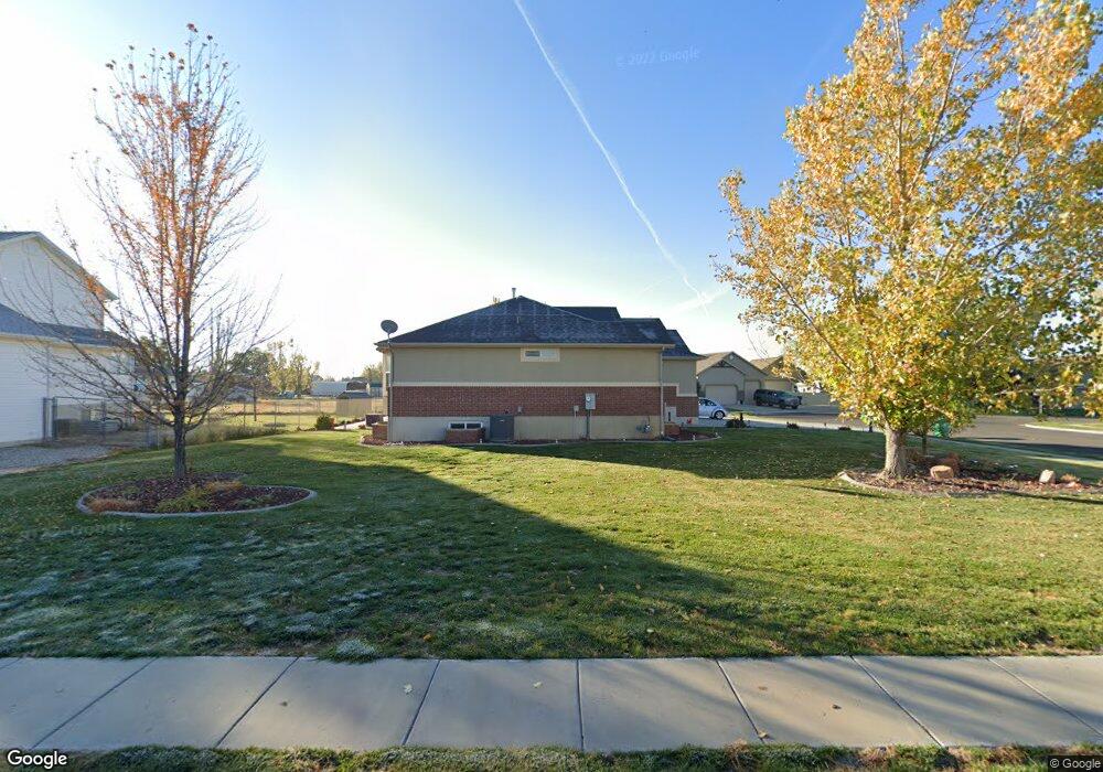
4579 W 200 N Unit 217 West Point, UT 84015
Estimated Value: $518,000 - $614,000
3
Beds
2
Baths
1,526
Sq Ft
$375/Sq Ft
Est. Value
About This Home
This home is located at 4579 W 200 N Unit 217, West Point, UT 84015 and is currently estimated at $572,120, approximately $374 per square foot. 4579 W 200 N Unit 217 is a home located in Davis County with nearby schools including West Point School, West Point Junior High School, and Syracuse High School.
Ownership History
Date
Name
Owned For
Owner Type
Purchase Details
Closed on
Nov 22, 2021
Sold by
Brown Chad L and Brown Patricia K
Bought by
Chad And Patty Brown Family Trust and Brown
Current Estimated Value
Purchase Details
Closed on
Sep 2, 2005
Sold by
Mike Schultz Construction Inc
Bought by
Brown Chad L and Brown Patricia K
Home Financials for this Owner
Home Financials are based on the most recent Mortgage that was taken out on this home.
Original Mortgage
$19,800
Interest Rate
5.7%
Mortgage Type
Stand Alone Second
Purchase Details
Closed on
Feb 25, 2005
Sold by
Yeates K Delyn and Yeates Jared
Bought by
Mike Schultz Construction Inc
Home Financials for this Owner
Home Financials are based on the most recent Mortgage that was taken out on this home.
Original Mortgage
$724,140
Interest Rate
5.65%
Mortgage Type
Construction
Create a Home Valuation Report for This Property
The Home Valuation Report is an in-depth analysis detailing your home's value as well as a comparison with similar homes in the area
Home Values in the Area
Average Home Value in this Area
Purchase History
| Date | Buyer | Sale Price | Title Company |
|---|---|---|---|
| Chad And Patty Brown Family Trust | -- | None Listed On Document | |
| Brown Chad L | -- | Heritage West Title Ins Agen | |
| Mike Schultz Construction Inc | -- | Founders Title Co | |
| Yeates K Delyn | -- | Founders Title Co |
Source: Public Records
Mortgage History
| Date | Status | Borrower | Loan Amount |
|---|---|---|---|
| Previous Owner | Brown Chad L | $19,800 | |
| Previous Owner | Brown Chad L | $158,760 | |
| Previous Owner | Yeates K Delyn | $724,140 |
Source: Public Records
Tax History Compared to Growth
Tax History
| Year | Tax Paid | Tax Assessment Tax Assessment Total Assessment is a certain percentage of the fair market value that is determined by local assessors to be the total taxable value of land and additions on the property. | Land | Improvement |
|---|---|---|---|---|
| 2025 | -- | $284,350 | $120,296 | $164,054 |
| 2024 | $1,863 | $287,650 | $108,231 | $179,419 |
| 2023 | $1,863 | $491,000 | $139,228 | $351,772 |
| 2022 | $2,522 | $291,500 | $73,656 | $217,844 |
| 2021 | $2,147 | $399,000 | $110,360 | $288,640 |
| 2020 | $1,812 | $347,000 | $93,560 | $253,440 |
| 2019 | $1,734 | $331,000 | $90,518 | $240,482 |
| 2018 | $1,568 | $303,000 | $88,674 | $214,326 |
| 2016 | $1,256 | $138,215 | $34,390 | $103,825 |
| 2015 | $1,985 | $131,120 | $34,390 | $96,730 |
| 2014 | $1,135 | $125,521 | $34,390 | $91,131 |
| 2013 | -- | $117,301 | $33,161 | $84,140 |
Source: Public Records
Map
Nearby Homes
- 4594 W 75 N Unit 405
- 128 N 4500 W
- 4669 W 75 N
- 4366 W 200 N
- 4352 W 300 N
- 4325 W 75 N
- 120 N 4325 W
- 4362 West St Unit 106
- 4358 West St Unit 105
- 477 N 4500 W
- 4719 W 650 N
- 356 S 4300 W Unit 611
- 357 N 4000 W
- 364 S 4300 W Unit 610
- 3949 W 250 N
- Charleston Plan at Bluff View
- 3851 W 50 S Unit 425
- 3849 W 50 S Unit 426
- 3847 W 50 S Unit 428
- 114 3830 W
- 4563 Jean Cir Unit 216
- 4563 Jean Cir
- 4563 W 200 N
- 4683 Sage Dr Unit 221
- 4599 Sage Dr Unit 218
- 4599 W 175 N
- 4610 Sage Dr Unit 233
- 181 N 4500 W
- 4552 Jean Cir Unit 213
- 4552 Jean Cir
- 4541 W 200 N Unit 215
- 248 N Jean Dr Unit 212
- 248 N 4600 W
- 223 N 4600 W
- 4552 W 200 N
- 4621 Sage Dr Unit 219
- 157 N 4500 W
- 4632 Sage Dr Unit 234
- 4544 W 200 N Unit 214
- 4544 W 200 N