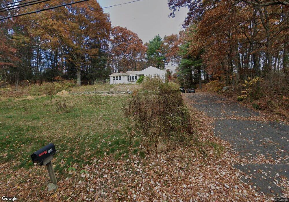
458 Allentown Rd Bristol, CT 06010
South Bristol NeighborhoodEstimated Value: $325,495 - $371,000
2
Beds
1
Bath
1,076
Sq Ft
$327/Sq Ft
Est. Value
About This Home
This home is located at 458 Allentown Rd, Bristol, CT 06010 and is currently estimated at $352,124, approximately $327 per square foot. 458 Allentown Rd is a home located in Hartford County with nearby schools including Chippens Hill Middle School, Bristol Central High School, and Immanuel Lutheran School.
Ownership History
Date
Name
Owned For
Owner Type
Purchase Details
Closed on
Dec 22, 2010
Sold by
Klimas Ronald J and White Patricia J
Bought by
Procko Earl and Procko Miranda
Current Estimated Value
Home Financials for this Owner
Home Financials are based on the most recent Mortgage that was taken out on this home.
Original Mortgage
$224,169
Outstanding Balance
$147,727
Interest Rate
4.17%
Estimated Equity
$204,397
Create a Home Valuation Report for This Property
The Home Valuation Report is an in-depth analysis detailing your home's value as well as a comparison with similar homes in the area
Home Values in the Area
Average Home Value in this Area
Purchase History
| Date | Buyer | Sale Price | Title Company |
|---|---|---|---|
| Procko Earl | $230,000 | -- |
Source: Public Records
Mortgage History
| Date | Status | Borrower | Loan Amount |
|---|---|---|---|
| Open | Procko Earl | $224,169 |
Source: Public Records
Tax History Compared to Growth
Tax History
| Year | Tax Paid | Tax Assessment Tax Assessment Total Assessment is a certain percentage of the fair market value that is determined by local assessors to be the total taxable value of land and additions on the property. | Land | Improvement |
|---|---|---|---|---|
| 2025 | $4,900 | $145,180 | $50,820 | $94,360 |
| 2024 | $4,624 | $145,180 | $50,820 | $94,360 |
| 2023 | $4,406 | $145,180 | $50,820 | $94,360 |
| 2022 | $3,962 | $103,320 | $39,830 | $63,490 |
| 2021 | $3,962 | $103,320 | $39,830 | $63,490 |
| 2020 | $4,389 | $114,450 | $52,430 | $62,020 |
| 2019 | $4,355 | $114,450 | $49,840 | $64,610 |
| 2018 | $4,221 | $114,450 | $49,840 | $64,610 |
| 2017 | $4,590 | $127,400 | $71,190 | $56,210 |
| 2016 | $4,590 | $127,400 | $71,190 | $56,210 |
| 2015 | $4,409 | $127,400 | $71,190 | $56,210 |
| 2014 | $4,409 | $127,400 | $71,190 | $56,210 |
Source: Public Records
Map
Nearby Homes
- 20 Brookview Cir
- 27 Club Ln
- 93-95 Eastview Rd
- 47 Eastview Rd
- 101 Corbin Ridge
- 145 Corbin Ridge
- 13 Overlook Terrace
- 22 Overlook Terrace
- 140 Corbin Ridge
- 4 Fall Mountain Terrace
- 351 Witches Rock Rd
- 115 Kilmartin Ave
- 26 Kilmartin Ave
- 115 Old Wolcott Rd
- 66 Mattatuck Rd
- 212 Rockwell Ave
- 189 Newell Ave
- 489 Wolcott St Unit 46
- 489 Wolcott St Unit 47
- 489 Wolcott St Unit 25
- 431 Allentown Rd
- 112 Turtlebrook Ln
- 112 Turtlebrook Ln Unit 20
- 509 Allentown Rd
- 216 Boulder Dr Unit 216
- 218 Boulder Dr Unit 218
- 211 Boulder Dr Unit 211
- 209 Boulder Dr Unit 209
- 222 Boulder Dr Unit 222
- 213 Boulder Dr Unit 213
- 8 Turtlebrook Ln
- 107 Turtlebrook Ln
- 107 Turtlebrook Ln Unit 21
- 110 Turtlebrook Ln
- 108 Turtlebrook Ln
- 104 Turtlebrook Ln
- 110 Turtlebrook Ln Unit 19
- 104 Turtlebrook Ln Unit 16
- 110 Turtlebrook Ln Unit 110
- 105 Turtlebrook Ln