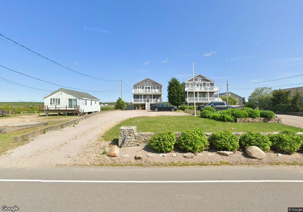
458 Atlantic Ave Westerly, RI 02891
Estimated Value: $1,025,000 - $1,651,000
2
Beds
2
Baths
1,624
Sq Ft
$852/Sq Ft
Est. Value
About This Home
This home is located at 458 Atlantic Ave, Westerly, RI 02891 and is currently estimated at $1,383,282, approximately $851 per square foot. 458 Atlantic Ave is a home located in Washington County with nearby schools including Westerly High School.
Ownership History
Date
Name
Owned For
Owner Type
Purchase Details
Closed on
Jul 2, 2021
Sold by
Cheechs Re Hldg T and Cheechs Pascuzzi
Bought by
Pascuzzi Anthony
Current Estimated Value
Home Financials for this Owner
Home Financials are based on the most recent Mortgage that was taken out on this home.
Original Mortgage
$226,500
Outstanding Balance
$203,272
Interest Rate
2.9%
Mortgage Type
New Conventional
Estimated Equity
$1,180,010
Purchase Details
Closed on
Jan 15, 2019
Sold by
Pascuzzi Angelo F
Bought by
Cheechs Ret and Pascuzzi
Create a Home Valuation Report for This Property
The Home Valuation Report is an in-depth analysis detailing your home's value as well as a comparison with similar homes in the area
Home Values in the Area
Average Home Value in this Area
Purchase History
| Date | Buyer | Sale Price | Title Company |
|---|---|---|---|
| Pascuzzi Anthony | -- | None Available | |
| Cheechs Ret | -- | -- |
Source: Public Records
Mortgage History
| Date | Status | Borrower | Loan Amount |
|---|---|---|---|
| Open | Pascuzzi Anthony | $226,500 |
Source: Public Records
Tax History
| Year | Tax Paid | Tax Assessment Tax Assessment Total Assessment is a certain percentage of the fair market value that is determined by local assessors to be the total taxable value of land and additions on the property. | Land | Improvement |
|---|---|---|---|---|
| 2025 | $8,939 | $1,257,200 | $927,600 | $329,600 |
| 2024 | $8,961 | $913,500 | $662,500 | $251,000 |
| 2023 | $8,788 | $913,500 | $662,500 | $251,000 |
| 2022 | $8,452 | $884,100 | $662,500 | $221,600 |
| 2021 | $7,586 | $658,500 | $480,200 | $178,300 |
| 2020 | $7,448 | $658,500 | $480,200 | $178,300 |
| 2019 | $7,375 | $658,500 | $480,200 | $178,300 |
| 2018 | $7,526 | $633,500 | $471,500 | $162,000 |
| 2017 | $7,342 | $633,500 | $471,500 | $162,000 |
| 2016 | $7,399 | $633,500 | $471,500 | $162,000 |
| 2015 | $7,006 | $647,500 | $481,200 | $166,300 |
| 2014 | $6,889 | $647,500 | $481,200 | $166,300 |
Source: Public Records
Map
Nearby Homes
- 446 Atlantic Ave
- 432 Atlantic Ave
- 20 Snowberry Ln
- 22 Breach Dr
- 15 Breach Dr
- 30 Clifford Dr
- 19 Wicklow Rd
- 9 Compass Way Unit 201
- 9 Compass Way Unit 202
- 9 Compass Way Unit 101
- 9 Compass Way Unit 102
- 9 Compass Way Unit 103
- 9 Compass Way Unit 203
- 13 Plateau Rd
- 54 Sherwood Dr
- 11 Bucks Trail
- 43 Noyes Neck Rd
- 27 Benson Ave
- 10 Tristam St
- 5 Robin Hollow Ln
- 460 Atlantic Ave
- 464 Atlantic Ave
- 452 Atlantic Ave
- 09 Shore Gardens Rd
- 448 Atlantic Ave
- 0 Shore Gardens Rd
- 0 Shore Gardens Rd
- 3 Watermans Way
- 457 Atlantic Ave
- 455 Atlantic Ave
- 459 Atlantic Ave
- 453 Atlantic Ave
- 451 Atlantic Ave
- 461 Atlantic Ave
- 465 Atlantic Ave
- 449 Atlantic Ave
- 447 Atlantic Ave
- 467 Atlantic Ave
- 445 Atlantic Ave
- 444 Atlantic Ave
Your Personal Tour Guide
Ask me questions while you tour the home.