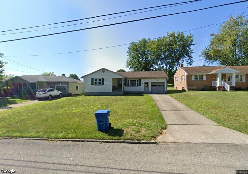
458 Brandon Ave Struthers, OH 44471
Estimated Value: $145,000 - $160,000
3
Beds
1
Bath
1,054
Sq Ft
$145/Sq Ft
Est. Value
About This Home
This home is located at 458 Brandon Ave, Struthers, OH 44471 and is currently estimated at $152,637, approximately $144 per square foot. 458 Brandon Ave is a home located in Mahoning County with nearby schools including Struthers Elementary School, Struthers Middle School, and Struthers High School.
Ownership History
Date
Name
Owned For
Owner Type
Purchase Details
Closed on
Apr 10, 2002
Sold by
Perrett Thomas J
Bought by
Laws Darin L and Laws Sheila Ann
Current Estimated Value
Home Financials for this Owner
Home Financials are based on the most recent Mortgage that was taken out on this home.
Original Mortgage
$75,660
Outstanding Balance
$29,790
Interest Rate
6.82%
Estimated Equity
$122,848
Purchase Details
Closed on
Jun 13, 1988
Bought by
Perrett Deanne
Create a Home Valuation Report for This Property
The Home Valuation Report is an in-depth analysis detailing your home's value as well as a comparison with similar homes in the area
Home Values in the Area
Average Home Value in this Area
Purchase History
| Date | Buyer | Sale Price | Title Company |
|---|---|---|---|
| Laws Darin L | $78,000 | Sebring Title Agency Inc | |
| Perrett Deanne | -- | -- |
Source: Public Records
Mortgage History
| Date | Status | Borrower | Loan Amount |
|---|---|---|---|
| Open | Laws Darin L | $75,660 |
Source: Public Records
Tax History
| Year | Tax Paid | Tax Assessment Tax Assessment Total Assessment is a certain percentage of the fair market value that is determined by local assessors to be the total taxable value of land and additions on the property. | Land | Improvement |
|---|---|---|---|---|
| 2025 | $1,499 | $36,010 | $2,660 | $33,350 |
| 2024 | $1,500 | $36,010 | $2,660 | $33,350 |
| 2023 | $1,474 | $36,010 | $2,660 | $33,350 |
| 2022 | $1,312 | $24,270 | $2,500 | $21,770 |
| 2021 | $1,300 | $24,270 | $2,500 | $21,770 |
| 2020 | $1,306 | $24,270 | $2,500 | $21,770 |
| 2019 | $1,251 | $21,110 | $2,180 | $18,930 |
| 2018 | $1,194 | $21,110 | $2,180 | $18,930 |
| 2017 | $1,215 | $21,110 | $2,180 | $18,930 |
| 2016 | $1,240 | $22,490 | $2,540 | $19,950 |
| 2015 | $1,211 | $22,490 | $2,540 | $19,950 |
| 2014 | $1,215 | $22,490 | $2,540 | $19,950 |
| 2013 | $1,129 | $22,490 | $2,540 | $19,950 |
Source: Public Records
Map
Nearby Homes
- 453 W Omar St
- 795 5th St
- 587 Edison St
- 1054 Runge Ave
- 611 W Wilson St
- 250 E Manor Ave
- 2089 Shetland Ln
- 227 Wilson St
- 2370 Lyon Blvd
- 0 Smithfield St Unit 4336782
- 457 Sexton St
- 2301 Lyon Blvd
- 1933 Brandon Ave
- 5710 Youngstown Poland Rd
- 1926 Brandon Ave
- 143 Wilson St
- 281 Sexton St
- 265 Sexton St
- 306 Maplewood Ave
- 464 Elm St
- 452 Brandon Ave
- 464 Brandon Ave
- 448 Brandon Ave
- 470 Brandon Ave
- 457 W Harvey St
- 446 Brandon Ave
- 451 W Harvey St
- 476 Brandon Ave
- 455 Brandon Ave
- 459 Brandon Ave
- 445 W Harvey St
- 451 Brandon Ave
- 469 W Harvey St
- 475 W Harvey St
- 475 Brandon Ave
- 430 Brandon Ave
- 481 W Harvey St
- 484 Brandon Ave
- 433 W Harvey St
- 477 Brandon Ave
Your Personal Tour Guide
Ask me questions while you tour the home.