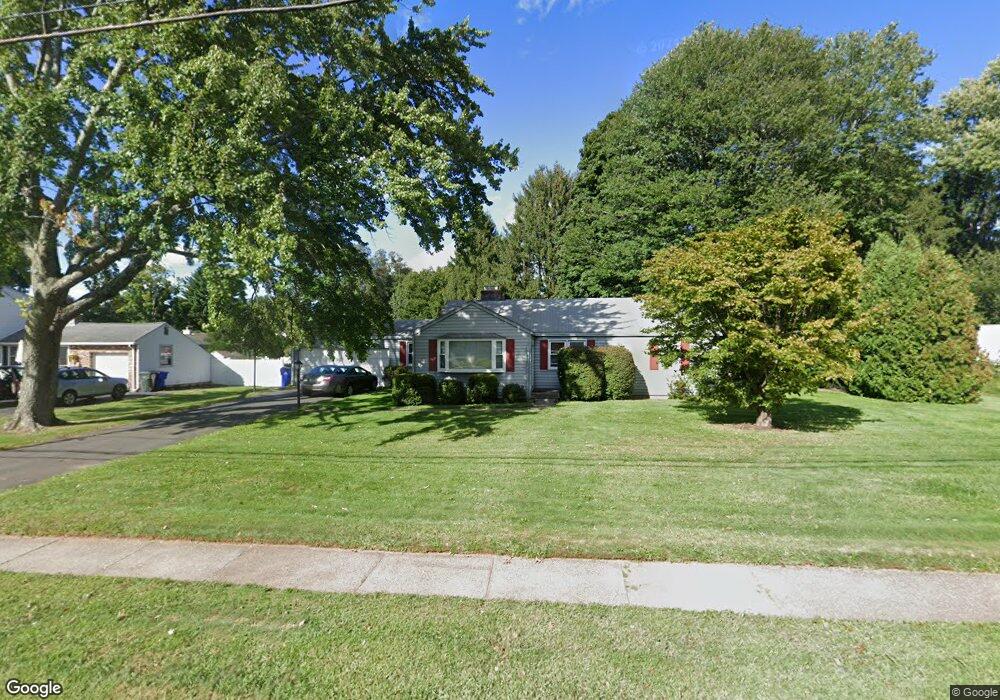
458 Griswold Rd Wethersfield, CT 06109
Estimated Value: $351,000 - $432,000
3
Beds
1
Bath
1,256
Sq Ft
$320/Sq Ft
Est. Value
About This Home
This home is located at 458 Griswold Rd, Wethersfield, CT 06109 and is currently estimated at $401,316, approximately $319 per square foot. 458 Griswold Rd is a home located in Hartford County with nearby schools including Highcrest School, Silas Deane Middle School, and Wethersfield High School.
Ownership History
Date
Name
Owned For
Owner Type
Purchase Details
Closed on
Jun 10, 2010
Sold by
Groman Jamie C and Warner Heather
Bought by
Branclforte Jennifer L and Greer James J
Current Estimated Value
Home Financials for this Owner
Home Financials are based on the most recent Mortgage that was taken out on this home.
Original Mortgage
$256,545
Outstanding Balance
$171,091
Interest Rate
4.87%
Mortgage Type
FHA
Estimated Equity
$230,225
Purchase Details
Closed on
Jan 25, 2007
Sold by
Groman William F
Bought by
Groman Jamie C
Home Financials for this Owner
Home Financials are based on the most recent Mortgage that was taken out on this home.
Original Mortgage
$127,500
Interest Rate
6.15%
Create a Home Valuation Report for This Property
The Home Valuation Report is an in-depth analysis detailing your home's value as well as a comparison with similar homes in the area
Home Values in the Area
Average Home Value in this Area
Purchase History
| Date | Buyer | Sale Price | Title Company |
|---|---|---|---|
| Branclforte Jennifer L | $260,000 | -- | |
| Groman Jamie C | $122,500 | -- |
Source: Public Records
Mortgage History
| Date | Status | Borrower | Loan Amount |
|---|---|---|---|
| Open | Groman Jamie C | $256,545 | |
| Previous Owner | Groman Jamie C | $178,000 | |
| Previous Owner | Groman Jamie C | $127,500 |
Source: Public Records
Tax History Compared to Growth
Tax History
| Year | Tax Paid | Tax Assessment Tax Assessment Total Assessment is a certain percentage of the fair market value that is determined by local assessors to be the total taxable value of land and additions on the property. | Land | Improvement |
|---|---|---|---|---|
| 2025 | $9,535 | $231,330 | $92,610 | $138,720 |
| 2024 | $6,483 | $150,010 | $69,990 | $80,020 |
| 2023 | $6,267 | $150,010 | $69,990 | $80,020 |
| 2022 | $6,162 | $150,010 | $69,990 | $80,020 |
| 2021 | $6,101 | $150,010 | $69,990 | $80,020 |
| 2020 | $6,104 | $150,010 | $69,990 | $80,020 |
| 2019 | $6,111 | $150,010 | $69,990 | $80,020 |
| 2018 | $5,999 | $147,100 | $64,700 | $82,400 |
| 2017 | $5,850 | $147,100 | $64,700 | $82,400 |
| 2016 | $5,669 | $147,100 | $64,700 | $82,400 |
| 2015 | $5,618 | $147,100 | $64,700 | $82,400 |
| 2014 | $5,404 | $147,100 | $64,700 | $82,400 |
Source: Public Records
Map
Nearby Homes
- 37 Two Stone Dr
- 143 Valley Crest Dr
- 231 Charter Rd
- 88 Highland St
- 72 Concord Dr
- 50 Concord Dr Unit 50
- 268 Fox Hill Rd
- 33 Golf Rd
- 325 Fox Hill Rd
- 38 Wheeler Rd
- 186 Hang Dog Ln
- 1610 Silas Deane Hwy
- 13 Robbins Ln Unit B
- 0 Collier Rd
- 101 Collier Rd
- 195 Middletown Ave
- 155 Old Common Rd
- 59 Chapin Ave
- 5 Robeth Ln
- 119 Coleman Rd