Estimated Value: $586,971 - $660,000
4
Beds
3
Baths
2,744
Sq Ft
$228/Sq Ft
Est. Value
About This Home
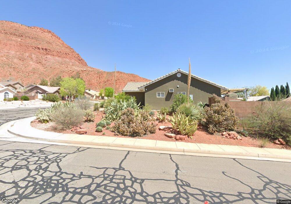
This home is located at 458 N 300 W, Ivins, UT 84738 and is currently estimated at $626,493, approximately $228 per square foot. 458 N 300 W is a home with nearby schools including Enterprise School and Enterprise High School.
Ownership History
Date
Name
Owned For
Owner Type
Purchase Details
Closed on
Jun 11, 2008
Sold by
Desert Valley Development Inc
Bought by
Johnson Nolan D and Johnson Miriam
Current Estimated Value
Home Financials for this Owner
Home Financials are based on the most recent Mortgage that was taken out on this home.
Original Mortgage
$36,700
Interest Rate
6.05%
Mortgage Type
Balloon
Create a Home Valuation Report for This Property
The Home Valuation Report is an in-depth analysis detailing your home's value as well as a comparison with similar homes in the area
Home Values in the Area
Average Home Value in this Area
Purchase History
| Date | Buyer | Sale Price | Title Company |
|---|---|---|---|
| Johnson Nolan D | -- | Southern Utah Title |
Source: Public Records
Mortgage History
| Date | Status | Borrower | Loan Amount |
|---|---|---|---|
| Closed | Johnson Nolan D | $36,700 |
Source: Public Records
Tax History Compared to Growth
Tax History
| Year | Tax Paid | Tax Assessment Tax Assessment Total Assessment is a certain percentage of the fair market value that is determined by local assessors to be the total taxable value of land and additions on the property. | Land | Improvement |
|---|---|---|---|---|
| 2025 | $2,310 | $318,340 | $41,250 | $277,090 |
| 2023 | $2,218 | $314,050 | $41,250 | $272,800 |
| 2022 | $3,108 | $337,810 | $41,250 | $296,560 |
| 2021 | $2,184 | $431,600 | $45,000 | $386,600 |
| 2020 | $1,795 | $333,900 | $35,000 | $298,900 |
| 2019 | $1,822 | $328,800 | $30,000 | $298,800 |
| 2018 | $1,706 | $159,390 | $0 | $0 |
| 2017 | $1,583 | $142,065 | $0 | $0 |
| 2016 | $1,645 | $136,730 | $0 | $0 |
| 2015 | $1,682 | $134,915 | $0 | $0 |
| 2014 | $1,723 | $138,215 | $0 | $0 |
Source: Public Records
Map
Nearby Homes
- 328 W 475 N
- 232 W 475 N
- 319 N 200 W
- 177 W 350 N
- 120 W 100 St S
- 711 W Main St
- 149 S 100 St E
- 373 E 100 N
- 0 184 77 Acres Unit 25-265059
- 0 184 77 Acres Unit 113074
- Financing Miningclaim Ownership
- 242 S 200 St E
- 260 E 300 S
- 231 400 E
- 0 Cottonwood Ln Unit 24-255522
- 0 1 21 Acre Parcel #E-Cwr-2-10 Unit 110695
- 0 1 21 Acre Parcel #E-Cwr-2-10 Unit 25-259941
- 160 S 550 E
- 160 S 550 E Unit 18
- 496 S 200 E