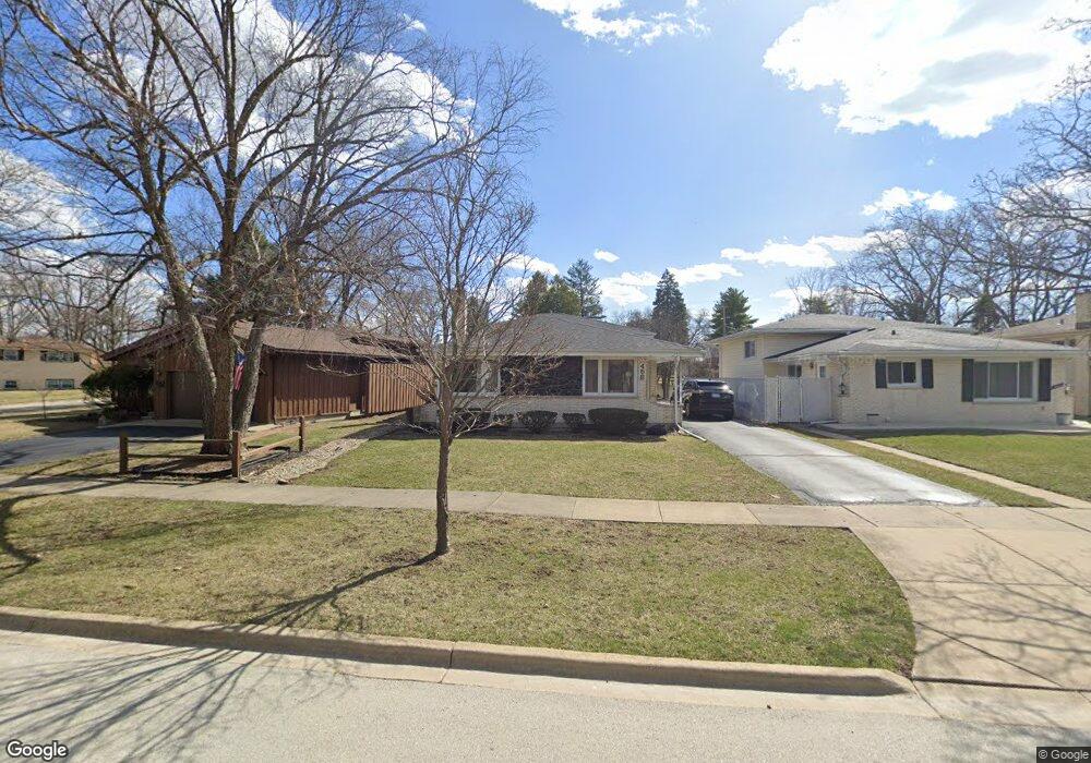
458 W Commonwealth Ln Elmhurst, IL 60126
Estimated Value: $411,525 - $503,000
Studio
--
Bath
1,351
Sq Ft
$349/Sq Ft
Est. Value
About This Home
This home is located at 458 W Commonwealth Ln, Elmhurst, IL 60126 and is currently estimated at $471,381, approximately $348 per square foot. 458 W Commonwealth Ln is a home located in DuPage County with nearby schools including Salt Creek Elementary School, Stella May Swartz Elementary School, and John E Albright Middle School.
Ownership History
Date
Name
Owned For
Owner Type
Purchase Details
Closed on
Nov 27, 2001
Sold by
Stack Margaret D and Kruse Margaret D
Bought by
Clark Charles T and Clark Barbara A
Current Estimated Value
Home Financials for this Owner
Home Financials are based on the most recent Mortgage that was taken out on this home.
Original Mortgage
$100,000
Outstanding Balance
$39,162
Interest Rate
6.6%
Estimated Equity
$432,219
Create a Home Valuation Report for This Property
The Home Valuation Report is an in-depth analysis detailing your home's value as well as a comparison with similar homes in the area
Home Values in the Area
Average Home Value in this Area
Purchase History
| Date | Buyer | Sale Price | Title Company |
|---|---|---|---|
| Clark Charles T | $242,500 | Attorneys Title Guaranty Fun |
Source: Public Records
Mortgage History
| Date | Status | Borrower | Loan Amount |
|---|---|---|---|
| Open | Clark Charles T | $100,000 |
Source: Public Records
Tax History
| Year | Tax Paid | Tax Assessment Tax Assessment Total Assessment is a certain percentage of the fair market value that is determined by local assessors to be the total taxable value of land and additions on the property. | Land | Improvement |
|---|---|---|---|---|
| 2024 | $6,448 | $135,143 | $37,449 | $97,694 |
| 2023 | $5,498 | $124,970 | $34,630 | $90,340 |
| 2022 | $5,416 | $120,130 | $33,290 | $86,840 |
| 2021 | $5,504 | $117,140 | $32,460 | $84,680 |
| 2020 | $5,438 | $114,570 | $31,750 | $82,820 |
| 2019 | $5,211 | $108,930 | $30,190 | $78,740 |
| 2018 | $5,325 | $108,430 | $28,580 | $79,850 |
| 2017 | $5,228 | $103,320 | $27,230 | $76,090 |
| 2016 | $4,905 | $97,330 | $25,650 | $71,680 |
| 2015 | $4,811 | $90,680 | $23,900 | $66,780 |
| 2014 | $5,406 | $96,370 | $21,820 | $74,550 |
| 2013 | $5,355 | $97,730 | $22,130 | $75,600 |
Source: Public Records
Map
Nearby Homes
- 465 W Verret St
- 964 S Hillside Ave
- 625 E Van Buren St
- 8 Saint Regis Ct
- 3 Charlotte Cir
- 3 Dewalt Ct
- 1335 S Villa Ave
- 1S045 Spring Rd Unit H2
- 1S045 Spring Rd Unit 1D
- 1S055 Spring Rd Unit 1C
- 2 S Atrium Way Unit 606
- 995 S Swain Ave
- 868 S Spring Rd
- 20 Oak Tree Ct
- 936 S Mitchell Ave
- 1 Maple Tree Ct
- 4 Oak Brook Club Dr Unit G205
- 769 S Fairview Ave
- 1200 S Prospect Ave Unit 108
- 1105 S Euclid Ave
- 452 W Commonwealth Ln
- 462 W Commonwealth Ln
- 466 W Commonwealth Ln
- 1042 S Sunset Ave
- 470 W Commonwealth Ln
- 1059 S Sunset Ave
- 475 W Avery St
- 474 W Commonwealth Ln
- 459 W Commonwealth Ln
- 481 W Avery St
- 1077 S Sunset Ave
- 1038 S Sunset Ave
- 436 W Commonwealth Ln
- 476 W Commonwealth Ln
- 443 W Commonwealth Ln
- 477 W Avery St
- 485 W Avery St
- 485 W Avery St
- 432 W Commonwealth Ln
- 455 W Avery St
Your Personal Tour Guide
Ask me questions while you tour the home.