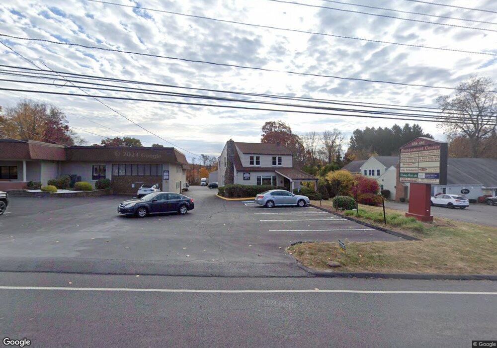
458 Wolcott Rd Unit FL1 Wolcott, CT 06716
Estimated Value: $1,974,111
Studio
--
Bath
--
Sq Ft
91,912
Sq Ft Lot
About This Home
This home is located at 458 Wolcott Rd Unit FL1, Wolcott, CT 06716 and is currently estimated at $1,974,111. 458 Wolcott Rd Unit FL1 is a home located in New Haven County with nearby schools including Tyrrell Middle School and Wolcott High School.
Ownership History
Date
Name
Owned For
Owner Type
Purchase Details
Closed on
Nov 29, 2023
Sold by
Fp & C Properties Llc
Bought by
458 Wolcott Llc
Current Estimated Value
Home Financials for this Owner
Home Financials are based on the most recent Mortgage that was taken out on this home.
Original Mortgage
$1,390,000
Outstanding Balance
$1,361,683
Interest Rate
7.63%
Mortgage Type
Purchase Money Mortgage
Estimated Equity
$612,428
Create a Home Valuation Report for This Property
The Home Valuation Report is an in-depth analysis detailing your home's value as well as a comparison with similar homes in the area
Home Values in the Area
Average Home Value in this Area
Purchase History
| Date | Buyer | Sale Price | Title Company |
|---|---|---|---|
| 458 Wolcott Llc | $1,738,000 | None Available | |
| 458 Wolcott Llc | $1,738,000 | None Available |
Source: Public Records
Mortgage History
| Date | Status | Borrower | Loan Amount |
|---|---|---|---|
| Open | 458 Wolcott Llc | $1,390,000 | |
| Closed | 458 Wolcott Llc | $1,390,000 |
Source: Public Records
Tax History
| Year | Tax Paid | Tax Assessment Tax Assessment Total Assessment is a certain percentage of the fair market value that is determined by local assessors to be the total taxable value of land and additions on the property. | Land | Improvement |
|---|---|---|---|---|
| 2025 | $39,490 | $1,099,090 | $198,990 | $900,100 |
| 2024 | $36,347 | $1,099,090 | $198,990 | $900,100 |
| 2023 | $35,028 | $1,099,090 | $198,990 | $900,100 |
| 2022 | $33,852 | $1,099,090 | $198,990 | $900,100 |
| 2021 | $35,701 | $1,077,290 | $175,540 | $901,750 |
| 2020 | $35,701 | $1,077,290 | $175,540 | $901,750 |
| 2019 | $35,701 | $1,077,290 | $175,540 | $901,750 |
| 2018 | $34,689 | $1,077,290 | $175,540 | $901,750 |
| 2017 | $33,687 | $1,077,290 | $175,540 | $901,750 |
| 2016 | $31,372 | $1,085,170 | $175,620 | $909,550 |
| 2015 | $30,472 | $1,085,170 | $175,620 | $909,550 |
| 2014 | $29,448 | $1,083,830 | $175,620 | $908,210 |
Source: Public Records
Map
Nearby Homes
- 210 Munson Rd Unit 2-D
- 210 Munson Rd Unit 1-H
- 210 Munson Rd Unit 1-F
- 210 Munson Rd Unit 2-F
- 210 Munson Rd Unit 1B
- 210 Munson Rd Unit 1-E
- 210 Munson Rd Unit 1-G
- 210 Munson Rd Unit 1-A
- 210 Munson Rd Unit 1D
- 210 Munson Rd Unit 2-G
- 210 Munson Rd Unit 2-C
- 210 Munson Rd Unit 2-E
- 210 Munson Rd Unit 1-C
- 69 Munson Rd
- 65 Munson Rd
- 176 Brooks Hill Rd
- 20 Wolf Hill Rd Unit 1A
- 63 Lyman Rd
- 18 Sheraton Dr
- 99 Hickory Ln
- 458 Wolcott Rd
- 464 Wolcott Rd Unit 1st FLR
- 464 Wolcott Rd Unit 2
- 453 Wolcott Rd
- 478 Wolcott Rd
- 463 Wolcott Rd
- 22 Kreger Dr
- 483 Wolcott Rd
- 17 Kreger Dr
- 491 Wolcott Rd
- 491 Wolcott Rd
- 447 Wolcott Rd
- 491 Wolcott Rd
- 9 Kreger Dr
- 438 Wolcott Rd
- 26 Hampshire Dr
- 25 Kreger Dr
- 48 Kreger Dr
- 432 Wolcott Rd
- 25 Hampshire Dr
Your Personal Tour Guide
Ask me questions while you tour the home.