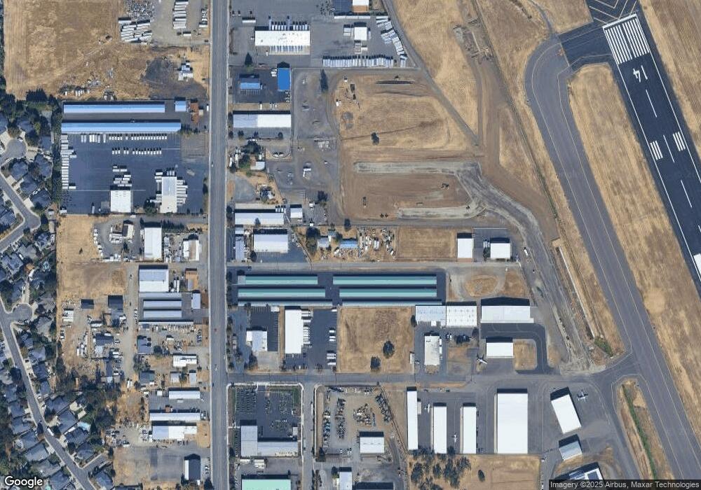
4582 Table Rock Rd Central Point, OR 97502
Estimated Value: $421,000 - $498,952
--
Bed
--
Bath
--
Sq Ft
2.24
Acres
About This Home
This home is located at 4582 Table Rock Rd, Central Point, OR 97502 and is currently estimated at $458,984. 4582 Table Rock Rd is a home located in Jackson County with nearby schools including Wilson Elementary School, Hedrick Middle School, and North Medford High School.
Ownership History
Date
Name
Owned For
Owner Type
Purchase Details
Closed on
Mar 8, 2005
Sold by
Vergara Maria D and Maria D Vergara Loving Trust
Bought by
Andrest Richard Joseph
Current Estimated Value
Purchase Details
Closed on
Mar 7, 2005
Sold by
Vergara Maria D and Maria D Vergara Loving Trust
Bought by
Andrest Richard Joseph
Create a Home Valuation Report for This Property
The Home Valuation Report is an in-depth analysis detailing your home's value as well as a comparison with similar homes in the area
Home Values in the Area
Average Home Value in this Area
Purchase History
| Date | Buyer | Sale Price | Title Company |
|---|---|---|---|
| Andrest Richard Joseph | $260,000 | First American Title | |
| Andrest Richard Joseph | $260,000 | -- |
Source: Public Records
Tax History Compared to Growth
Tax History
| Year | Tax Paid | Tax Assessment Tax Assessment Total Assessment is a certain percentage of the fair market value that is determined by local assessors to be the total taxable value of land and additions on the property. | Land | Improvement |
|---|---|---|---|---|
| 2025 | $3,051 | $210,370 | $115,230 | $95,140 |
| 2024 | $3,051 | $204,250 | $111,880 | $92,370 |
| 2023 | $2,958 | $198,310 | $108,630 | $89,680 |
| 2022 | $2,886 | $198,310 | $108,630 | $89,680 |
| 2021 | $2,811 | $192,540 | $105,470 | $87,070 |
| 2020 | $2,752 | $186,940 | $102,410 | $84,530 |
| 2019 | $2,687 | $176,220 | $96,540 | $79,680 |
| 2018 | $2,618 | $171,090 | $93,730 | $77,360 |
| 2017 | $2,571 | $171,090 | $93,730 | $77,360 |
| 2016 | $2,588 | $161,280 | $88,360 | $72,920 |
| 2015 | $2,487 | $161,280 | $88,360 | $72,920 |
| 2014 | $2,443 | $152,030 | $83,290 | $68,740 |
Source: Public Records
Map
Nearby Homes
- 4595 Table Rock Rd
- 4399 Table Rock Rd
- 223 Ridgeway Ave
- 2770 Parkwood Village Ln
- 201 Orchardview Cir
- 4404 Biddle Rd
- 4251 Table Rock Rd
- 705 Mountain Ave
- 4601 Biddle Rd Unit C
- 4105 Table Rock Rd
- 4121 Table Rock Rd
- 446 Beebe Rd
- 4286 Hamrick Rd
- 2598 St James Way
- 2330 Savannah Dr
- 4824 Airway Dr Unit 371W06BB410
- 1840 E Pine St
- 2248 Evan Way
- 2225 New Haven Dr
- 862 Enterprise Dr
- 4606 Table Rock Rd
- 4642 Table Rock Rd
- 4614 Table Rock Rd
- 20 Oak Dr
- 4500 Table Rock Rd
- 4706 Table Rock Rd
- 4551 Table Rock Rd
- 171 Schultz Rd Unit 177
- 4578 Table Rock Rd
- 177 Schultz Rd
- 4625 Table Rock 4611 4595 Rd
- 4625 Table Rock -4611 4595 Rd
- 4460 Table Rock Rd
- 4611 Table Rock 4625 4595 Rd
- 4517 Table Rock 4521 Rd
- 4495 Table Rock Rd
- 4495 Table Rock Rd Unit B & E
- 4595 Table Rock Rd Unit 4625
- 4523 Table Rock Rd
- 4747 Table Rock Rd
