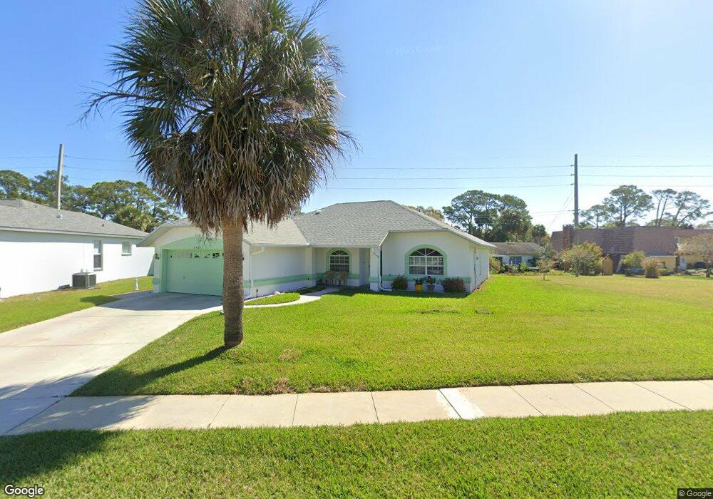
4583 Woodcove Dr Port Orange, FL 32127
South Port Orange NeighborhoodEstimated Value: $319,000 - $358,000
3
Beds
2
Baths
1,702
Sq Ft
$199/Sq Ft
Est. Value
About This Home
This home is located at 4583 Woodcove Dr, Port Orange, FL 32127 and is currently estimated at $337,898, approximately $198 per square foot. 4583 Woodcove Dr is a home located in Volusia County with nearby schools including Sugar Mill Elementary School, Silver Sands Middle School, and Spruce Creek High School.
Ownership History
Date
Name
Owned For
Owner Type
Purchase Details
Closed on
Apr 19, 1994
Sold by
Indigo Group Ltd
Bought by
Waller William F and Waller Terri L
Current Estimated Value
Home Financials for this Owner
Home Financials are based on the most recent Mortgage that was taken out on this home.
Original Mortgage
$57,000
Interest Rate
7.61%
Purchase Details
Closed on
Jul 15, 1989
Bought by
Waller William and Waller Terri L
Create a Home Valuation Report for This Property
The Home Valuation Report is an in-depth analysis detailing your home's value as well as a comparison with similar homes in the area
Home Values in the Area
Average Home Value in this Area
Purchase History
| Date | Buyer | Sale Price | Title Company |
|---|---|---|---|
| Waller William F | $87,000 | -- | |
| Waller William | $100 | -- |
Source: Public Records
Mortgage History
| Date | Status | Borrower | Loan Amount |
|---|---|---|---|
| Closed | Waller William F | $57,000 |
Source: Public Records
Tax History Compared to Growth
Tax History
| Year | Tax Paid | Tax Assessment Tax Assessment Total Assessment is a certain percentage of the fair market value that is determined by local assessors to be the total taxable value of land and additions on the property. | Land | Improvement |
|---|---|---|---|---|
| 2025 | $1,777 | $144,469 | -- | -- |
| 2024 | $1,777 | $140,398 | -- | -- |
| 2023 | $1,777 | $136,309 | $0 | $0 |
| 2022 | $1,702 | $132,339 | $0 | $0 |
| 2021 | $1,728 | $128,484 | $0 | $0 |
| 2020 | $1,681 | $126,710 | $0 | $0 |
| 2019 | $1,621 | $123,861 | $0 | $0 |
| 2018 | $1,615 | $121,552 | $0 | $0 |
| 2017 | $1,614 | $119,052 | $0 | $0 |
| 2016 | $1,607 | $116,603 | $0 | $0 |
| 2015 | $1,652 | $115,792 | $0 | $0 |
| 2014 | $1,655 | $114,873 | $0 | $0 |
Source: Public Records
Map
Nearby Homes
- 4589 Alder Dr
- 69 Tropical Ct
- 139 Royal Palm Cir
- 5402 Marshfield Dr
- 66 Tropical Ct
- 13 Royal Palm Cir
- 5411 Marshfield Dr
- 5416 Wilson Dr
- 5417 Wilson Dr
- 4577 Miles Dr
- 1101 Chamberlin Blvd
- 5439 Marshfield Dr
- 5442 Marshfield Dr
- 5412 Newman Dr
- 53 Windward Ct
- 91 Royal Palm Cir
- 124 Royal Palm Cir
- 5423 Durant Dr
- 4590 Miles Dr
- 830 Lakeland Dr
- 4790 Spruce Creek Rd
- 4800 Spruce Creek Rd Unit 2
- 4786 Spruce Creek Rd
- 4584 Woodcove Dr
- 4582 Woodcove Dr
- 4810 Spruce Creek Rd
- 4579 Woodcove Dr
- 4690 Spruce Creek Rd
- 4580 Woodcove Dr
- 805 Woodport Dr
- 804 Woodport Dr
- 4577 Woodcove Dr
- 4686 Spruce Creek Rd
- 4578 Woodcove Dr
- 801 Angelina Ct
- 803 Angelina Ct
- 75 Tropical Ct
- 1 Royal Palm Cir
- 806 Woodport Dr
- 805 Angelina Ct