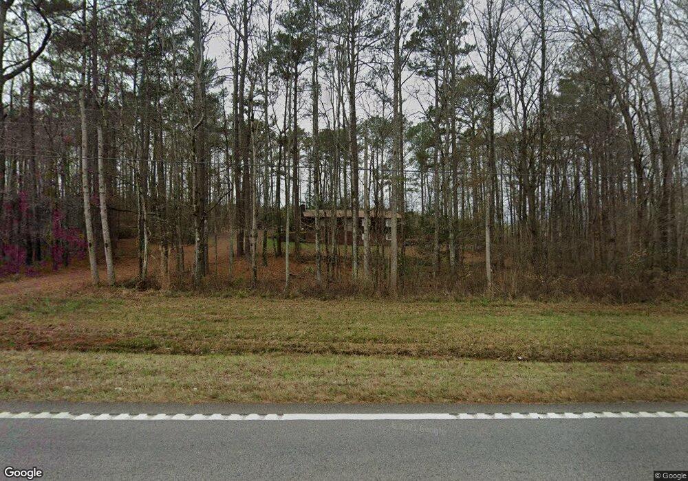
4584 W Point Rd Lagrange, GA 30240
Estimated Value: $225,141 - $253,000
3
Beds
2
Baths
1,568
Sq Ft
$152/Sq Ft
Est. Value
About This Home
This home is located at 4584 W Point Rd, Lagrange, GA 30240 and is currently estimated at $237,785, approximately $151 per square foot. 4584 W Point Rd is a home located in Troup County with nearby schools including Long Cane Elementary School, Berta Weathersbee Elementary School, and West Point Elementary School.
Ownership History
Date
Name
Owned For
Owner Type
Purchase Details
Closed on
Jul 23, 2021
Sold by
Barintine Ginger Danielle
Bought by
Cook Ronald Shane
Current Estimated Value
Home Financials for this Owner
Home Financials are based on the most recent Mortgage that was taken out on this home.
Original Mortgage
$159,065
Outstanding Balance
$143,616
Interest Rate
3%
Mortgage Type
FHA
Estimated Equity
$94,169
Purchase Details
Closed on
Feb 27, 2009
Sold by
Secretary Of Housing
Bought by
Baritine Ginger Danielle
Purchase Details
Closed on
Aug 5, 2008
Sold by
Lunsford Richard
Bought by
Countrywide Home Loans Inc
Purchase Details
Closed on
Sep 5, 1997
Sold by
Williams Vickie L
Bought by
Melinda Richard and Melinda Lunsford
Purchase Details
Closed on
Feb 20, 1990
Bought by
Williams Vickie L
Purchase Details
Closed on
Jun 8, 1977
Create a Home Valuation Report for This Property
The Home Valuation Report is an in-depth analysis detailing your home's value as well as a comparison with similar homes in the area
Purchase History
| Date | Buyer | Sale Price | Title Company |
|---|---|---|---|
| Cook Ronald Shane | $162,000 | -- | |
| Baritine Ginger Danielle | $40,333 | -- | |
| Baritine Ginger Danielle | $40,333 | -- | |
| Countrywide Home Loans Inc | -- | -- | |
| Melinda Richard | $79,900 | -- | |
| Williams Vickie L | -- | -- | |
| -- | -- | -- |
Source: Public Records
Mortgage History
| Date | Status | Borrower | Loan Amount |
|---|---|---|---|
| Open | Cook Ronald Shane | $159,065 |
Source: Public Records
Tax History
| Year | Tax Paid | Tax Assessment Tax Assessment Total Assessment is a certain percentage of the fair market value that is determined by local assessors to be the total taxable value of land and additions on the property. | Land | Improvement |
|---|---|---|---|---|
| 2025 | $2,255 | $82,680 | $5,000 | $77,680 |
| 2024 | $1,929 | $70,720 | $5,000 | $65,720 |
| 2023 | $1,815 | $66,560 | $5,000 | $61,560 |
| 2022 | $1,774 | $63,560 | $5,000 | $58,560 |
| 2021 | $887 | $29,400 | $3,400 | $26,000 |
| 2020 | $887 | $29,400 | $3,400 | $26,000 |
| 2019 | $872 | $28,920 | $3,400 | $25,520 |
| 2018 | $846 | $28,040 | $4,000 | $24,040 |
| 2017 | $846 | $28,040 | $4,000 | $24,040 |
| 2016 | $822 | $27,250 | $4,000 | $23,250 |
| 2015 | $823 | $27,250 | $4,000 | $23,250 |
| 2014 | $788 | $26,026 | $4,000 | $22,026 |
| 2013 | -- | $27,457 | $4,000 | $23,457 |
Source: Public Records
Map
Nearby Homes
- 102 Bridgewater Dr
- 107 Waters Edge Dr
- 107 Sweetwater Ct
- 640 Hudson Rd
- 266 Glass Bridge Rd
- 105 Redwood Dr
- 5714 W Point Rd
- 124 Lincoln Ln
- 119 Plymouth Dr
- 0 Glass Bridge Rd Unit 10679358
- 311 Cumberland Dr
- 113 Colonial Ct Unit 100
- 101 Ivy Springs Dr
- 104 Hidden Springs Dr
- 22 Freeman Rd
- 474 Newton Rd
- 40 River Point Dr
- 0 Cannonville Rd
- 104 Landings Way
- 106 Landings Way
- 4584 West Point Rd
- 4504 West Point Rd
- 4625 West Point Rd
- 4506 West Point Rd
- 4534 West Point Rd
- 4700 West Point Rd
- 6616 Old West Point Rd
- 4475 West Point Rd
- 6576 Old West Point Rd
- 6796 Old West Point Rd
- 6658 Old West Point Rd
- 4734 West Point Rd
- 4782 West Point Rd
- 4792 West Point Rd
- 6478 Old West Point Rd
- 4428 West Point Rd
- 4417 West Point Rd
- 4417 West Point Rd
- 135 Hamilton Dr
- 135 Hamilton Dr Unit 8
Your Personal Tour Guide
Ask me questions while you tour the home.