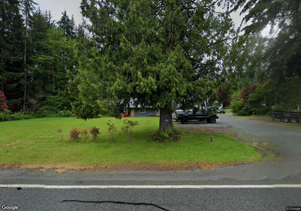
4586 State Route 9 Sedro Woolley, WA 98284
Estimated Value: $674,646 - $877,000
3
Beds
2
Baths
3,861
Sq Ft
$195/Sq Ft
Est. Value
About This Home
This home is located at 4586 State Route 9, Sedro Woolley, WA 98284 and is currently estimated at $752,662, approximately $194 per square foot. 4586 State Route 9 is a home located in Skagit County with nearby schools including Sedro-Woolley Senior High School.
Ownership History
Date
Name
Owned For
Owner Type
Purchase Details
Closed on
Feb 11, 2011
Sold by
Myers Dorothy Michele
Bought by
Myers Allan C
Current Estimated Value
Purchase Details
Closed on
Oct 5, 2006
Sold by
Myers Allan C
Bought by
Myers Allan C and Myers Dorothy Michele
Home Financials for this Owner
Home Financials are based on the most recent Mortgage that was taken out on this home.
Original Mortgage
$164,000
Interest Rate
6.44%
Create a Home Valuation Report for This Property
The Home Valuation Report is an in-depth analysis detailing your home's value as well as a comparison with similar homes in the area
Home Values in the Area
Average Home Value in this Area
Purchase History
| Date | Buyer | Sale Price | Title Company |
|---|---|---|---|
| Myers Allan C | -- | None Available | |
| Myers Allan C | -- | Land Title Company Of Skagit |
Source: Public Records
Mortgage History
| Date | Status | Borrower | Loan Amount |
|---|---|---|---|
| Previous Owner | Myers Allan C | $164,000 |
Source: Public Records
Tax History Compared to Growth
Tax History
| Year | Tax Paid | Tax Assessment Tax Assessment Total Assessment is a certain percentage of the fair market value that is determined by local assessors to be the total taxable value of land and additions on the property. | Land | Improvement |
|---|---|---|---|---|
| 2024 | $5,491 | $612,700 | $289,000 | $323,700 |
| 2023 | $5,491 | $587,800 | $265,500 | $322,300 |
| 2022 | $5,002 | $553,900 | $246,900 | $307,000 |
| 2021 | $4,492 | $447,600 | $190,700 | $256,900 |
| 2020 | $4,145 | $374,800 | $0 | $0 |
| 2019 | $3,145 | $356,600 | $0 | $0 |
| 2018 | $3,610 | $315,200 | $0 | $0 |
| 2017 | $3,200 | $279,800 | $0 | $0 |
| 2016 | $3,155 | $249,500 | $107,900 | $141,600 |
| 2015 | $3,014 | $234,800 | $107,900 | $126,900 |
| 2013 | $3,112 | $213,600 | $0 | $0 |
Source: Public Records
Map
Nearby Homes
- 23404 Prairie Rd
- 4776 Prairie Ln
- 22484 Grip Rd
- 7311 State Route 9
- 6948 Howell Ln
- 7203 Erna Ln
- 22788 Grip Rd
- 20756 Prairie Rd
- 5353 Wildlife Acres Ln
- 0 262XX Helmick Rd
- 26204 Helmick Rd
- 1537 E Gateway Heights Loop
- 7654 Renic Dr
- 1479 W Gateway Heights Loop
- 1422 Porto Bello Ave
- 7514 Avalon Heights Way
- 7833 Renic Dr
- 7583 Avalon Heights Way
- 918 Marie Place
- 426 Longtime Ln
- 4558 State Route 9
- 4628 State Route 9
- 24051 Mangat Lane Lot#1
- 24051 Mangat Ln
- 4694 State Route 9
- 24071 Mangat Ln
- 24105 Mangat Ln
- 4704 State Route 9
- 24133 Mangat Ln
- 24159 Mangat Ln
- 4770 State Route 9
- 4412 State Route 9
- 24187 Mangat Ln
- 4804 State Route 9
- 24213 Mangat Ln
- 4440 State Route 9
- 4501 Washington 9
- 24241 Mangat Ln
- 4824 State Route 9